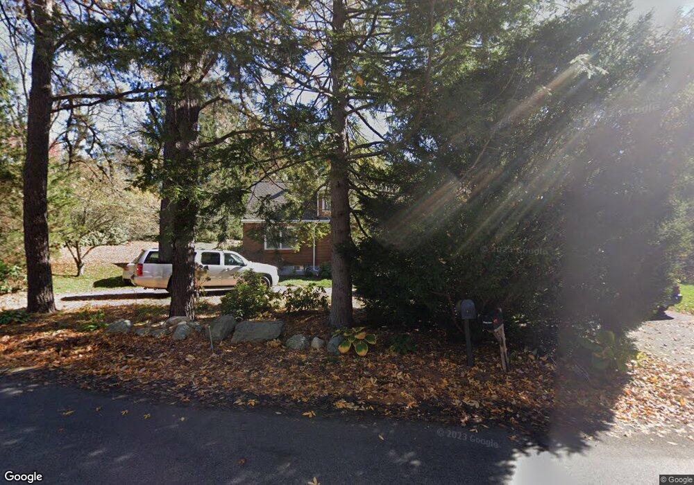
373 Conant Rd Weston, MA 02493
Estimated Value: $1,147,000 - $1,433,000
3
Beds
2
Baths
1,888
Sq Ft
$706/Sq Ft
Est. Value
About This Home
This home is located at 373 Conant Rd, Weston, MA 02493 and is currently estimated at $1,333,814, approximately $706 per square foot. 373 Conant Rd is a home located in Middlesex County with nearby schools including Country Elementary School, Woodland Elementary School, and Weston Middle School.
Ownership History
Date
Name
Owned For
Owner Type
Purchase Details
Closed on
May 30, 2008
Sold by
Baker Colin L
Bought by
Pomianek Debbie M and Pomianek Michael J
Current Estimated Value
Home Financials for this Owner
Home Financials are based on the most recent Mortgage that was taken out on this home.
Original Mortgage
$1,100,000
Outstanding Balance
$700,797
Interest Rate
5.91%
Mortgage Type
Purchase Money Mortgage
Estimated Equity
$633,017
Purchase Details
Closed on
Jul 18, 2007
Sold by
Baker Rt and Baker Andrea
Bought by
Baker Colin L
Create a Home Valuation Report for This Property
The Home Valuation Report is an in-depth analysis detailing your home's value as well as a comparison with similar homes in the area
Home Values in the Area
Average Home Value in this Area
Purchase History
| Date | Buyer | Sale Price | Title Company |
|---|---|---|---|
| Pomianek Debbie M | $680,000 | -- | |
| Baker Colin L | -- | -- | |
| Baker Colin L | -- | -- |
Source: Public Records
Mortgage History
| Date | Status | Borrower | Loan Amount |
|---|---|---|---|
| Open | Pomianek Debbie M | $1,100,000 |
Source: Public Records
Tax History Compared to Growth
Tax History
| Year | Tax Paid | Tax Assessment Tax Assessment Total Assessment is a certain percentage of the fair market value that is determined by local assessors to be the total taxable value of land and additions on the property. | Land | Improvement |
|---|---|---|---|---|
| 2025 | $11,235 | $1,012,200 | $628,900 | $383,300 |
| 2024 | $11,024 | $991,400 | $628,900 | $362,500 |
| 2023 | $10,989 | $928,100 | $628,900 | $299,200 |
| 2022 | $10,577 | $825,700 | $603,000 | $222,700 |
| 2021 | $10,188 | $784,900 | $571,700 | $213,200 |
| 2020 | $55 | $772,100 | $571,700 | $200,400 |
| 2019 | $9,653 | $766,700 | $569,400 | $197,300 |
| 2018 | $9,591 | $766,700 | $569,400 | $197,300 |
| 2017 | $9,507 | $766,700 | $569,400 | $197,300 |
| 2016 | $9,323 | $766,700 | $569,400 | $197,300 |
| 2015 | $9,010 | $733,700 | $541,700 | $192,000 |
Source: Public Records
Map
Nearby Homes