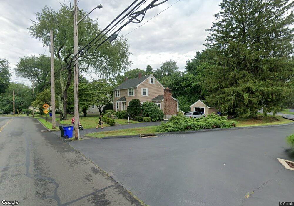
373 High St Unit 373 Fairfield, CT 06824
University NeighborhoodEstimated Value: $602,393 - $663,000
3
Beds
7
Baths
1,788
Sq Ft
$361/Sq Ft
Est. Value
About This Home
This home is located at 373 High St Unit 373, Fairfield, CT 06824 and is currently estimated at $644,848, approximately $360 per square foot. 373 High St Unit 373 is a home located in Fairfield County with nearby schools including Holland Hill Elementary, Fairfield Woods Middle School, and Fairfield Ludlowe High School.
Ownership History
Date
Name
Owned For
Owner Type
Purchase Details
Closed on
Dec 29, 2011
Sold by
Cisero Ruth
Bought by
Ocherttyansky Alexander
Current Estimated Value
Home Financials for this Owner
Home Financials are based on the most recent Mortgage that was taken out on this home.
Original Mortgage
$287,250
Interest Rate
4%
Purchase Details
Closed on
Dec 18, 1991
Sold by
Murtha Paul T
Bought by
Cisero Ruth A
Purchase Details
Closed on
Mar 1, 1991
Sold by
Flynn Stephen J and Flynn Teryl L
Bought by
Murtha Paul T
Purchase Details
Closed on
Mar 12, 1990
Sold by
High St Prop Inc
Bought by
Flynn Stephen J
Create a Home Valuation Report for This Property
The Home Valuation Report is an in-depth analysis detailing your home's value as well as a comparison with similar homes in the area
Home Values in the Area
Average Home Value in this Area
Purchase History
| Date | Buyer | Sale Price | Title Company |
|---|---|---|---|
| Ocherttyansky Alexander | $383,000 | -- | |
| Ocherttyansky Alexander | $383,000 | -- | |
| Cisero Ruth A | $181,500 | -- | |
| Murtha Paul T | $180,000 | -- | |
| Murtha Paul T | $180,000 | -- | |
| Flynn Stephen J | $195,000 | -- |
Source: Public Records
Mortgage History
| Date | Status | Borrower | Loan Amount |
|---|---|---|---|
| Open | Flynn Stephen J | $245,600 | |
| Closed | Flynn Stephen J | $287,250 |
Source: Public Records
Tax History Compared to Growth
Tax History
| Year | Tax Paid | Tax Assessment Tax Assessment Total Assessment is a certain percentage of the fair market value that is determined by local assessors to be the total taxable value of land and additions on the property. | Land | Improvement |
|---|---|---|---|---|
| 2025 | $6,910 | $243,390 | $0 | $243,390 |
| 2024 | $6,791 | $243,390 | $0 | $243,390 |
| 2023 | $6,696 | $243,390 | $0 | $243,390 |
| 2022 | $6,630 | $243,390 | $0 | $243,390 |
| 2021 | $6,567 | $243,390 | $0 | $243,390 |
| 2020 | $6,363 | $237,510 | $0 | $237,510 |
| 2019 | $6,363 | $237,510 | $0 | $237,510 |
| 2018 | $6,261 | $237,510 | $0 | $237,510 |
| 2017 | $6,133 | $237,510 | $0 | $237,510 |
| 2016 | $6,045 | $237,510 | $0 | $237,510 |
| 2015 | $5,895 | $237,790 | $0 | $237,790 |
| 2014 | $5,802 | $237,790 | $0 | $237,790 |
Source: Public Records
Map
Nearby Homes
- 274 High St
- 261 High St
- 235 Lovers Ln
- 633 Black Rock Turnpike
- 478 Crestwood Rd
- 120 Parkwood Rd
- 68 Figlar Ave
- 271 Jeniford Rd
- 221 Hunyadi Ave
- 162 Country Rd Unit 162
- 1035 Black Rock Turnpike Unit 1035
- 1009 High St
- 130 Massachusetts Ave
- 143 Sawyer Rd
- 61 Dogwood Ln
- 109 Green Acre Ln
- 45 Robin Cir
- 148 Roseville St
- 152 Roseville St
- 14 Dill Rd