373 John Walker Rd Dahlonega, GA 30533
Estimated Value: $438,898 - $522,000
--
Bed
3
Baths
2,003
Sq Ft
$240/Sq Ft
Est. Value
About This Home
This home is located at 373 John Walker Rd, Dahlonega, GA 30533 and is currently estimated at $479,725, approximately $239 per square foot. 373 John Walker Rd is a home located in Lumpkin County with nearby schools including Clay County Middle School and Lumpkin County High School.
Ownership History
Date
Name
Owned For
Owner Type
Purchase Details
Closed on
Feb 26, 1999
Sold by
Mincey Kenneth Roger
Bought by
Johnson Allyn C
Current Estimated Value
Purchase Details
Closed on
Feb 28, 1997
Sold by
Kanzler Leslie Rich
Bought by
Mincey Kenneth Roger
Purchase Details
Closed on
Nov 14, 1996
Sold by
Kanzler Ted R
Bought by
Kanzler Leslie Rich
Purchase Details
Closed on
Mar 17, 1994
Bought by
Kanzler Ted R
Create a Home Valuation Report for This Property
The Home Valuation Report is an in-depth analysis detailing your home's value as well as a comparison with similar homes in the area
Home Values in the Area
Average Home Value in this Area
Purchase History
| Date | Buyer | Sale Price | Title Company |
|---|---|---|---|
| Johnson Allyn C | $230,000 | -- | |
| Mincey Kenneth Roger | $171,400 | -- | |
| Kanzler Leslie Rich | -- | -- | |
| Kanzler Ted R | $26,400 | -- |
Source: Public Records
Tax History Compared to Growth
Tax History
| Year | Tax Paid | Tax Assessment Tax Assessment Total Assessment is a certain percentage of the fair market value that is determined by local assessors to be the total taxable value of land and additions on the property. | Land | Improvement |
|---|---|---|---|---|
| 2024 | $873 | $150,372 | $41,577 | $108,795 |
| 2023 | $2,831 | $139,902 | $37,978 | $101,924 |
| 2022 | $3,013 | $123,702 | $31,651 | $92,051 |
| 2021 | $2,794 | $111,133 | $31,651 | $79,482 |
| 2020 | $2,792 | $107,838 | $30,327 | $77,511 |
| 2019 | $2,818 | $107,838 | $30,327 | $77,511 |
| 2018 | $2,775 | $99,798 | $30,327 | $69,471 |
| 2017 | $2,795 | $98,613 | $30,327 | $68,286 |
| 2016 | $2,657 | $90,856 | $30,327 | $60,529 |
| 2015 | $2,372 | $90,856 | $30,327 | $60,529 |
| 2014 | $2,372 | $91,987 | $30,327 | $61,660 |
| 2013 | -- | $93,118 | $30,327 | $62,791 |
Source: Public Records
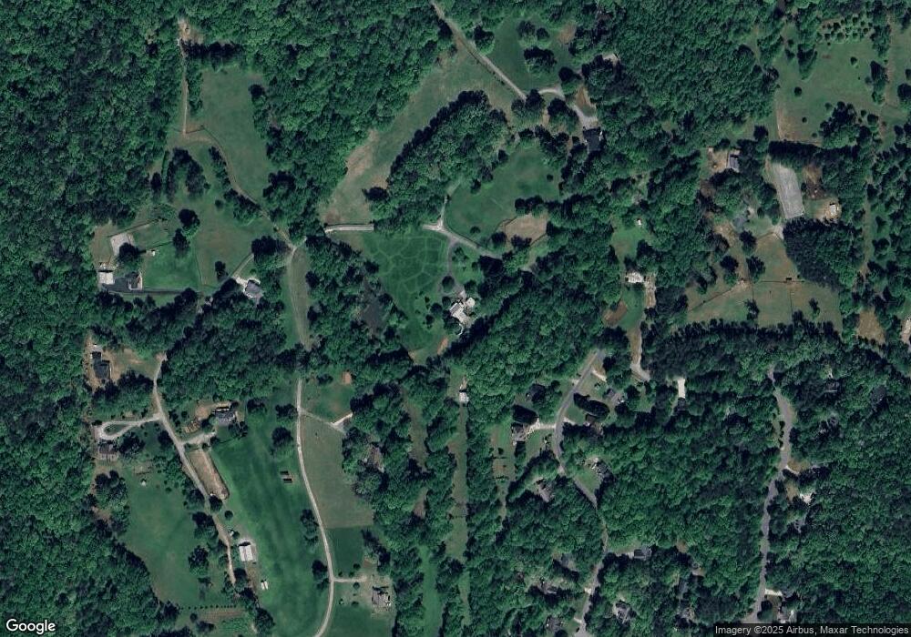
Map
Nearby Homes
- 0 Honey Tree Terrace Unit 10448792
- 0 Honey Tree Terrace Unit 7516071
- 775 Crooked Creek Dr
- 251 Bearslide Hollow
- 3149 Auraria Rd
- 191 Sleepy Hollow Rd
- Lot 5 Still Rd
- 190 Grand Oak Ln
- 1047 Nugget Ct
- 15 Baker St
- 0 Falling Pines Rd Unit 10643861
- 0 Falling Pines Rd Unit 7681028
- 50 Loyal Dr
- 120 Rivermont Ln
- 114 Funaro Ln
- 486 Laurel Cir
- 221 Laurel Cir
- 103 Rainmore Dr
- 0 Rainmore Dr Unit 7620063
- 0 Rainmore Dr Unit 10570615
- 30 Crawfords Way
- 62 Crawfords Way
- 1050 John Walker Rd
- 19 Crawfords Way
- 53 Crawfords Way
- 92 Crawfords Way
- 92 Crawfords Way
- 577 John Walker Rd
- 91 Crawfords Way
- 264 John Walker Rd
- 0 Crawford's Way Unit 8893939
- 0 Crawford's Way Unit 2907058
- 0 Crawford's Way Unit 7007777
- 0 Crawford's Way
- 711 John Walker Rd
- 227 John Walker Rd
- 182 Crawfords Way
- 182 Crawfords Way Unit 12
- 190 Crawfords Way
- 940 John Walker Rd