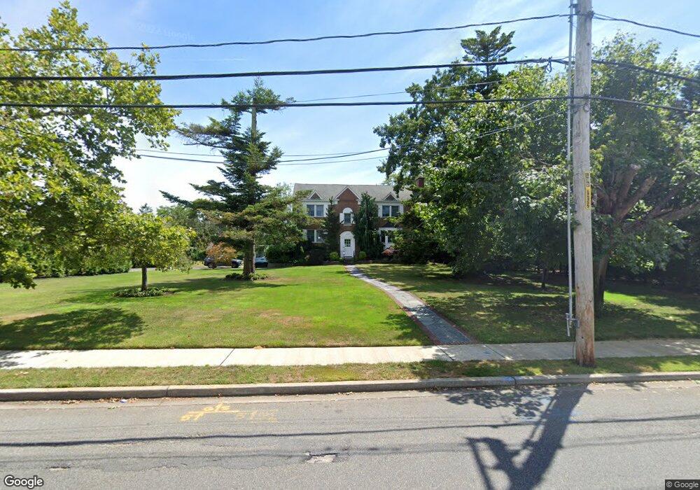
373 Kenridge Rd Lawrence, NY 11559
Estimated Value: $3,006,307 - $3,906,000
Studio
5
Baths
4,482
Sq Ft
$771/Sq Ft
Est. Value
About This Home
This home is located at 373 Kenridge Rd, Lawrence, NY 11559 and is currently estimated at $3,456,154, approximately $771 per square foot. 373 Kenridge Rd is a home located in Nassau County with nearby schools including Lawrence Elementary School, Lawrence Primary School, and Lawrence Middle School.
Ownership History
Date
Name
Owned For
Owner Type
Purchase Details
Closed on
Aug 24, 1999
Sold by
Baron Edna S
Bought by
Parnes Aaron and Parnes Sarah A
Current Estimated Value
Home Financials for this Owner
Home Financials are based on the most recent Mortgage that was taken out on this home.
Original Mortgage
$500,000
Interest Rate
7.53%
Mortgage Type
Purchase Money Mortgage
Create a Home Valuation Report for This Property
The Home Valuation Report is an in-depth analysis detailing your home's value as well as a comparison with similar homes in the area
Home Values in the Area
Average Home Value in this Area
Purchase History
| Date | Buyer | Sale Price | Title Company |
|---|---|---|---|
| Parnes Aaron | $720,000 | First American Title Ins Co | |
| Parnes Aaron | $720,000 | First American Title Ins Co | |
| Parnes Aaron | $720,000 | First American Title Ins Co | |
| Parnes Aaron | $720,000 | First American Title Ins Co |
Source: Public Records
Mortgage History
| Date | Status | Borrower | Loan Amount |
|---|---|---|---|
| Closed | Parnes Aaron | $500,000 |
Source: Public Records
Tax History
| Year | Tax Paid | Tax Assessment Tax Assessment Total Assessment is a certain percentage of the fair market value that is determined by local assessors to be the total taxable value of land and additions on the property. | Land | Improvement |
|---|---|---|---|---|
| 2025 | $22,081 | $1,548 | $745 | $803 |
| 2024 | $8,252 | $1,620 | $779 | $841 |
Source: Public Records
Map
Nearby Homes
- 74 Margaret Ave
- 180 Longwood Crossing
- 365 Broadway
- 345 Broadway
- 8 Stuyvesant Place
- 8 Sealy Dr
- 8 Ventana Ct
- 26 Carman Ave
- 285 Central Ave Unit D-7
- 285 Central Ave Unit B-4
- 285 Central Ave Unit D6
- 261 Central Ave Unit A-4
- 261 Central Ave Unit E4
- 233 Narragansett Ave
- 246 Briarwood Crossing
- 376 Central Ave Unit 3-V
- 260 Central Ave Unit 135
- 260 Central Ave Unit 430
- 292 Breezyway
- 386 Mulry Ln
- 371 Kenridge Rd
- 375 Kenridge Rd
- 370 Kenridge Rd
- 42 Bayberry Rd
- 46 Bayberry Rd
- 379 Kenridge Rd
- 360 Kenridge Rd
- 38 Bayberry Rd
- 380 Kenridge Rd
- 77 Muriel Ave
- 50 Bayberry Rd
- 96 Margaret Ave
- 34 Bayberry Rd
- 94 Muriel Ave
- 92 Margaret Ave
- 73 Muriel Ave
- 35 Bayberry Rd
- 55 Bayberry Rd
- 88 Margaret Ave
- 30 Bayberry Rd
Your Personal Tour Guide
Ask me questions while you tour the home.