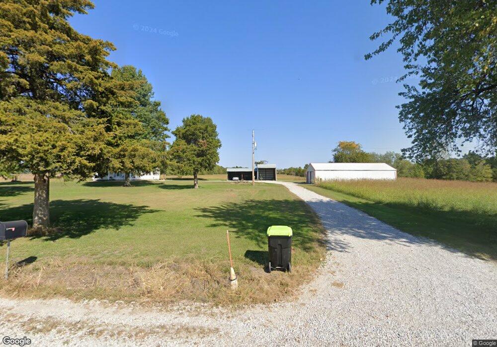
37300 E 203rd St Pleasant Hill, MO 64080
Estimated Value: $369,000 - $483,000
3
Beds
1
Bath
1,428
Sq Ft
$285/Sq Ft
Est. Value
About This Home
This home is located at 37300 E 203rd St, Pleasant Hill, MO 64080 and is currently estimated at $407,623, approximately $285 per square foot. 37300 E 203rd St is a home located in Cass County.
Ownership History
Date
Name
Owned For
Owner Type
Purchase Details
Closed on
Jun 28, 2006
Sold by
Kirkendall Michael G and Kirkendall Sandar R
Bought by
Barker Blake Douglas
Current Estimated Value
Home Financials for this Owner
Home Financials are based on the most recent Mortgage that was taken out on this home.
Original Mortgage
$83,980
Outstanding Balance
$49,664
Interest Rate
6.58%
Mortgage Type
Future Advance Clause Open End Mortgage
Estimated Equity
$357,959
Create a Home Valuation Report for This Property
The Home Valuation Report is an in-depth analysis detailing your home's value as well as a comparison with similar homes in the area
Home Values in the Area
Average Home Value in this Area
Purchase History
| Date | Buyer | Sale Price | Title Company |
|---|---|---|---|
| Barker Blake Douglas | -- | -- |
Source: Public Records
Mortgage History
| Date | Status | Borrower | Loan Amount |
|---|---|---|---|
| Open | Barker Blake Douglas | $83,980 |
Source: Public Records
Tax History Compared to Growth
Tax History
| Year | Tax Paid | Tax Assessment Tax Assessment Total Assessment is a certain percentage of the fair market value that is determined by local assessors to be the total taxable value of land and additions on the property. | Land | Improvement |
|---|---|---|---|---|
| 2024 | $1,103 | $15,980 | $2,410 | $13,570 |
| 2023 | $1,103 | $15,980 | $2,410 | $13,570 |
| 2022 | $986 | $14,120 | $2,410 | $11,710 |
| 2021 | $973 | $14,120 | $2,410 | $11,710 |
| 2020 | $868 | $12,920 | $2,410 | $10,510 |
| 2019 | $855 | $12,920 | $2,410 | $10,510 |
| 2018 | $773 | $11,570 | $2,120 | $9,450 |
| 2017 | $719 | $11,570 | $2,120 | $9,450 |
| 2016 | $719 | $10,740 | $2,120 | $8,620 |
| 2015 | $729 | $10,740 | $2,120 | $8,620 |
| 2014 | $729 | $10,700 | $2,080 | $8,620 |
| 2013 | -- | $10,700 | $2,080 | $8,620 |
Source: Public Records
Map
Nearby Homes
- 312 N East Hwy
- 0 E 215th St
- 115 SW 1991st Rd
- 33701 E State Route 58
- 0000 E 219th St
- 1936 SW 200th Rd
- 227th St
- 000 227th St -124 Acres
- 22920 S Staley Mound Rd
- Tbd South Pryor Rd
- 0000 S Pryor Rd
- TBD S Pryor Rd
- 30909 E 219th St
- 0 S Staley Mound Rd
- 105 W Arctic St
- 170 NW 1871st Rd
- 104 E Baltic St
- S Staley Mound Rd
- Lot 10 Snyder Rd
- 603 SW T Hwy
- 37412 E 203rd St
- 20211 S State Route Cc
- 20211 S State Route Cc
- 20211 S Highway Cc
- 20317 S Ervin Rd
- 36805 E 203rd St
- 20405 S State Route Cc
- 20324 S State Route Cc
- 37207 E 197th St
- 20501 S State Route Cc
- 19904 S State Route Cc
- 19904 S State Route Cc
- 20400 S State Route Cc
- 20603 S State Route Cc
- 37206 E 197th St
- 37304 E 197th St
- 304 W 197th St
- 20606 S State Route Cc
- 316 S 4th St
- 20719 S State Route Cc