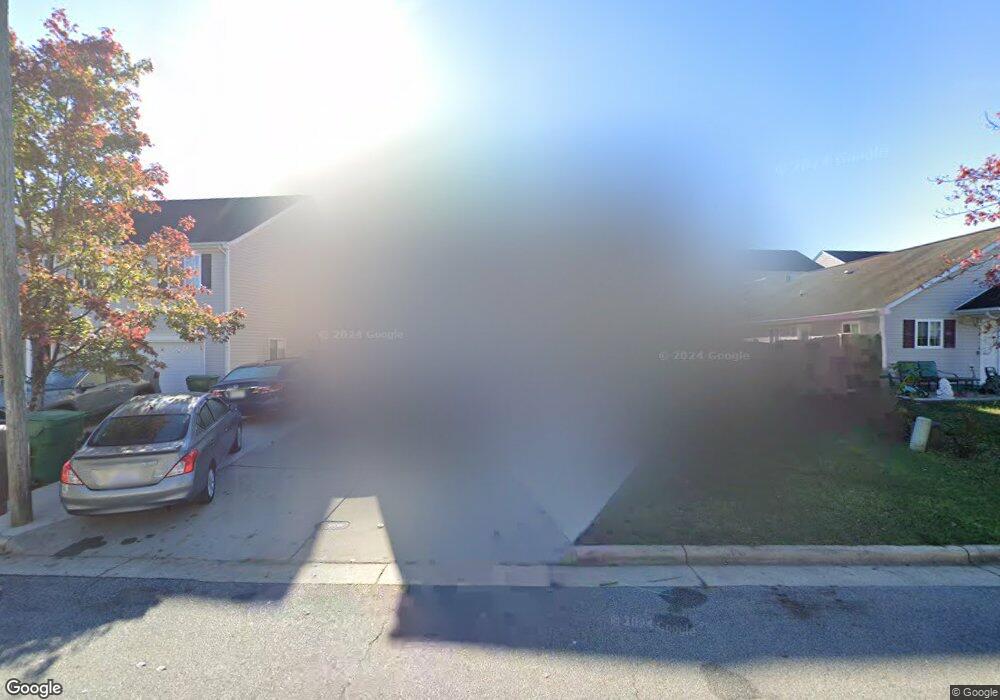
3732 Eskdale Dr High Point, NC 27260
Greater High Point NeighborhoodEstimated Value: $277,000 - $384,000
4
Beds
3
Baths
2,466
Sq Ft
$126/Sq Ft
Est. Value
About This Home
This home is located at 3732 Eskdale Dr, High Point, NC 27260 and is currently estimated at $311,488, approximately $126 per square foot. 3732 Eskdale Dr is a home located in Guilford County with nearby schools including Union Hill Elementary School, Jamestown Middle School, and Ragsdale High School.
Ownership History
Date
Name
Owned For
Owner Type
Purchase Details
Closed on
Apr 12, 2006
Sold by
Old South Home Co
Bought by
Javed Naseem
Current Estimated Value
Home Financials for this Owner
Home Financials are based on the most recent Mortgage that was taken out on this home.
Original Mortgage
$112,400
Outstanding Balance
$63,994
Interest Rate
6.2%
Mortgage Type
Fannie Mae Freddie Mac
Estimated Equity
$247,494
Create a Home Valuation Report for This Property
The Home Valuation Report is an in-depth analysis detailing your home's value as well as a comparison with similar homes in the area
Home Values in the Area
Average Home Value in this Area
Purchase History
| Date | Buyer | Sale Price | Title Company |
|---|---|---|---|
| Javed Naseem | $140,500 | None Available |
Source: Public Records
Mortgage History
| Date | Status | Borrower | Loan Amount |
|---|---|---|---|
| Open | Javed Naseem | $112,400 |
Source: Public Records
Tax History
| Year | Tax Paid | Tax Assessment Tax Assessment Total Assessment is a certain percentage of the fair market value that is determined by local assessors to be the total taxable value of land and additions on the property. | Land | Improvement |
|---|---|---|---|---|
| 2025 | $3,211 | $233,000 | $30,000 | $203,000 |
| 2024 | $3,211 | $233,000 | $30,000 | $203,000 |
| 2023 | $3,211 | $233,000 | $30,000 | $203,000 |
| 2022 | $3,141 | $233,000 | $30,000 | $203,000 |
| 2021 | $1,977 | $143,500 | $15,000 | $128,500 |
| 2020 | $1,977 | $143,500 | $15,000 | $128,500 |
| 2019 | $1,977 | $143,500 | $0 | $0 |
| 2018 | $1,968 | $143,500 | $0 | $0 |
| 2017 | $1,968 | $143,500 | $0 | $0 |
| 2016 | $1,787 | $127,400 | $0 | $0 |
| 2015 | $1,796 | $127,400 | $0 | $0 |
| 2014 | $1,827 | $127,400 | $0 | $0 |
Source: Public Records
Map
Nearby Homes
- 3335 Wiliton Way
- 1000 New Hampshire Dr
- 1067 Bridgend Dr
- 1111 New Hampshire Dr
- 3913 Colony Ridge Ct
- 966 Chatfield Dr
- 6701 Jewel Ave
- 976 Chatfield Dr
- 509 Valleybrook Dr
- 737 Hendrix St
- 735 Hendrix St
- 4034 Sherry Ct
- 4019 Sherry Ct
- 615 Hendrix St
- 3903 Sudley Point
- 841 Sage Hill Dr
- 627 Spring Garden Cir
- 600 Hendrix St
- 3304 Central Ave
- 930 & 928 R1 Marlboro St
- 3736 Eskdale Dr
- 3728 Eskdale Dr
- 3635 Densbury Dr
- 3724 Eskdale Dr
- 3740 Eskdale Dr
- 3639 Densbury Dr
- 3631 Densbury Dr
- 3643 Densbury Dr
- 3720 Eskdale Dr
- 3733 Eskdale Dr
- 3744 Eskdale Dr
- 3729 Eskdale Dr
- 3737 Eskdale Dr
- 3627 Densbury Dr
- 3725 Eskdale Dr
- 3741 Eskdale Dr
- 3721 Eskdale Dr
- 3716 Eskdale Dr
- 1687 Coryton Way
- 1683 Coryton Way
Your Personal Tour Guide
Ask me questions while you tour the home.