3732 Moose Cry Rd Auburn, IL 62615
Estimated Value: $284,000 - $438,634
4
Beds
3
Baths
3,271
Sq Ft
$113/Sq Ft
Est. Value
About This Home
This home is located at 3732 Moose Cry Rd, Auburn, IL 62615 and is currently estimated at $369,659, approximately $113 per square foot. 3732 Moose Cry Rd is a home located in Sangamon County with nearby schools including Auburn Elementary School, Auburn Middle School, and Auburn Junior High School.
Ownership History
Date
Name
Owned For
Owner Type
Purchase Details
Closed on
May 25, 2018
Sold by
Jones James R and Jones Jodie L
Bought by
Reynolds William A and Reynolds Kylee
Current Estimated Value
Home Financials for this Owner
Home Financials are based on the most recent Mortgage that was taken out on this home.
Original Mortgage
$245,471
Interest Rate
4.5%
Mortgage Type
FHA
Purchase Details
Closed on
May 18, 2004
Purchase Details
Closed on
Mar 18, 2003
Purchase Details
Closed on
Dec 12, 1994
Purchase Details
Closed on
Nov 18, 1994
Create a Home Valuation Report for This Property
The Home Valuation Report is an in-depth analysis detailing your home's value as well as a comparison with similar homes in the area
Purchase History
| Date | Buyer | Sale Price | Title Company |
|---|---|---|---|
| Reynolds William A | $250,000 | Premier Title | |
| -- | $174,000 | -- | |
| -- | -- | -- | |
| -- | $12,500 | -- | |
| -- | -- | -- |
Source: Public Records
Mortgage History
| Date | Status | Borrower | Loan Amount |
|---|---|---|---|
| Previous Owner | Reynolds William A | $245,471 |
Source: Public Records
Tax History
| Year | Tax Paid | Tax Assessment Tax Assessment Total Assessment is a certain percentage of the fair market value that is determined by local assessors to be the total taxable value of land and additions on the property. | Land | Improvement |
|---|---|---|---|---|
| 2024 | $6,439 | $121,106 | $10,254 | $110,852 |
| 2023 | $6,197 | $110,751 | $9,377 | $101,374 |
| 2022 | $5,782 | $104,858 | $8,878 | $95,980 |
| 2021 | $5,620 | $100,699 | $8,526 | $92,173 |
| 2020 | $5,619 | $100,348 | $8,496 | $91,852 |
| 2019 | $5,315 | $88,862 | $8,286 | $80,576 |
| 2018 | $4,264 | $77,026 | $8,115 | $68,911 |
| 2017 | $4,152 | $74,170 | $7,814 | $66,356 |
| 2016 | $4,098 | $73,706 | $7,765 | $65,941 |
| 2015 | $4,080 | $72,846 | $7,674 | $65,172 |
| 2014 | $4,084 | $73,978 | $7,793 | $66,185 |
| 2013 | $3,695 | $71,546 | $7,537 | $64,009 |
Source: Public Records
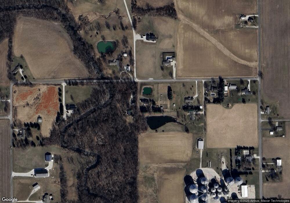
Map
Nearby Homes
- 410 E Washington St
- 3550 Hudson Rd
- 13560 Gilmore Rd
- 111 W Jefferson St
- 608 W Van Buren St Unit 1
- 442 S 6th St Unit 1
- 5938 Snell Rd
- 9 Edgewood Dr Unit 1
- 201 S 3rd St Unit 1
- 809 S 1st St
- 521 S Lincoln St
- 5 Churchill Dr Unit 1
- 26 Circle
- 0 Old Indian Trail
- 412 Manor Hill Dr
- 212 Gloucester Ct
- 617 E Chestnut St Unit 1
- 607 E Mulberry St Unit 1
- 204 Grindstone Rd
- 405 Ramblewood Rd
- 3752 Moose Cry Rd Unit 1
- 3755 Moose Cry Rd Unit 1
- 3620 Moose Cry Rd
- 3697 Moose Cry Rd
- 3773 Moose Cry Rd Unit 1
- 3592 Moose Cry Rd Unit 1
- 3880 Moose Cry Rd
- 14230 Dixon Rd
- 3745 Moose Cry Rd
- 0 Bab Rd
- 14157 Bab Rd Unit 1
- 14068 Bab Rd
- 14164 Dixon Rd
- 14250 Dixon Rd
- 14172 Bab Rd Unit 1
- 14301 Bab Rd
- 14047 Dixon Rd Unit 1
- 3887 Circle Dr Unit 1
- 14280 Bab Rd
- 3800 Circle Dr
Your Personal Tour Guide
Ask me questions while you tour the home.