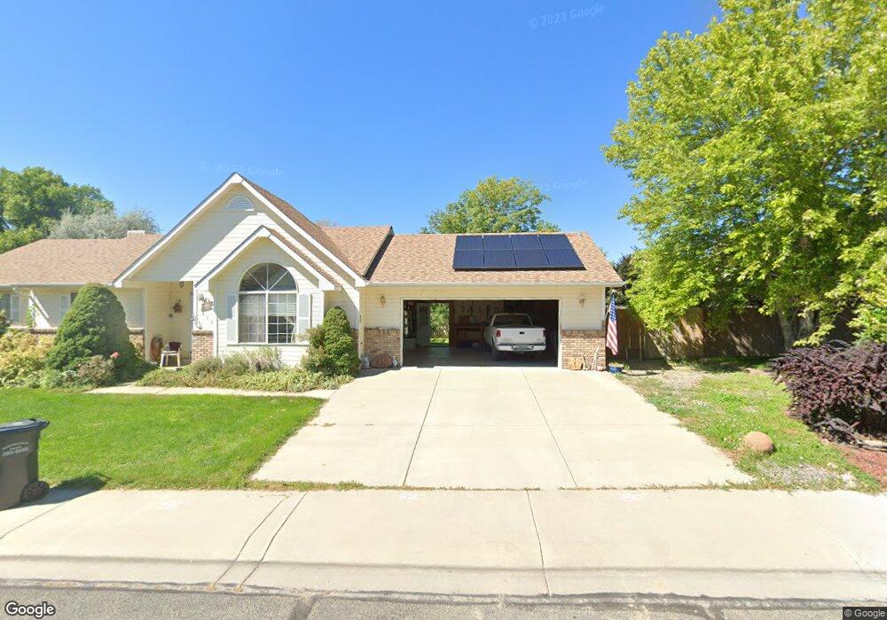
3733 1/2 G Rd Palisade, CO 81526
Estimated Value: $341,000 - $810,000
3
Beds
2
Baths
2,195
Sq Ft
$253/Sq Ft
Est. Value
About This Home
This home is located at 3733 1/2 G Rd, Palisade, CO 81526 and is currently estimated at $554,995, approximately $252 per square foot. 3733 1/2 G Rd is a home located in Mesa County with nearby schools including Taylor Elementary School, Mount Garfield Middle School, and Palisade High School.
Ownership History
Date
Name
Owned For
Owner Type
Purchase Details
Closed on
Feb 3, 2014
Sold by
Ludlam John R and Ludlam Doris Kathryn
Bought by
J & K Ludlam Family Trust
Current Estimated Value
Purchase Details
Closed on
Mar 8, 1994
Sold by
Town Of Palisade
Bought by
Ludlam J & K Family Trust
Purchase Details
Closed on
Oct 19, 1993
Sold by
Gilder Donna J and Gilder Darla K
Bought by
Gilder Donald F
Purchase Details
Closed on
May 14, 1993
Sold by
Schlax Richard C
Bought by
Ludlam J & K Family Trust
Create a Home Valuation Report for This Property
The Home Valuation Report is an in-depth analysis detailing your home's value as well as a comparison with similar homes in the area
Home Values in the Area
Average Home Value in this Area
Purchase History
| Date | Buyer | Sale Price | Title Company |
|---|---|---|---|
| J & K Ludlam Family Trust | -- | None Available | |
| Ludlam J & K Family Trust | -- | -- | |
| Gilder Donald F | -- | None Listed On Document | |
| Ludlam J & K Family Trust | $119,000 | -- |
Source: Public Records
Tax History Compared to Growth
Tax History
| Year | Tax Paid | Tax Assessment Tax Assessment Total Assessment is a certain percentage of the fair market value that is determined by local assessors to be the total taxable value of land and additions on the property. | Land | Improvement |
|---|---|---|---|---|
| 2024 | $602 | $11,110 | $960 | $10,150 |
| 2023 | $602 | $11,110 | $960 | $10,150 |
| 2022 | $790 | $15,190 | $750 | $14,440 |
| 2021 | $799 | $15,680 | $820 | $14,860 |
| 2020 | $687 | $13,900 | $660 | $13,240 |
| 2019 | $660 | $13,900 | $660 | $13,240 |
| 2018 | $951 | $10,380 | $870 | $9,510 |
| 2017 | $1,039 | $10,380 | $870 | $9,510 |
| 2016 | $1,039 | $13,090 | $700 | $12,390 |
| 2015 | $1,050 | $13,090 | $700 | $12,390 |
| 2014 | $805 | $9,810 | $500 | $9,310 |
Source: Public Records
Map
Nearby Homes
- 819 Elberta Ave
- 846 Cabernet Dr
- 872 Montclair Dr
- 828 Logan Ct
- 829 Logan St
- 845 Logan St
- 745 Fairhaven Rd
- 822 Cabernet Ct
- 679 Brentwood Dr Unit 2
- 537 Crawford Ln
- 416 W 5th St
- 602 Elberta Ave
- 548 Crawford Ln
- 532 Crawford Ln
- 512 Crawford Ln
- 3781 Granada Dr Unit 4
- 3781 Granada Dr Unit 3
- 139 W 6th St
- 101 W 8th St
- 3669 G Rd
- 812 Elberta Dr
- 810 Elberta Dr
- 814 Elberta Dr
- 119 N Bowerstreet
- 811 Elberta Dr
- 813 Elberta Ave
- 813 Elberta Dr
- 808 Elberta Dr
- 0 Elberta Dr Unit 613469
- 0 Elberta Dr Unit 632912
- 0 Elberta Ave Unit 637315
- 809 Elberta Dr
- 816 Elberta Dr
- 815 Elberta Dr
- 846 Vineyard Ave
- 856 Vineyard Ave
- 838 Vineyard Ave
- 807 Elberta Dr
- 806 Elberta Ave
- 806 Elberta Dr