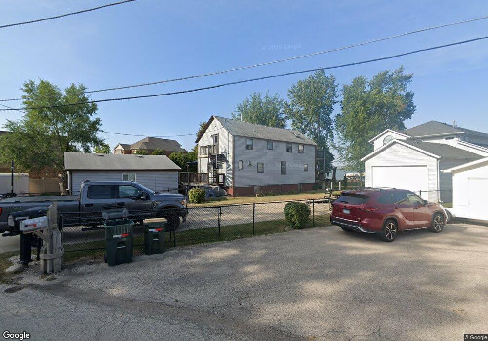
37334 N Stanton Point Rd Ingleside, IL 60041
Estimated Value: $303,000 - $1,166,424
Studio
--
Bath
--
Sq Ft
10,454
Sq Ft Lot
About This Home
This home is located at 37334 N Stanton Point Rd, Ingleside, IL 60041 and is currently estimated at $801,356. 37334 N Stanton Point Rd is a home located in Lake County with nearby schools including Gavin Central Elementary School, Gavin South Middle School, and Grant Community High School.
Ownership History
Date
Name
Owned For
Owner Type
Purchase Details
Closed on
Oct 10, 2019
Sold by
Ransford Richard
Bought by
Ransford Richard and Ransford Maria
Current Estimated Value
Home Financials for this Owner
Home Financials are based on the most recent Mortgage that was taken out on this home.
Original Mortgage
$480,000
Outstanding Balance
$315,923
Interest Rate
3%
Mortgage Type
New Conventional
Estimated Equity
$485,433
Purchase Details
Closed on
Oct 8, 2019
Sold by
Kor Var Llc
Bought by
Ransford Richard A
Home Financials for this Owner
Home Financials are based on the most recent Mortgage that was taken out on this home.
Original Mortgage
$480,000
Outstanding Balance
$315,923
Interest Rate
3%
Mortgage Type
New Conventional
Estimated Equity
$485,433
Purchase Details
Closed on
Jun 5, 2007
Sold by
Stanton Point Road Partnership
Bought by
Kor Var Llc
Create a Home Valuation Report for This Property
The Home Valuation Report is an in-depth analysis detailing your home's value as well as a comparison with similar homes in the area
Home Values in the Area
Average Home Value in this Area
Purchase History
| Date | Buyer | Sale Price | Title Company |
|---|---|---|---|
| Ransford Richard | -- | Attorney | |
| Ransford Richard A | $725,000 | Attorneys Ttl Guaranty Fund | |
| Kor Var Llc | -- | Attorneys Title Guaranty Fun |
Source: Public Records
Mortgage History
| Date | Status | Borrower | Loan Amount |
|---|---|---|---|
| Open | Ransford Richard A | $480,000 |
Source: Public Records
Tax History
| Year | Tax Paid | Tax Assessment Tax Assessment Total Assessment is a certain percentage of the fair market value that is determined by local assessors to be the total taxable value of land and additions on the property. | Land | Improvement |
|---|---|---|---|---|
| 2024 | $2,413 | $32,992 | $32,992 | -- |
| 2023 | $830 | $31,081 | $31,081 | -- |
| 2022 | $830 | $10,457 | $10,457 | $0 |
| 2021 | $803 | $9,857 | $9,857 | $0 |
| 2020 | $809 | $9,716 | $9,716 | $0 |
| 2019 | $782 | $9,317 | $9,317 | $0 |
| 2018 | $90 | $1,041 | $1,041 | $0 |
| 2017 | $86 | $962 | $962 | $0 |
| 2016 | $91 | $880 | $880 | $0 |
| 2015 | $96 | $821 | $821 | $0 |
| 2014 | $88 | $784 | $784 | $0 |
| 2012 | $75 | $817 | $817 | $0 |
Source: Public Records
Map
Nearby Homes
- 37322 N Stanton Point Rd
- 37227 N Hillside Dr
- 25658 W Orchard Ave
- 37532 N Amber Way
- 26101 W Roseland Ct
- 37471 N Il Route 59
- 25283 W Timber Ln
- 97 Mark Ln
- 91 Lippincott Rd
- 38528 N Drexel Blvd
- 25164 W Sunset Ln
- 36745 N Westmoor Ave
- 38 Lippincott Rd
- 49 N Lake Ave
- 50 N Lake Ave
- 69 Washington St
- 26083 W Calhoun Ave
- 26089 W Calhoun Ave
- 36440 N Westmoor Ave
- 235 E Grand Ave
- 37338 N Stanton Point Rd
- 37330 N Stanton Point Rd
- 37326 N Stanton Point Rd
- 37344 N Stanton Point Rd
- 37346 N Stanton Point Rd
- 37354 N Stanton Point Rd
- 37318 N Stanton Point Rd
- 26089 W Randich Rd
- 26060 W Randich Rd
- 26073 W Randich Rd
- 26081 W Randich Rd
- 37304 N Stanton Point Rd
- 26065 W Randich Rd
- 37292 N Stanton Point Rd
- 26053 W Randich Rd
- 37290 N Stanton Point Rd
- 26045 W Randich Rd
- 37278 N Stanton Point Rd
- 26079 W Randich Rd
- 37274 N Stanton Point Rd
Your Personal Tour Guide
Ask me questions while you tour the home.