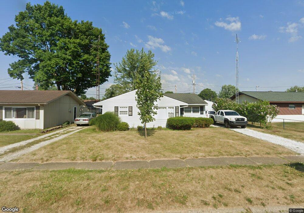
3735 Roosevelt Ave NE Canton, OH 44705
Plain Township NeighborhoodEstimated Value: $130,577 - $148,000
3
Beds
1
Bath
1,056
Sq Ft
$132/Sq Ft
Est. Value
About This Home
This home is located at 3735 Roosevelt Ave NE, Canton, OH 44705 and is currently estimated at $139,644, approximately $132 per square foot. 3735 Roosevelt Ave NE is a home located in Stark County with nearby schools including Ransom H. Barr Elementary School, Glenwood Intermediate School, and GlenOak High School.
Ownership History
Date
Name
Owned For
Owner Type
Purchase Details
Closed on
Jul 6, 2010
Sold by
Hultman Arthur A and Hultman Nancy E
Bought by
Hultman Arthur A and Hultman Nancy E
Current Estimated Value
Purchase Details
Closed on
May 18, 2009
Sold by
Citifinancial Inc
Bought by
Hultman Arthur A
Purchase Details
Closed on
Apr 3, 2009
Sold by
Stoughton Henry P
Bought by
Citifinancial Inc
Create a Home Valuation Report for This Property
The Home Valuation Report is an in-depth analysis detailing your home's value as well as a comparison with similar homes in the area
Home Values in the Area
Average Home Value in this Area
Purchase History
| Date | Buyer | Sale Price | Title Company |
|---|---|---|---|
| Hultman Arthur A | -- | Attorney | |
| Hultman Arthur A | $26,000 | Chicago Title | |
| Citifinancial Inc | $38,000 | None Available |
Source: Public Records
Tax History Compared to Growth
Tax History
| Year | Tax Paid | Tax Assessment Tax Assessment Total Assessment is a certain percentage of the fair market value that is determined by local assessors to be the total taxable value of land and additions on the property. | Land | Improvement |
|---|---|---|---|---|
| 2025 | -- | $33,920 | $9,210 | $24,710 |
| 2024 | -- | $33,920 | $9,210 | $24,710 |
| 2023 | $1,072 | $22,480 | $5,570 | $16,910 |
| 2022 | $1,080 | $22,480 | $5,570 | $16,910 |
| 2021 | $1,085 | $22,480 | $5,570 | $16,910 |
| 2020 | $1,030 | $19,400 | $4,800 | $14,600 |
| 2019 | $1,016 | $19,400 | $4,800 | $14,600 |
| 2018 | $1,011 | $19,400 | $4,800 | $14,600 |
| 2017 | $1,011 | $17,820 | $4,130 | $13,690 |
| 2016 | $861 | $15,120 | $4,130 | $10,990 |
| 2015 | $833 | $15,120 | $4,130 | $10,990 |
| 2014 | $878 | $15,580 | $4,270 | $11,310 |
| 2013 | $431 | $15,580 | $4,270 | $11,310 |
Source: Public Records
Map
Nearby Homes
- 2333 Ivy Way St NE
- 1912 40th St NE
- 4015 Pelham St NE Unit 3A
- 1624 34th St NE
- 3022 Taft Ave NE
- 2538 Ironstone St NE
- 3305 Regent Ave NE
- 2823 Columbus Rd NE
- 4402 Dalbury Ave NE Unit 9E
- 2806 33rd St NE
- 1227 33rd St NE
- 2216 49th St NE
- 3321 Martindale Rd NE
- 1331 Spangler St NE
- 1638 Warrick Place NE
- 1233 29th St NE
- 815 44th St NE
- 2419 Bur Oak St NE
- 000 Rowland Ave NE
- 2640 Martha Ave NE
- 3729 Roosevelt Ave NE
- 3741 Roosevelt Ave NE
- 3734 Middlebranch Ave NE
- 3803 Roosevelt Ave NE
- 3740 Middlebranch Ave NE
- 3728 Middlebranch Ave NE
- 3721 Roosevelt Ave NE
- 2111 Cathy Dr NE
- 2204 38th St NE
- 3746 Middlebranch Ave NE
- 3726 Roosevelt Ave NE
- 3720 Middlebranch Ave NE
- 3804 Roosevelt Ave NE
- 2205 Cathy Dr NE
- 3802 Middlebranch Ave NE
- 2210 38th St NE
- 3813 Roosevelt Ave NE
- 2211 38th St NE
- 2211 Cathy Dr NE
- 3727 Middlebranch Ave NE