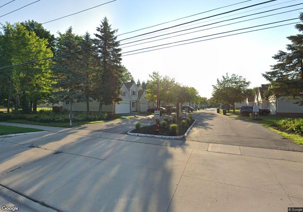
37366 Amhurst Dr Unit 18 Westland, MI 48185
Estimated Value: $256,678 - $301,000
2
Beds
2
Baths
1,595
Sq Ft
$171/Sq Ft
Est. Value
About This Home
This home is located at 37366 Amhurst Dr Unit 18, Westland, MI 48185 and is currently estimated at $272,170, approximately $170 per square foot. 37366 Amhurst Dr Unit 18 is a home located in Wayne County with nearby schools including P.D. Graham Elementary School, Marshall Upper Elementary School, and Adlai Stevenson Middle School.
Ownership History
Date
Name
Owned For
Owner Type
Purchase Details
Closed on
Jul 7, 2020
Sold by
Smith Renata F and Conley Fenata F
Bought by
First Key Legacy Llc
Current Estimated Value
Purchase Details
Closed on
Feb 28, 2007
Sold by
Moton Allen E
Bought by
Conley Renata F
Purchase Details
Closed on
Mar 20, 2002
Sold by
Lafferty Kevin D
Bought by
Moton Allen E
Create a Home Valuation Report for This Property
The Home Valuation Report is an in-depth analysis detailing your home's value as well as a comparison with similar homes in the area
Home Values in the Area
Average Home Value in this Area
Purchase History
| Date | Buyer | Sale Price | Title Company |
|---|---|---|---|
| First Key Legacy Llc | -- | None Available | |
| Conley Renata F | $164,900 | Fidelity National Title | |
| Moton Allen E | $180,000 | -- |
Source: Public Records
Tax History Compared to Growth
Tax History
| Year | Tax Paid | Tax Assessment Tax Assessment Total Assessment is a certain percentage of the fair market value that is determined by local assessors to be the total taxable value of land and additions on the property. | Land | Improvement |
|---|---|---|---|---|
| 2025 | $3,034 | $125,000 | $0 | $0 |
| 2024 | $3,034 | $113,900 | $0 | $0 |
| 2023 | $2,895 | $103,900 | $0 | $0 |
| 2022 | $3,128 | $88,900 | $0 | $0 |
| 2021 | $5,653 | $85,300 | $0 | $0 |
| 2020 | $2,221 | $81,600 | $0 | $0 |
| 2019 | $2,141 | $78,000 | $0 | $0 |
| 2018 | $1,670 | $72,800 | $0 | $0 |
| 2017 | $682 | $66,400 | $0 | $0 |
| 2016 | $2,078 | $63,500 | $0 | $0 |
| 2015 | $4,133 | $55,620 | $0 | $0 |
| 2013 | $4,004 | $42,000 | $0 | $0 |
| 2012 | $2,046 | $44,450 | $0 | $0 |
Source: Public Records
Map
Nearby Homes
- 37186 Amhurst Dr Unit 5
- 6013 N Newburgh Rd
- 6026 Wilmer St
- 6541 Pembrook Dr
- 6145 N Dowling St
- 5889 N Globe St
- 5834 Morley St
- 0 Dowling Ave
- 5692 N Globe St
- 38201 Carolon Blvd Unit 17B
- 35863 Hunter Ave Unit 34
- 38247 Carolon Blvd Unit 12C
- 38066 Sherwood St
- 38030 Greenwood St
- 2260 N Hix Rd Unit 1C
- 38343 Carolon Blvd
- 38302 Warner Farms Dr Unit 24
- 35754 Castlewood Ct
- 38074 Hixford Place
- 1750 N Hix Rd
- 37354 Amhurst Dr
- 37378 Amhurst Dr Unit 19
- 37258 Amhurst Dr Unit 10
- 37258 Amhurst Dr
- 37365 Amhurst Dr
- 37353 Amhurst Dr
- 37257 Amhurst Dr
- 37341 Amhurst Dr
- 37341 Amhurst Dr Unit 22
- 0 Amhurst Dr
- 37305 Amhurst Dr Unit 24
- 37329 Amhurst Dr
- 37294 Amhurst Dr
- 37330 Amhurst Dr
- 37198 Amhurst Dr Unit Bldg-Unit
- 37198 Amhurst Dr
- 37281 Amhurst Dr Unit 26
- 37282 Amhurst Dr
- 37269 Amhurst Dr
- 37270 Amhurst Dr