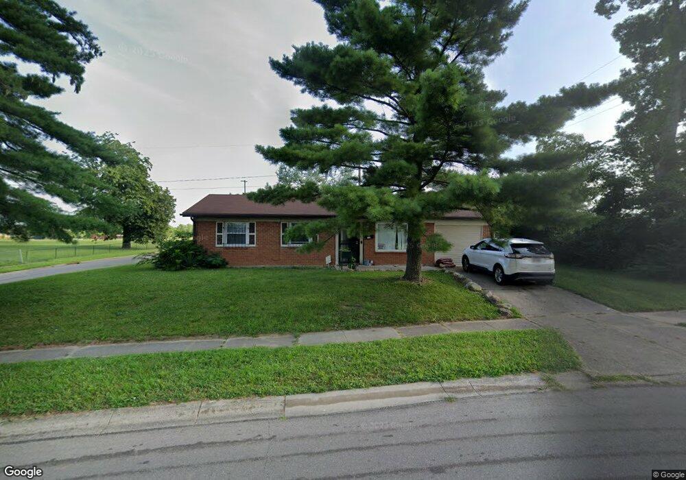
3737 Lori Sue Ave Dayton, OH 45406
Wesleyan Hill NeighborhoodEstimated Value: $61,000 - $140,000
3
Beds
1
Bath
1,225
Sq Ft
$84/Sq Ft
Est. Value
About This Home
This home is located at 3737 Lori Sue Ave, Dayton, OH 45406 and is currently estimated at $103,323, approximately $84 per square foot. 3737 Lori Sue Ave is a home located in Montgomery County with nearby schools including Valerie Elementary School, Imagine Klepinger Road Community School, and The Dayton School.
Ownership History
Date
Name
Owned For
Owner Type
Purchase Details
Closed on
Nov 1, 2024
Sold by
Montgomery County
Bought by
Baranes Investments Llc
Current Estimated Value
Purchase Details
Closed on
Dec 28, 2004
Sold by
Banks Carolyn
Bought by
Holland Lakesha
Purchase Details
Closed on
Jun 17, 2004
Sold by
Estate Of Debra A Dukes
Bought by
Banks Carolyn and Lakesha Holland & James Dukes V Trust
Create a Home Valuation Report for This Property
The Home Valuation Report is an in-depth analysis detailing your home's value as well as a comparison with similar homes in the area
Home Values in the Area
Average Home Value in this Area
Purchase History
| Date | Buyer | Sale Price | Title Company |
|---|---|---|---|
| Baranes Investments Llc | $53,800 | None Listed On Document | |
| Holland Lakesha | -- | None Available | |
| Banks Carolyn | -- | -- |
Source: Public Records
Tax History Compared to Growth
Tax History
| Year | Tax Paid | Tax Assessment Tax Assessment Total Assessment is a certain percentage of the fair market value that is determined by local assessors to be the total taxable value of land and additions on the property. | Land | Improvement |
|---|---|---|---|---|
| 2024 | $411 | $16,160 | $3,590 | $12,570 |
| 2023 | $411 | $16,160 | $3,590 | $12,570 |
| 2022 | $518 | $15,650 | $3,480 | $12,170 |
| 2021 | $515 | $15,650 | $3,480 | $12,170 |
| 2020 | $514 | $15,650 | $3,480 | $12,170 |
| 2019 | $451 | $13,970 | $3,480 | $10,490 |
| 2018 | $1,132 | $13,970 | $3,480 | $10,490 |
| 2017 | $1,123 | $13,970 | $3,480 | $10,490 |
| 2016 | $1,179 | $13,970 | $3,480 | $10,490 |
| 2015 | $1,116 | $13,970 | $3,480 | $10,490 |
| 2014 | $1,116 | $13,970 | $3,480 | $10,490 |
| 2012 | -- | $15,910 | $4,400 | $11,510 |
Source: Public Records
Map
Nearby Homes
- 1579 Sundale Ave
- 3908 Necco Ave
- 1627 Harold Dr Unit 1621
- 3738 Kings Hwy
- 3740 Kings Hwy
- 3637 Stanford Place Unit 3631
- 3644 Karwin Dr Unit 3638
- 1816 Wesleyan Rd
- 1641 Kipling Dr
- 4412 Queens Ave
- 2201 N Gettysburg Ave
- 4076 Prescott Ave
- 3231 Harvard Blvd
- 1906 Kensington Dr
- 1910 Kensington Dr
- 1954 Kensington Dr
- 3748 Saint James Ave
- 1716 Parkhill Dr
- 4445 Prescott Ave
- 3593 Saint James Ave
- 3738 Lori Sue Ave
- 1601 Sundale Ave
- 1574 Sundale Ave
- 3809 Lori Sue Ave
- 1570 Sundale Ave
- 3815 Lori Sue Ave
- 1571 Sundale Ave
- 1562 Sundale Ave
- 3821 Lori Sue Ave
- 1565 Sundale Ave
- 3816 Lori Sue Ave
- 1556 Sundale Ave
- 3827 Lori Sue Ave
- 3820 Lori Sue Ave
- 3835 Lori Sue Ave
- 3826 Lori Sue Ave
- 1548 Sundale Ave
- 1551 Sundale Ave
- 3625 Lori Sue Ave
- 3810 Avis Ct