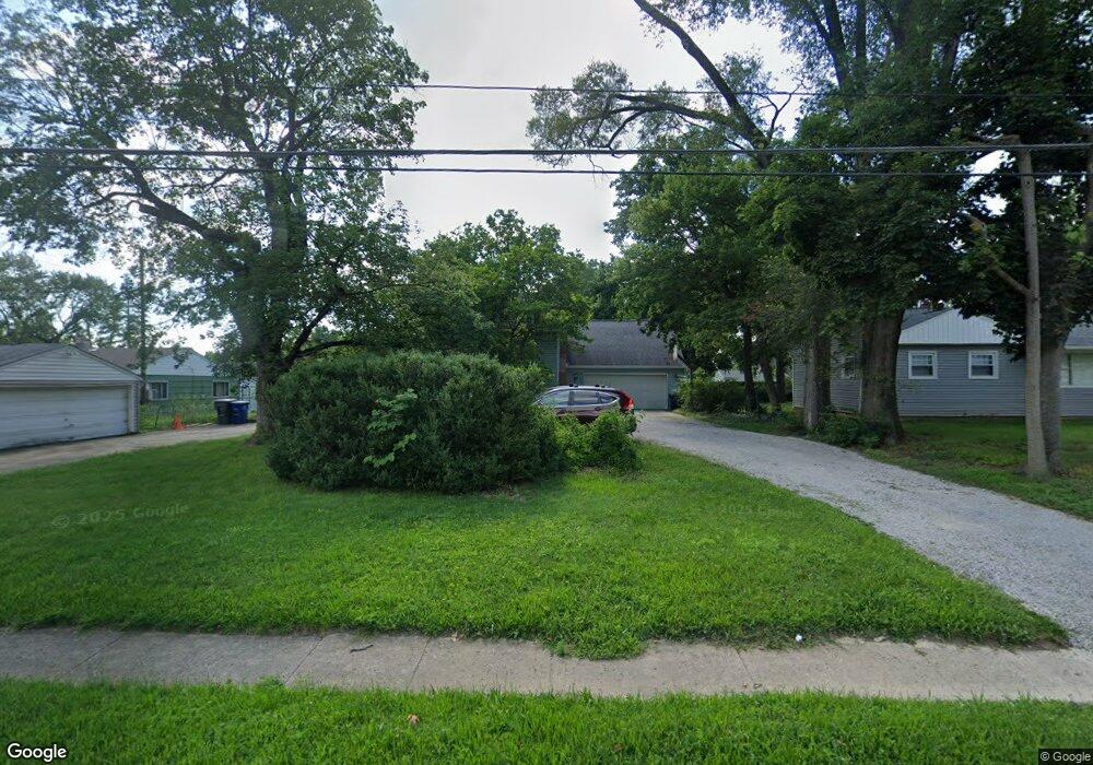
3737 Maize Rd Columbus, OH 43224
North Linden NeighborhoodEstimated Value: $301,000 - $377,000
5
Beds
1
Bath
2,260
Sq Ft
$150/Sq Ft
Est. Value
About This Home
This home is located at 3737 Maize Rd, Columbus, OH 43224 and is currently estimated at $338,420, approximately $149 per square foot. 3737 Maize Rd is a home located in Franklin County with nearby schools including Maize Road Elementary School, Medina Middle School, and Mifflin High School.
Ownership History
Date
Name
Owned For
Owner Type
Purchase Details
Closed on
Jun 18, 1999
Sold by
Ann Allen Michael Lee Patricia
Bought by
Lesher Robert Alan and Cannon Stephanie Lynn
Current Estimated Value
Home Financials for this Owner
Home Financials are based on the most recent Mortgage that was taken out on this home.
Original Mortgage
$91,000
Interest Rate
7.29%
Purchase Details
Closed on
May 4, 1995
Sold by
Rogers Donna M
Bought by
Allen Michael Lee and Allen Patricia A
Home Financials for this Owner
Home Financials are based on the most recent Mortgage that was taken out on this home.
Original Mortgage
$97,850
Interest Rate
8.43%
Mortgage Type
VA
Purchase Details
Closed on
Jul 10, 1991
Create a Home Valuation Report for This Property
The Home Valuation Report is an in-depth analysis detailing your home's value as well as a comparison with similar homes in the area
Home Values in the Area
Average Home Value in this Area
Purchase History
| Date | Buyer | Sale Price | Title Company |
|---|---|---|---|
| Lesher Robert Alan | $115,000 | Title First Agency Inc | |
| Allen Michael Lee | $95,000 | -- | |
| -- | -- | -- |
Source: Public Records
Mortgage History
| Date | Status | Borrower | Loan Amount |
|---|---|---|---|
| Previous Owner | Lesher Robert Alan | $91,000 | |
| Previous Owner | Allen Michael Lee | $97,850 |
Source: Public Records
Tax History Compared to Growth
Tax History
| Year | Tax Paid | Tax Assessment Tax Assessment Total Assessment is a certain percentage of the fair market value that is determined by local assessors to be the total taxable value of land and additions on the property. | Land | Improvement |
|---|---|---|---|---|
| 2024 | $4,541 | $101,190 | $16,910 | $84,280 |
| 2023 | $4,483 | $101,185 | $16,905 | $84,280 |
| 2022 | $3,738 | $72,070 | $9,870 | $62,200 |
| 2021 | $3,745 | $72,070 | $9,870 | $62,200 |
| 2020 | $3,749 | $72,070 | $9,870 | $62,200 |
| 2019 | $3,499 | $57,680 | $7,910 | $49,770 |
| 2018 | $3,008 | $57,680 | $7,910 | $49,770 |
| 2017 | $3,497 | $57,680 | $7,910 | $49,770 |
| 2016 | $2,780 | $41,970 | $5,780 | $36,190 |
| 2015 | $2,524 | $41,970 | $5,780 | $36,190 |
| 2014 | $2,530 | $41,970 | $5,780 | $36,190 |
| 2013 | $1,313 | $44,170 | $6,090 | $38,080 |
Source: Public Records
Map
Nearby Homes
- 991 Hidden Acres Ct Unit 991
- 924 Northridge Rd
- 1090 Pauline Ave
- 958 Janet Dr
- 886 Carolyn Ave
- 780 Moon Rd
- 3546 Beulah Rd
- 3468 Kimberly Ave Unit 470
- 1279 Carolyn Ave
- 4000 Indianola Ave
- 1507 Elmore Ave
- 1130 Carbone Dr
- 3401 Walmar Dr
- 3352 Karl Rd
- 3216 Howey Rd
- 3268 McGuffey Rd
- 541 Northridge Rd
- 3749 Ganson Dr
- 3491 Ontario St
- 3471 Ontario St
- 998 Northridge Rd
- 3723 Maize Rd
- 992 Northridge Rd
- 986 Northridge Rd
- 997 Blenheim Rd
- 3753 Maize Rd
- 991 Blenheim Rd
- 980 Northridge Rd
- 985 Blenheim Rd
- 3709 Maize Rd
- 974 Northridge Rd
- 3742 Maize Rd
- 3705 Maize Rd
- 3769 Maize Rd
- 968 Northridge Rd
- 3750 Maize Rd
- 1000 Blenheim Rd
- 973 Blenheim Rd
- 981 Northridge Rd
- 994 Blenheim Rd