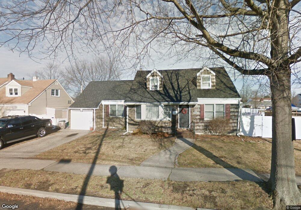
3739 Niami St Seaford, NY 11783
Estimated Value: $629,000 - $848,598
4
Beds
2
Baths
1,912
Sq Ft
$386/Sq Ft
Est. Value
About This Home
This home is located at 3739 Niami St, Seaford, NY 11783 and is currently estimated at $738,799, approximately $386 per square foot. 3739 Niami St is a home located in Nassau County with nearby schools including Seaford Middle School, Seaford Senior High School, and St. William the Abbot School.
Ownership History
Date
Name
Owned For
Owner Type
Purchase Details
Closed on
Jan 31, 2024
Sold by
Schiavone Sherril and Sullivan Robert
Bought by
3739 Niami Llc
Current Estimated Value
Home Financials for this Owner
Home Financials are based on the most recent Mortgage that was taken out on this home.
Original Mortgage
$441,000
Interest Rate
6.63%
Mortgage Type
Construction
Purchase Details
Closed on
Jan 21, 2004
Sold by
Sullivan Roger
Bought by
Schiavone Charles
Create a Home Valuation Report for This Property
The Home Valuation Report is an in-depth analysis detailing your home's value as well as a comparison with similar homes in the area
Home Values in the Area
Average Home Value in this Area
Purchase History
| Date | Buyer | Sale Price | Title Company |
|---|---|---|---|
| 3739 Niami Llc | $430,000 | None Available | |
| 3739 Niami Llc | $430,000 | None Available | |
| Schiavone Charles | $522,000 | -- | |
| Schiavone Charles | $522,000 | -- |
Source: Public Records
Mortgage History
| Date | Status | Borrower | Loan Amount |
|---|---|---|---|
| Previous Owner | 3739 Niami Llc | $441,000 |
Source: Public Records
Tax History Compared to Growth
Tax History
| Year | Tax Paid | Tax Assessment Tax Assessment Total Assessment is a certain percentage of the fair market value that is determined by local assessors to be the total taxable value of land and additions on the property. | Land | Improvement |
|---|---|---|---|---|
| 2025 | $15,681 | $525 | $224 | $301 |
| 2024 | $4,063 | $525 | $224 | $301 |
| 2023 | $15,050 | $525 | $224 | $301 |
| 2022 | $15,050 | $525 | $224 | $301 |
| 2021 | $20,720 | $515 | $220 | $295 |
| 2020 | $20,287 | $801 | $729 | $72 |
| 2019 | $14,676 | $801 | $729 | $72 |
| 2018 | $13,927 | $801 | $0 | $0 |
| 2017 | $8,929 | $801 | $800 | $1 |
| 2016 | $12,570 | $801 | $800 | $1 |
| 2015 | $3,381 | $801 | $729 | $72 |
| 2014 | $3,381 | $801 | $729 | $72 |
| 2013 | $3,171 | $801 | $729 | $72 |
Source: Public Records
Map
Nearby Homes
- 2370 Narraganset Ave
- 0 Island Place Unit 3107575
- 3719 Terrapin Place
- 2437 Archer St
- 3612 Ladonia St
- 3608 Tonopah St
- 3875 South St
- 2296 Hampton Ave
- 2327 Mattituck Ave
- 3563 Wadena St
- 3558 Roanoke St
- 2573 Harvard Ln
- 2601 Ocean Ave
- 2656 Seminole Ave
- 3728 E End
- 3937 John Ln
- 2701 S Seamans Neck Rd
- 2655 Ocean Ave
- 4072 Darby Ln
- 3570 Plover Place