374 Benny Benson Dr Kodiak, AK 99615
Estimated Value: $477,000 - $522,000
--
Bed
--
Bath
2,186
Sq Ft
$231/Sq Ft
Est. Value
About This Home
This home is located at 374 Benny Benson Dr, Kodiak, AK 99615 and is currently estimated at $504,540, approximately $230 per square foot. 374 Benny Benson Dr is a home with nearby schools including St. Mary's School and Kodiak Christian School.
Ownership History
Date
Name
Owned For
Owner Type
Purchase Details
Closed on
Jan 31, 2008
Sold by
Harvey Lola
Bought by
Harvey Charles S and Harvey Mary Ann
Current Estimated Value
Purchase Details
Closed on
Jul 12, 2007
Sold by
Magnusen Robert H
Bought by
Harvey Lola
Purchase Details
Closed on
Mar 26, 2003
Sold by
Magnusen Christian P and Estate Of George W Magnusen
Bought by
Magnusen Robert H
Home Financials for this Owner
Home Financials are based on the most recent Mortgage that was taken out on this home.
Original Mortgage
$155,000
Interest Rate
5.79%
Create a Home Valuation Report for This Property
The Home Valuation Report is an in-depth analysis detailing your home's value as well as a comparison with similar homes in the area
Home Values in the Area
Average Home Value in this Area
Purchase History
| Date | Buyer | Sale Price | Title Company |
|---|---|---|---|
| Harvey Charles S | -- | None Available | |
| Harvey Lola | -- | None Available | |
| Magnusen Robert H | -- | -- |
Source: Public Records
Mortgage History
| Date | Status | Borrower | Loan Amount |
|---|---|---|---|
| Previous Owner | Magnusen Robert H | $155,000 |
Source: Public Records
Tax History Compared to Growth
Tax History
| Year | Tax Paid | Tax Assessment Tax Assessment Total Assessment is a certain percentage of the fair market value that is determined by local assessors to be the total taxable value of land and additions on the property. | Land | Improvement |
|---|---|---|---|---|
| 2025 | $2,579 | $406,000 | $72,600 | $333,400 |
| 2024 | $2,579 | $389,900 | $72,600 | $317,300 |
| 2023 | $2,055 | $324,900 | $53,200 | $271,700 |
| 2022 | $1,988 | $312,300 | $53,200 | $259,100 |
| 2021 | $2,005 | $313,700 | $53,200 | $260,500 |
| 2020 | $1,735 | $291,600 | $53,200 | $238,400 |
| 2019 | $1,735 | $291,600 | $53,200 | $238,400 |
| 2018 | $1,735 | $291,600 | $53,200 | $238,400 |
| 2017 | $1,661 | $285,600 | $56,600 | $229,000 |
| 2016 | -- | $285,500 | $56,600 | $228,900 |
| 2015 | -- | $264,600 | $56,600 | $208,000 |
| 2014 | -- | $257,800 | $49,800 | $208,000 |
| 2013 | -- | $257,800 | $49,800 | $208,000 |
Source: Public Records
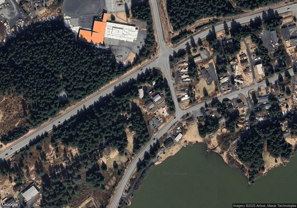
Map
Nearby Homes
- 110 Bancroft Dr
- 1815 Chichenof St
- 375 Augustine Ct
- 1720 E Rezanof Dr
- 1716 Selief Ln
- 3514 Sitkinak Dr
- 3431 Sitkinak Dr
- 1614 Selief Ln
- 1411 Mission Rd
- 1314 Mission Rd
- 1316 Mylark Ln Unit 35
- 3601 Sharatin Rd
- 1310 Mission Rd
- 1310 Madsen Ave
- 301 Teal Way
- 1216 Purtov St
- 2398 Eagle Dr
- 504 Lilly Dr
- 515 Maple Ave
- 4142 Ocean Dr
- 364 Benny Benson Dr
- 2353 Mission Rd
- 2403 Mission Rd Unit 12
- 2408 Spruce Cape Rd
- 2376 Mission Rd
- 2350 Mission Rd
- 353 Benny Benson Dr
- 353 Benny Benson Dr Unit 4
- 2330 Mission Rd
- 2426 Spruce Cape Rd
- 2453 Spruce Cape Rd
- 2436 E Rezanof Dr
- 2450 Spruce Cape Rd
- 2436 &2456 E Rezanof Dr
- 2474 Spruce Cape Rd
- 2483 Spruce Cape Rd Unit 5
- 2483 Spruce Cape Rd Unit 1
- 2483 Spruce Cape Rd Unit 7
- 2483 Spruce Cape Rd Unit 2
- 2483 Spruce Cape Rd