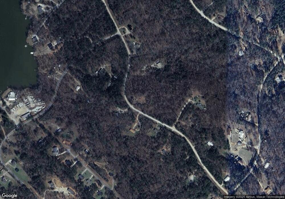
374 Doe Ln Mansfield, GA 30055
Jasper County NeighborhoodEstimated Value: $25,859 - $278,000
3
Beds
2
Baths
1,620
Sq Ft
$108/Sq Ft
Est. Value
About This Home
This home is located at 374 Doe Ln, Mansfield, GA 30055 and is currently estimated at $174,465, approximately $107 per square foot. 374 Doe Ln is a home located in Jasper County with nearby schools including Jasper County Primary School, Washington Park Elementary School, and Jasper County Middle School.
Ownership History
Date
Name
Owned For
Owner Type
Purchase Details
Closed on
Jul 18, 2016
Sold by
Carrington Mtg Svcs Llc
Bought by
Maxey Marc Edward
Current Estimated Value
Purchase Details
Closed on
Jun 16, 2009
Sold by
Holcombe Mary B
Bought by
White Casey
Home Financials for this Owner
Home Financials are based on the most recent Mortgage that was taken out on this home.
Original Mortgage
$63,822
Interest Rate
4.79%
Mortgage Type
FHA
Purchase Details
Closed on
Jan 3, 1995
Bought by
Holcombe Mary B
Create a Home Valuation Report for This Property
The Home Valuation Report is an in-depth analysis detailing your home's value as well as a comparison with similar homes in the area
Home Values in the Area
Average Home Value in this Area
Purchase History
| Date | Buyer | Sale Price | Title Company |
|---|---|---|---|
| Maxey Marc Edward | $12,000 | -- | |
| White Casey | $66,000 | -- | |
| Holcombe Mary B | $10,000 | -- |
Source: Public Records
Mortgage History
| Date | Status | Borrower | Loan Amount |
|---|---|---|---|
| Previous Owner | White Casey | $63,822 |
Source: Public Records
Tax History Compared to Growth
Tax History
| Year | Tax Paid | Tax Assessment Tax Assessment Total Assessment is a certain percentage of the fair market value that is determined by local assessors to be the total taxable value of land and additions on the property. | Land | Improvement |
|---|---|---|---|---|
| 2024 | $506 | $18,720 | $16,720 | $2,000 |
| 2023 | $388 | $14,080 | $12,080 | $2,000 |
| 2022 | $418 | $14,080 | $12,080 | $2,000 |
| 2021 | $345 | $10,080 | $8,200 | $1,880 |
| 2020 | $296 | $8,160 | $6,280 | $1,880 |
| 2019 | $192 | $4,760 | $2,880 | $1,880 |
| 2018 | $194 | $4,760 | $2,880 | $1,880 |
| 2017 | $348 | $4,760 | $2,880 | $1,880 |
| 2016 | $331 | $3,800 | $1,920 | $1,880 |
| 2015 | $472 | $15,360 | $1,920 | $13,440 |
| 2014 | $460 | $15,040 | $1,920 | $13,120 |
Source: Public Records
Map
Nearby Homes
- LOTS 48,49,50 Doe Ln
- 2.8 AC Bear Creek Point
- 290 Bear Creek Point
- 250 Rainbow Dr
- 833 Bear Creek Point
- 112 Armstrong Dr Unit 89
- 102 Armstrong Dr Unit 88
- 62 Armstrong Dr Unit 84
- 92 Armstrong Dr Unit 87
- 52 Armstrong Dr Unit 83
- 82 Armstrong Dr Unit 86
- 72 Armstrong Dr Unit 85
- 867 Bear Creek Point
- 122 Armstrong Dr Unit 90
- 132 Armstrong Dr Unit 91
- 6 Bear Creek Marina Rd
- 1042 Stag Run Dr
- 935 Alcovy Dr N
- 373 Bennett Dr
- 3 County Line Rd
- 211 Doe Ln
- 376 Doe Ln
- 277 Doe Ln
- 942 Bear Creek Marina Rd
- 15 Chipmunk Ct
- 420 Doe Ln
- 68 Chipmunk Ct
- 870 Bear Creek Marina Rd
- 462 Doe Ln
- 450 Bob Cat Trail
- 109 Doe Ln
- 740 Bear Creek Marina Rd
- 925 Bear Creek Marina Rd
- 845 Bear Creek Marina Rd
- 45 Doe Ln Unit A
- 445 Bob Cat Trail
- 413 Bob Cat Trail
- 393 Bob Cat Trail Unit 5
- 393 Bob Cat Trail
- 477 Bob Cat Trail
