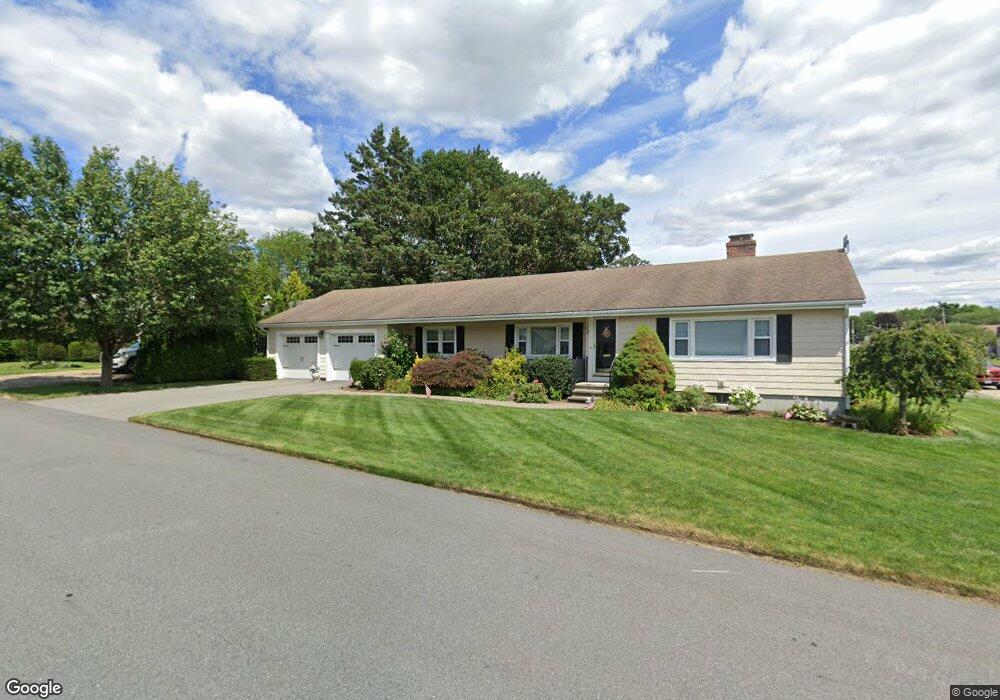
374 Dover Ave East Providence, RI 02914
Kent Heights NeighborhoodEstimated Value: $501,000 - $535,000
3
Beds
2
Baths
1,757
Sq Ft
$297/Sq Ft
Est. Value
About This Home
This home is located at 374 Dover Ave, East Providence, RI 02914 and is currently estimated at $522,503, approximately $297 per square foot. 374 Dover Ave is a home located in Providence County with nearby schools including East Providence High School, The Gordon School, and St Mary Academy-Bay View.
Ownership History
Date
Name
Owned For
Owner Type
Purchase Details
Closed on
Oct 2, 2014
Sold by
Senay Henry J and Senay Marolyn A
Bought by
Henry and Henry Marolyn Senay
Current Estimated Value
Purchase Details
Closed on
Apr 19, 2005
Sold by
Arago Cynthia A
Bought by
Senay Henry J and Senay Marolyn A
Home Financials for this Owner
Home Financials are based on the most recent Mortgage that was taken out on this home.
Original Mortgage
$246,400
Interest Rate
5.78%
Mortgage Type
Purchase Money Mortgage
Create a Home Valuation Report for This Property
The Home Valuation Report is an in-depth analysis detailing your home's value as well as a comparison with similar homes in the area
Home Values in the Area
Average Home Value in this Area
Purchase History
| Date | Buyer | Sale Price | Title Company |
|---|---|---|---|
| Henry | -- | -- | |
| T Henry | -- | -- | |
| Senay Henry J | $308,000 | -- | |
| Henry | -- | -- | |
| Senay Henry J | $308,000 | -- |
Source: Public Records
Mortgage History
| Date | Status | Borrower | Loan Amount |
|---|---|---|---|
| Previous Owner | Senay Henry J | $246,400 | |
| Previous Owner | Senay Henry J | $25,000 |
Source: Public Records
Tax History Compared to Growth
Tax History
| Year | Tax Paid | Tax Assessment Tax Assessment Total Assessment is a certain percentage of the fair market value that is determined by local assessors to be the total taxable value of land and additions on the property. | Land | Improvement |
|---|---|---|---|---|
| 2025 | $6,259 | $478,900 | $128,600 | $350,300 |
| 2024 | $6,203 | $404,600 | $107,300 | $297,300 |
| 2023 | $5,972 | $404,600 | $107,300 | $297,300 |
| 2022 | $5,915 | $270,600 | $57,400 | $213,200 |
| 2021 | $5,818 | $270,600 | $57,400 | $213,200 |
| 2020 | $5,572 | $270,600 | $57,400 | $213,200 |
| 2019 | $5,417 | $270,600 | $57,400 | $213,200 |
| 2018 | $5,416 | $236,700 | $58,600 | $178,100 |
| 2017 | $5,295 | $236,700 | $58,600 | $178,100 |
| 2016 | $5,269 | $236,700 | $58,600 | $178,100 |
| 2015 | $4,907 | $213,800 | $51,700 | $162,100 |
| 2014 | $4,907 | $213,800 | $51,700 | $162,100 |
Source: Public Records
Map
Nearby Homes
- 53 Wampanoag Trail
- 10 Fairfield Ave
- 36 Gerald St
- 108 Ivan Ave
- 180 Grassmere Ave
- 25 Ide Ave
- 59 Merritt Rd
- 87 Vincent Ave
- 74 Brookhaven Dr
- 50 Kettle Point Ave Unit 50
- 740 Veterans Memorial Pkwy
- 26 Mayflower St
- 1463 S Broadway
- 132 S Rose St
- 14 Waterview Ave Unit 16
- 75 Belmont Ave
- 17 Brown St Unit 19
- 21 Donnelly St
- 400 Juniper St Unit A
- 400 Juniper St Unit B