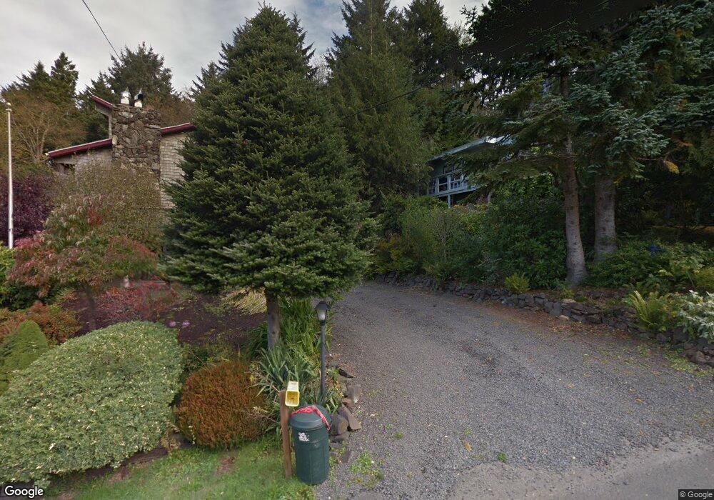
374 E Sunset Blvd Cannon Beach, OR 97110
Estimated Value: $702,000 - $816,000
2
Beds
2
Baths
1,334
Sq Ft
$581/Sq Ft
Est. Value
About This Home
This home is located at 374 E Sunset Blvd, Cannon Beach, OR 97110 and is currently estimated at $775,586, approximately $581 per square foot. 374 E Sunset Blvd is a home located in Clatsop County with nearby schools including Seaside High School and The Cannon Beach Academy.
Ownership History
Date
Name
Owned For
Owner Type
Purchase Details
Closed on
Jun 2, 2022
Sold by
Rice Robert R
Bought by
Rpr Revocable Living Trust
Current Estimated Value
Purchase Details
Closed on
Aug 2, 2012
Sold by
Rice Robert E
Bought by
Rice Robert R
Home Financials for this Owner
Home Financials are based on the most recent Mortgage that was taken out on this home.
Original Mortgage
$224,000
Interest Rate
2.37%
Mortgage Type
Adjustable Rate Mortgage/ARM
Create a Home Valuation Report for This Property
The Home Valuation Report is an in-depth analysis detailing your home's value as well as a comparison with similar homes in the area
Home Values in the Area
Average Home Value in this Area
Purchase History
| Date | Buyer | Sale Price | Title Company |
|---|---|---|---|
| Rpr Revocable Living Trust | -- | None Listed On Document | |
| Rice Robert R | $280,000 | Ticor Title Ins Co |
Source: Public Records
Mortgage History
| Date | Status | Borrower | Loan Amount |
|---|---|---|---|
| Previous Owner | Rice Robert R | $224,000 |
Source: Public Records
Tax History Compared to Growth
Tax History
| Year | Tax Paid | Tax Assessment Tax Assessment Total Assessment is a certain percentage of the fair market value that is determined by local assessors to be the total taxable value of land and additions on the property. | Land | Improvement |
|---|---|---|---|---|
| 2024 | $4,726 | $374,402 | -- | -- |
| 2023 | $4,270 | $363,498 | $0 | $0 |
| 2022 | $4,159 | $352,911 | $0 | $0 |
| 2021 | $4,073 | $342,633 | $0 | $0 |
| 2020 | $4,003 | $332,654 | $0 | $0 |
| 2019 | $3,762 | $322,966 | $0 | $0 |
| 2018 | $3,521 | $313,560 | $0 | $0 |
| 2017 | $3,347 | $304,428 | $0 | $0 |
| 2016 | $2,947 | $295,562 | $152,593 | $142,969 |
| 2015 | $2,829 | $286,954 | $148,149 | $138,805 |
| 2014 | $2,738 | $278,597 | $0 | $0 |
| 2013 | -- | $270,483 | $0 | $0 |
Source: Public Records
Map
Nearby Homes
- 264 Elliott Way
- 264 E Elliott Way
- 421 Elk Creek Rd
- 420 Elk Creek Rd Unit 503
- 164 E Hills Ln
- 0 E Elliott Way Unit 25-50
- 0 E Elliott Way Unit 6903
- 131 Arbor Ln
- 107 Sunset Blvd
- 216 E Harrison St
- 1631 S Hemlock St
- 1625 Forest Lawn Rd
- 1659 Forest Lawn Rd
- 296 E Jackson St
- 1880 Pacific St
- 421 Chilkoot Trail
- 3750 Pacific St
- 163 Amber Ln
- 108 W Jefferson St
- 388 Sunset Blvd
- 384 E Sunset Blvd
- 384 Sunset Blvd
- 387 E Sunset Blvd
- 372 E Sunset Blvd
- 368 Sunset Blvd
- 376 Sunset Blvd
- 386 E Sunset Blvd
- 364 Sunset Blvd
- 382 E Sunset Blvd
- 354 Sunset Blvd
- 354 E Sunset Blvd
- 390 Sunset Blvd
- 352 Sunset Blvd
- 381 Sunset Blvd
- 379 Sunset Blvd
- 355 Sunset Blvd
- 371 Sunset Blvd
- 323 Reservoir Rd
- 396 Sunset Blvd