Estimated Value: $132,000 - $155,471
3
Beds
2
Baths
1,768
Sq Ft
$81/Sq Ft
Est. Value
About This Home
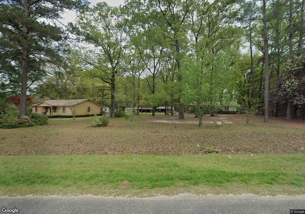
This home is located at 374 Hudson Rd, Cairo, GA 39827 and is currently estimated at $142,824, approximately $80 per square foot. 374 Hudson Rd is a home located in Grady County.
Ownership History
Date
Name
Owned For
Owner Type
Purchase Details
Closed on
Aug 26, 2025
Sold by
Roberts Kelsey Leann
Bought by
Nowell Robert
Current Estimated Value
Purchase Details
Closed on
Apr 29, 2021
Sold by
Nowell Robert
Bought by
Roberts Kelsie Leann
Purchase Details
Closed on
Mar 27, 2015
Sold by
Nichols Glinda Louise
Bought by
Nowell Robert
Purchase Details
Closed on
Aug 17, 2011
Sold by
Nichols Michael Don
Bought by
Nichols Henry Donald and Nichols Glinda
Purchase Details
Closed on
Oct 16, 2005
Sold by
Nichols Henry Donald
Bought by
Nicols Michael Don
Purchase Details
Closed on
Nov 3, 1979
Bought by
Nichols Don
Create a Home Valuation Report for This Property
The Home Valuation Report is an in-depth analysis detailing your home's value as well as a comparison with similar homes in the area
Home Values in the Area
Average Home Value in this Area
Purchase History
| Date | Buyer | Sale Price | Title Company |
|---|---|---|---|
| Nowell Robert | $70,000 | -- | |
| Roberts Kelsie Leann | $75,000 | -- | |
| Nowell Robert | $75,000 | -- | |
| Nichols Henry Donald | -- | -- | |
| Nicols Michael Don | -- | -- | |
| Nichols Don | -- | -- |
Source: Public Records
Tax History Compared to Growth
Tax History
| Year | Tax Paid | Tax Assessment Tax Assessment Total Assessment is a certain percentage of the fair market value that is determined by local assessors to be the total taxable value of land and additions on the property. | Land | Improvement |
|---|---|---|---|---|
| 2024 | $1,798 | $60,460 | $8,310 | $52,150 |
| 2023 | $1,142 | $39,099 | $5,656 | $33,443 |
| 2022 | $1,142 | $39,099 | $5,656 | $33,443 |
| 2021 | $1,047 | $33,906 | $5,656 | $28,250 |
| 2020 | $276 | $8,898 | $5,656 | $3,242 |
| 2019 | $276 | $8,898 | $5,656 | $3,242 |
| 2018 | $259 | $34,984 | $6,998 | $27,986 |
| 2017 | $969 | $34,984 | $6,998 | $27,986 |
| 2016 | $836 | $37,331 | $8,447 | $28,884 |
| 2015 | $830 | $37,331 | $8,447 | $28,884 |
| 2014 | $830 | $37,331 | $8,447 | $28,884 |
| 2013 | -- | $0 | $0 | $0 |
Source: Public Records
Map
Nearby Homes
- 2427 Pierce Chapel Rd
- 3136 State Route 188
- 1210 Elkins Rd
- 144 Mount Nebo Ln
- 161 Evergreen Ln
- 88 Ruby Ln
- 1457 Stewart Rd
- 963 Pope's Store Rd
- 4164 U S 84 Unit Lot Q
- 126 Banks Rd
- 3109 U S 84
- 3109 U S 84
- 1016 Richter Rd
- 414 Woodland Rd
- 0 NE Airport Rd Unit 145784
- 142 Naomi Ln
- 00 State Route 188
- 0 State Route 188
- 78.6 Ac Strickland Rd
- 27867 Georgia 3