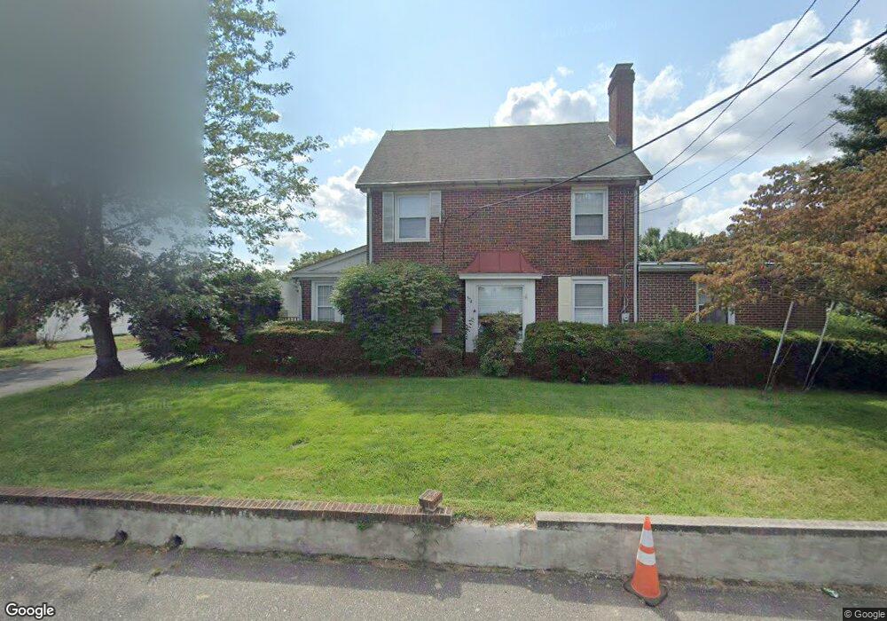
374 Jessup Rd West Deptford, NJ 08086
West Deptford Township NeighborhoodEstimated Value: $515,260 - $614,000
--
Bed
--
Bath
3,060
Sq Ft
$190/Sq Ft
Est. Value
About This Home
This home is located at 374 Jessup Rd, West Deptford, NJ 08086 and is currently estimated at $581,815, approximately $190 per square foot. 374 Jessup Rd is a home located in Gloucester County with nearby schools including Green-Fields Elementary School, Red Bank Elementary School, and Oakview Elementary School.
Ownership History
Date
Name
Owned For
Owner Type
Purchase Details
Closed on
Mar 14, 2001
Sold by
Heritage Harriet P
Bought by
Heritage Shirley A
Current Estimated Value
Home Financials for this Owner
Home Financials are based on the most recent Mortgage that was taken out on this home.
Original Mortgage
$60,000
Interest Rate
7.01%
Mortgage Type
Stand Alone First
Create a Home Valuation Report for This Property
The Home Valuation Report is an in-depth analysis detailing your home's value as well as a comparison with similar homes in the area
Home Values in the Area
Average Home Value in this Area
Purchase History
| Date | Buyer | Sale Price | Title Company |
|---|---|---|---|
| Heritage Shirley A | $90,000 | -- |
Source: Public Records
Mortgage History
| Date | Status | Borrower | Loan Amount |
|---|---|---|---|
| Closed | Heritage Shirley A | $60,000 |
Source: Public Records
Tax History Compared to Growth
Tax History
| Year | Tax Paid | Tax Assessment Tax Assessment Total Assessment is a certain percentage of the fair market value that is determined by local assessors to be the total taxable value of land and additions on the property. | Land | Improvement |
|---|---|---|---|---|
| 2025 | $11,206 | $320,900 | $51,400 | $269,500 |
| 2024 | $11,061 | $320,900 | $51,400 | $269,500 |
| 2023 | $11,061 | $320,900 | $51,400 | $269,500 |
| 2022 | $11,010 | $320,900 | $51,400 | $269,500 |
| 2021 | $10,972 | $320,900 | $51,400 | $269,500 |
| 2020 | $10,946 | $320,900 | $51,400 | $269,500 |
| 2019 | $10,641 | $320,900 | $51,400 | $269,500 |
| 2018 | $10,352 | $320,900 | $51,400 | $269,500 |
| 2017 | $10,112 | $320,900 | $51,400 | $269,500 |
| 2016 | $9,829 | $320,900 | $51,400 | $269,500 |
| 2015 | $9,364 | $320,900 | $51,400 | $269,500 |
| 2014 | $8,899 | $320,900 | $51,400 | $269,500 |
Source: Public Records
Map
Nearby Homes
- 740 Carter Hill Dr
- 1810 Fernwood Dr
- 1311 Barnesdale Rd
- 64 Tilden Rd
- 863 Doncaster Dr
- 1102 Barnesdale Rd
- 4 Saint Emilion Ct
- 640 Worcester Dr
- 433 Crown Point Rd
- 97 Church St
- 1220 Royal Ln
- 87 Woodway Dr Unit 87
- 439 Crown Point Rd
- 121 Cape May Ave
- 247 Crown Point Rd
- 10 Kennedy Ct
- 266 Passaic Ave
- 558 Prince St
- 12 Highbridge Ln Unit I2
- 125 Lionheart Ln Unit C125
- 372 Jessup Rd
- 1602 Pennfield Dr
- 375 Jessup Rd
- 1404 Weatherly Ct
- 1406 Weatherly Ct
- 373 Jessup Rd
- 1408 Weatherly Ct
- 1503 Cobblestone Ct
- 371 Jessup Rd
- 390 Jessup Rd
- 1410 Weatherly Ct
- 1401 Weatherly Ct
- 1505 Cobblestone Ct
- 1403 Weatherly Ct
- 369 Jessup Rd
- 1405 Weatherly Ct
- 1412 Weatherly Ct
- 396 Jessup Rd
- 1407 Weatherly Ct
- 1509 Cobblestone Ct