374 Landons Dam Rd Oakland, MD 21550
Estimated Value: $203,695 - $334,000
--
Bed
1
Bath
1,026
Sq Ft
$254/Sq Ft
Est. Value
About This Home
This home is located at 374 Landons Dam Rd, Oakland, MD 21550 and is currently estimated at $260,174, approximately $253 per square foot. 374 Landons Dam Rd is a home located in Garrett County with nearby schools including Yough Glades Elementary School, Swan Meadow School, and Southern Middle School.
Ownership History
Date
Name
Owned For
Owner Type
Purchase Details
Closed on
Oct 18, 1989
Sold by
Kauffman Abraham and Kauffman Ella
Bought by
Crawford Gregan T and Crawford Donna L
Current Estimated Value
Home Financials for this Owner
Home Financials are based on the most recent Mortgage that was taken out on this home.
Original Mortgage
$58,800
Interest Rate
9.95%
Purchase Details
Closed on
Nov 15, 1984
Sold by
Crawford David T and Crawford Mary A
Bought by
Kauffman Abraham and Kauffman Ella
Home Financials for this Owner
Home Financials are based on the most recent Mortgage that was taken out on this home.
Original Mortgage
$37,500
Interest Rate
13.74%
Create a Home Valuation Report for This Property
The Home Valuation Report is an in-depth analysis detailing your home's value as well as a comparison with similar homes in the area
Home Values in the Area
Average Home Value in this Area
Purchase History
| Date | Buyer | Sale Price | Title Company |
|---|---|---|---|
| Crawford Gregan T | $73,500 | -- | |
| Kauffman Abraham | $37,500 | -- |
Source: Public Records
Mortgage History
| Date | Status | Borrower | Loan Amount |
|---|---|---|---|
| Closed | Crawford Gregan T | $58,800 | |
| Previous Owner | Kauffman Abraham | $37,500 |
Source: Public Records
Tax History Compared to Growth
Tax History
| Year | Tax Paid | Tax Assessment Tax Assessment Total Assessment is a certain percentage of the fair market value that is determined by local assessors to be the total taxable value of land and additions on the property. | Land | Improvement |
|---|---|---|---|---|
| 2025 | $1,806 | $183,600 | $29,500 | $154,100 |
| 2024 | $1,794 | $167,667 | $0 | $0 |
| 2023 | $1,730 | $151,733 | $0 | $0 |
| 2022 | $1,654 | $135,800 | $29,000 | $106,800 |
| 2021 | $1,646 | $135,167 | $0 | $0 |
| 2020 | $1,590 | $134,533 | $0 | $0 |
| 2019 | $1,521 | $133,900 | $29,000 | $104,900 |
| 2018 | $1,378 | $133,900 | $29,000 | $104,900 |
| 2017 | $1,319 | $133,900 | $0 | $0 |
| 2016 | -- | $138,500 | $0 | $0 |
| 2015 | -- | $134,067 | $0 | $0 |
| 2014 | -- | $129,633 | $0 | $0 |
Source: Public Records
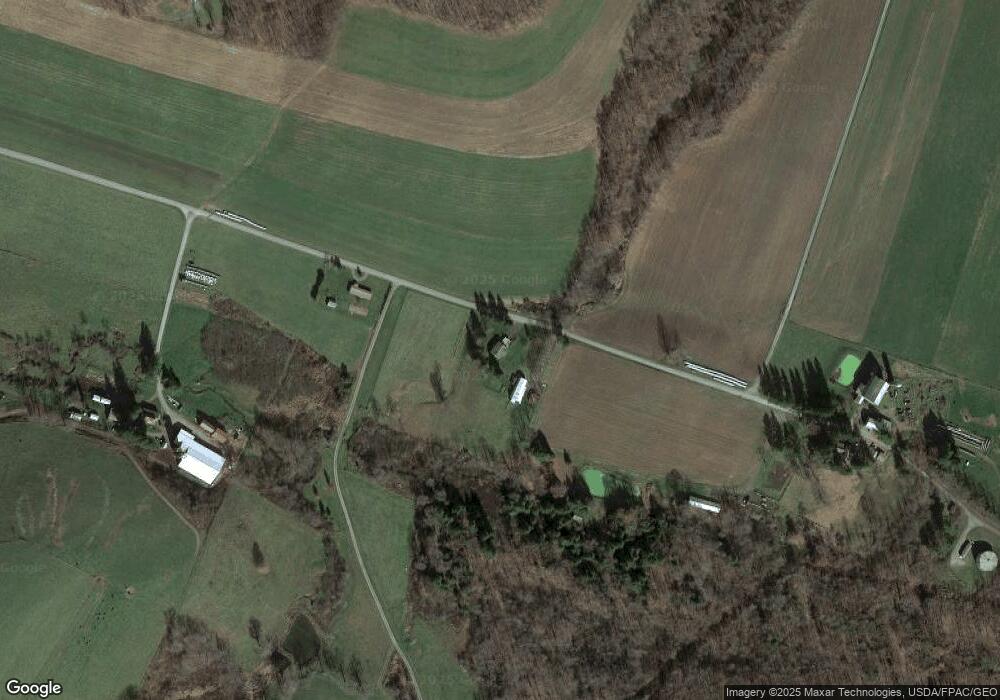
Map
Nearby Homes
- 210 Seneca Ave
- 102 Roanoke Ave
- Lots 26-29 E Third Ave
- 18 Hoye Crest Rd
- 104 G St
- 204 E St
- 0 Bethlehem Rd
- 1737 King Wildesen Rd
- 1570 Garrett Rd
- 809 N St
- 723 Kings Ct
- 127 S Oakhall Dr
- Lot 1 Cherrywood Dr
- 609 Southern Pines Dr
- 1056 Sunrise Dr
- 697 Monte Vista Rd
- 611 E Oak St
- 0 8th & Dennett Road St Unit MDGA2009886
- 503 E Alder St
- 511 E Green St
- 256 Landons Dam Rd
- 449 Landons Dam Rd
- 174 Landons Dam Rd
- 820 Smouse Rd
- 306 Landons Dam Rd
- 840 Smouse Rd
- 443 Landons Dam Rd
- 954 Smouse Rd
- 884 Smouse Rd
- 757 Smouse Rd
- 721 Smouse Rd
- 964 Smouse Rd
- 970 Smouse Rd
- 659 Smouse Rd
- 1052 Smouse Rd
- 917 Smouse Rd
- 424 Smouse Rd
- 1239 Smouse Rd
- 1212 Smouse Rd
- 188 May Pole Ln