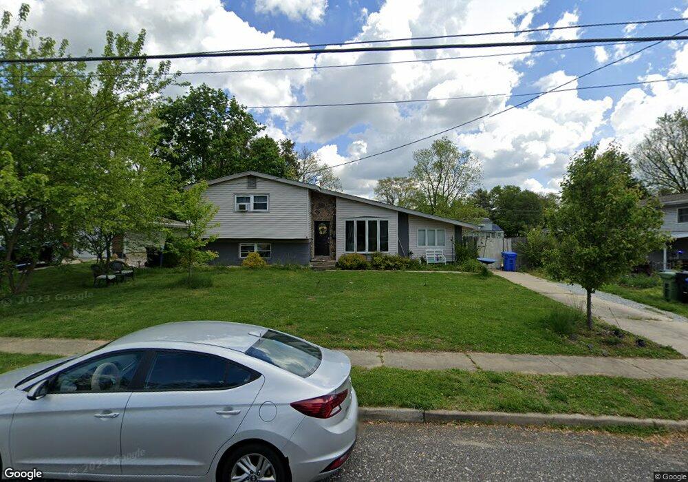
374 Lansing Dr Mantua, NJ 08051
Mantua Township NeighborhoodEstimated Value: $334,000 - $375,000
--
Bed
--
Bath
1,499
Sq Ft
$235/Sq Ft
Est. Value
About This Home
This home is located at 374 Lansing Dr, Mantua, NJ 08051 and is currently estimated at $351,799, approximately $234 per square foot. 374 Lansing Dr is a home located in Gloucester County with nearby schools including Centre City School, Clearview Regional Middle School, and Clearview Regional High School.
Ownership History
Date
Name
Owned For
Owner Type
Purchase Details
Closed on
Sep 1, 2005
Sold by
Smith Shirley E
Bought by
Glynn Geraldine
Current Estimated Value
Home Financials for this Owner
Home Financials are based on the most recent Mortgage that was taken out on this home.
Original Mortgage
$185,200
Outstanding Balance
$99,020
Interest Rate
5.84%
Mortgage Type
FHA
Estimated Equity
$252,779
Purchase Details
Closed on
Mar 20, 1996
Sold by
Smith Shirley E and Smith Charles E
Bought by
Smith Shirley E
Create a Home Valuation Report for This Property
The Home Valuation Report is an in-depth analysis detailing your home's value as well as a comparison with similar homes in the area
Home Values in the Area
Average Home Value in this Area
Purchase History
| Date | Buyer | Sale Price | Title Company |
|---|---|---|---|
| Glynn Geraldine | $212,500 | -- | |
| Smith Shirley E | -- | -- |
Source: Public Records
Mortgage History
| Date | Status | Borrower | Loan Amount |
|---|---|---|---|
| Open | Glynn Geraldine | $185,200 |
Source: Public Records
Tax History Compared to Growth
Tax History
| Year | Tax Paid | Tax Assessment Tax Assessment Total Assessment is a certain percentage of the fair market value that is determined by local assessors to be the total taxable value of land and additions on the property. | Land | Improvement |
|---|---|---|---|---|
| 2025 | $7,192 | $279,300 | $85,500 | $193,800 |
| 2024 | $7,117 | $279,300 | $85,500 | $193,800 |
| 2023 | $7,117 | $279,300 | $85,500 | $193,800 |
| 2022 | $6,135 | $175,400 | $57,900 | $117,500 |
| 2021 | $6,181 | $175,400 | $57,900 | $117,500 |
| 2020 | $6,132 | $175,400 | $57,900 | $117,500 |
| 2019 | $6,029 | $175,400 | $57,900 | $117,500 |
| 2018 | $5,943 | $175,400 | $57,900 | $117,500 |
| 2017 | $5,853 | $175,400 | $57,900 | $117,500 |
| 2016 | $5,786 | $175,400 | $57,900 | $117,500 |
| 2015 | $5,644 | $170,200 | $57,900 | $112,300 |
| 2014 | $5,293 | $170,200 | $57,900 | $112,300 |
Source: Public Records
Map
Nearby Homes
- 333 Jackson Rd
- 284 Columbus Dr
- 17 Oakton Dr
- 290 Montgomery Dr
- 41 Woodbrook Dr Unit C041
- 26 Woodstream Ct
- 380 Heritage Rd
- 590 Bridgeton Pike
- 580 Mount Royal Rd
- 119 Monroe Ave
- 608 Main St
- 485 Harrison Ave
- 36 Bluebird Rd
- 204 W Landing Rd
- 325 Bridgeton Pike
- 190 Mockingbird Ln
- 261 Tony Cir
- 155 Whippoorwill Way
- 1433 Tristram Cir
- 8 Barry Dr
- 366 Lansing Dr
- 376 Lansing Dr
- 358 Lansing Dr
- 367 Jackson Rd
- 365 Jackson Rd
- 378 Lansing Dr
- 369 Jackson Rd
- 367 Lansing Dr
- 383 Lansing Dr
- 357 Jackson Rd
- 350 Lansing Dr
- 371 Jackson Rd Unit CO54
- 359 Lansing Dr
- 380 Lansing Dr
- 349 Jackson Rd
- 385 Lansing Dr
- 373 Jackson Rd
- 351 Lansing Dr
- 342 Lansing Dr
- 618 Frankfort Ave