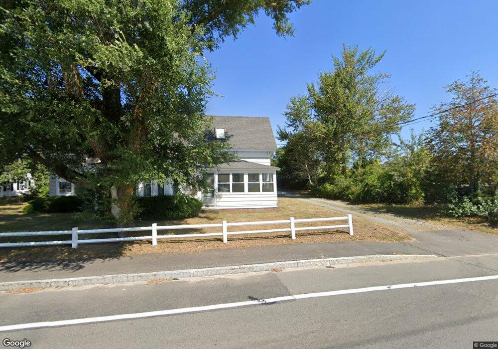
374 Main St Dennis Port, MA 02639
Dennis Port NeighborhoodEstimated Value: $543,000 - $997,000
4
Beds
2
Baths
996
Sq Ft
$754/Sq Ft
Est. Value
About This Home
This home is located at 374 Main St, Dennis Port, MA 02639 and is currently estimated at $750,678, approximately $753 per square foot. 374 Main St is a home located in Barnstable County with nearby schools including Dennis-Yarmouth Regional High School and St. Pius X. School.
Ownership History
Date
Name
Owned For
Owner Type
Purchase Details
Closed on
May 24, 1989
Sold by
Swanson William H
Bought by
Cuoneo John C
Current Estimated Value
Home Financials for this Owner
Home Financials are based on the most recent Mortgage that was taken out on this home.
Original Mortgage
$50,000
Interest Rate
10.99%
Mortgage Type
Purchase Money Mortgage
Create a Home Valuation Report for This Property
The Home Valuation Report is an in-depth analysis detailing your home's value as well as a comparison with similar homes in the area
Home Values in the Area
Average Home Value in this Area
Purchase History
| Date | Buyer | Sale Price | Title Company |
|---|---|---|---|
| Cuoneo John C | $300,000 | -- | |
| Cuoneo John C | $300,000 | -- |
Source: Public Records
Mortgage History
| Date | Status | Borrower | Loan Amount |
|---|---|---|---|
| Closed | Cuoneo John C | $50,000 |
Source: Public Records
Tax History Compared to Growth
Tax History
| Year | Tax Paid | Tax Assessment Tax Assessment Total Assessment is a certain percentage of the fair market value that is determined by local assessors to be the total taxable value of land and additions on the property. | Land | Improvement |
|---|---|---|---|---|
| 2025 | $1,851 | $427,400 | $211,700 | $215,700 |
| 2024 | $1,839 | $418,800 | $215,600 | $203,200 |
| 2023 | $1,778 | $380,800 | $196,000 | $184,800 |
| 2022 | $1,880 | $335,700 | $196,100 | $139,600 |
| 2021 | $1,785 | $296,000 | $173,100 | $122,900 |
| 2020 | $1,798 | $294,800 | $173,100 | $121,700 |
| 2019 | $1,829 | $296,500 | $169,700 | $126,800 |
| 2018 | $1,726 | $272,200 | $161,500 | $110,700 |
| 2017 | $1,697 | $276,000 | $161,500 | $114,500 |
| 2016 | $1,797 | $275,200 | $179,500 | $95,700 |
| 2015 | $1,741 | $272,100 | $179,500 | $92,600 |
| 2014 | $1,519 | $239,200 | $143,600 | $95,600 |
Source: Public Records
Map
Nearby Homes
- 268 Main St
- 72 Bassett Ln
- 10 Candlewood Ln Unit 2-1
- 12 Candlewood Ln Unit 2-9
- 9 Country Ln
- 22 Wixon Rd
- 166 Upper County Rd Unit 1-4
- 12 Cross St
- 78 Upper County Rd Unit A&B
- 78 Upper County Rd
- 221 Upper County Rd Unit 2A
- 221 Upper County Rd Unit 2A
- 125 Main St Unit 3
- 4 Coffey Ln
- 47 Telegraph Rd Unit 1
- 24 Indian Trail
- 159 Center St Unit 22
- 19 Standish Way
- 31 Easy St
- 71 Main St