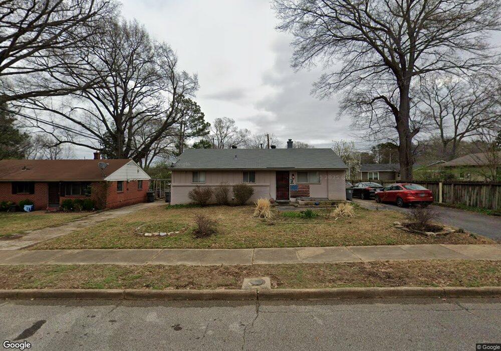
374 Mcdermitt Rd Memphis, TN 38120
East Memphis NeighborhoodEstimated Value: $177,000 - $220,000
3
Beds
2
Baths
1,503
Sq Ft
$131/Sq Ft
Est. Value
About This Home
This home is located at 374 Mcdermitt Rd, Memphis, TN 38120 and is currently estimated at $197,462, approximately $131 per square foot. 374 Mcdermitt Rd is a home located in Shelby County with nearby schools including Richland Elementary School, White Station Middle, and White Station High.
Ownership History
Date
Name
Owned For
Owner Type
Purchase Details
Closed on
Nov 29, 2006
Sold by
Finzo Stephen Nick and Finzo Dorothy L
Bought by
Johnson Linda M
Current Estimated Value
Home Financials for this Owner
Home Financials are based on the most recent Mortgage that was taken out on this home.
Original Mortgage
$107,153
Outstanding Balance
$64,135
Interest Rate
6.33%
Mortgage Type
FHA
Estimated Equity
$133,327
Create a Home Valuation Report for This Property
The Home Valuation Report is an in-depth analysis detailing your home's value as well as a comparison with similar homes in the area
Home Values in the Area
Average Home Value in this Area
Purchase History
We collect this data history from publicly available records. To have your information removed, we recommend requesting removal directly through your county’s website.
| Date | Buyer | Sale Price | Title Company |
|---|---|---|---|
| Johnson Linda M | $108,000 | Stewart Title Of Memphis Inc |
Source: Public Records
Mortgage History
We collect this data history from publicly available records. To have your information removed, we recommend requesting removal directly through your county’s website.
| Date | Status | Borrower | Loan Amount |
|---|---|---|---|
| Open | Johnson Linda M | $107,153 |
Source: Public Records
Tax History
| Year | Tax Paid | Tax Assessment Tax Assessment Total Assessment is a certain percentage of the fair market value that is determined by local assessors to be the total taxable value of land and additions on the property. | Land | Improvement |
|---|---|---|---|---|
| 2025 | $1,334 | $46,825 | $10,000 | $36,825 |
| 2024 | $1,334 | $39,350 | $5,925 | $33,425 |
| 2023 | $2,397 | $39,350 | $5,925 | $33,425 |
| 2022 | $2,397 | $39,350 | $5,925 | $33,425 |
| 2021 | $2,425 | $39,350 | $5,925 | $33,425 |
| 2020 | $1,958 | $27,025 | $4,800 | $22,225 |
| 2019 | $1,958 | $27,025 | $4,800 | $22,225 |
| 2018 | $1,958 | $27,025 | $4,800 | $22,225 |
| 2017 | $1,111 | $27,025 | $4,800 | $22,225 |
| 2016 | $1,067 | $24,425 | $0 | $0 |
| 2014 | $1,067 | $24,425 | $0 | $0 |
Source: Public Records
Map
Nearby Homes
- 424 Malboro Rd
- 5524 Fountain Bay Dr
- 379 Mcelroy Rd
- 5557 Mason Rd
- 5572 Mason Rd
- 506 Mcdermitt Rd
- 536 Wheaton Park Cove N
- 5364 Wheaton Park Ct
- 430 Rosser Rd
- 5347 Denwood Ave
- 5259 Sequoia Rd
- 330 N White Station Rd
- 5271 Princeton Rd
- 5250 Sequoia Rd
- 5301 Denwood Ave
- 5585 Milford Rd
- 5229 Sequoia Rd
- 258 N White Station Rd
- 226 N White Station Rd
- 182 Brenrich Cove S
- 380 Mcdermitt Rd
- 5452 Mason Rd
- 5460 Mason Rd
- 386 Mcdermitt Rd
- 373 Malboro Rd
- 379 Malboro Rd
- 373 Mcdermitt Rd
- 385 Malboro Rd
- 5438 Mason Rd
- 379 Mcdermitt Rd
- 392 Mcdermitt Rd
- 385 Mcdermitt Rd
- 391 Malboro Rd
- 398 Mcdermitt Rd
- 5430 Mason Rd
- 391 Mcdermitt Rd
- 397 Malboro Rd
- 397 Mcdermitt Rd
- 374 Mineral Rd
- 370 Malboro Rd
Your Personal Tour Guide
Ask me questions while you tour the home.