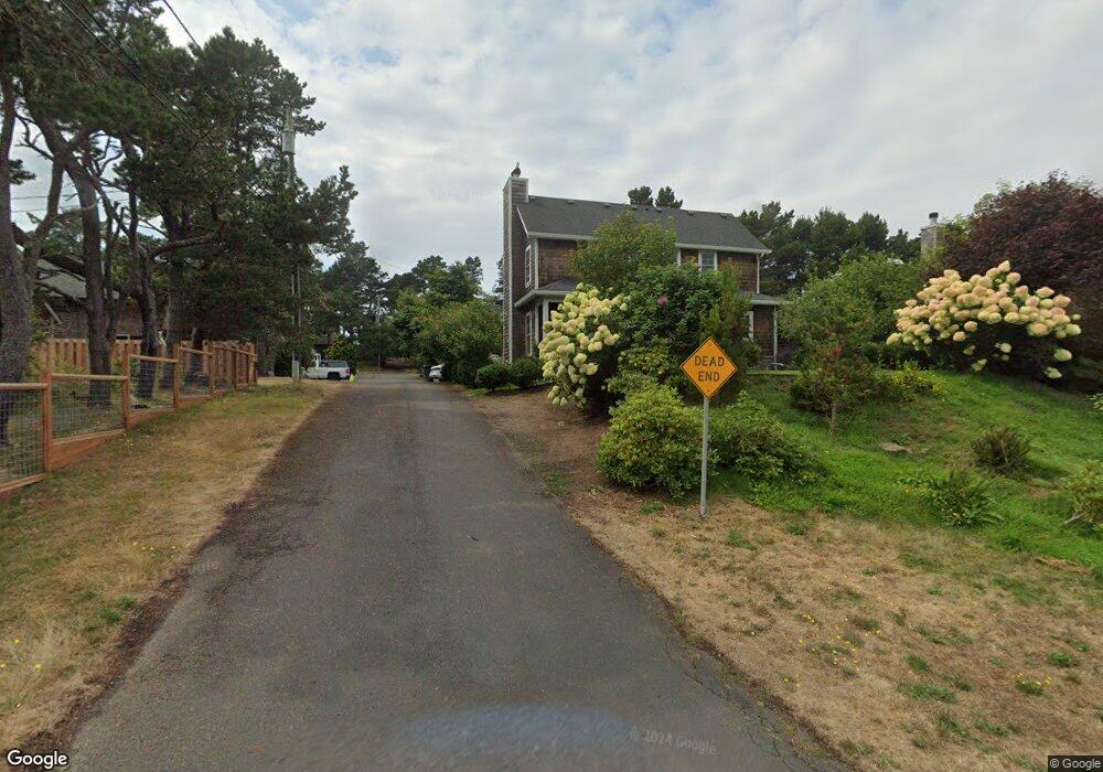
374 Nita Ave Seaside, OR 97138
Estimated Value: $905,000 - $1,069,000
4
Beds
4
Baths
1,102
Sq Ft
$913/Sq Ft
Est. Value
About This Home
This home is located at 374 Nita Ave, Seaside, OR 97138 and is currently estimated at $1,006,660, approximately $913 per square foot. 374 Nita Ave is a home with nearby schools including Seaside High School.
Ownership History
Date
Name
Owned For
Owner Type
Purchase Details
Closed on
Mar 14, 2016
Sold by
Nwell Jay J and Newell Shannon M
Bought by
Newell 2014 Trust
Current Estimated Value
Purchase Details
Closed on
Dec 29, 2014
Sold by
Perkiomaki Jukka J and Gervais Judy A
Bought by
Newell Minton J and Newell Shannon M
Home Financials for this Owner
Home Financials are based on the most recent Mortgage that was taken out on this home.
Original Mortgage
$304,000
Outstanding Balance
$225,419
Interest Rate
3%
Mortgage Type
New Conventional
Estimated Equity
$781,241
Create a Home Valuation Report for This Property
The Home Valuation Report is an in-depth analysis detailing your home's value as well as a comparison with similar homes in the area
Home Values in the Area
Average Home Value in this Area
Purchase History
| Date | Buyer | Sale Price | Title Company |
|---|---|---|---|
| Newell 2014 Trust | -- | None Available | |
| Newell Minton J | $163,500 | Fidelity National Title Ins |
Source: Public Records
Mortgage History
| Date | Status | Borrower | Loan Amount |
|---|---|---|---|
| Open | Newell Minton J | $304,000 |
Source: Public Records
Tax History Compared to Growth
Tax History
| Year | Tax Paid | Tax Assessment Tax Assessment Total Assessment is a certain percentage of the fair market value that is determined by local assessors to be the total taxable value of land and additions on the property. | Land | Improvement |
|---|---|---|---|---|
| 2024 | $4,783 | $418,229 | -- | -- |
| 2023 | $4,649 | $406,049 | $0 | $0 |
| 2022 | $4,510 | $394,223 | $0 | $0 |
| 2021 | $4,604 | $382,742 | $0 | $0 |
| 2020 | $4,441 | $371,595 | $0 | $0 |
| 2019 | $4,327 | $360,773 | $0 | $0 |
| 2018 | $4,170 | $350,266 | $0 | $0 |
| 2017 | $4,060 | $340,065 | $0 | $0 |
| 2016 | $3,507 | $330,161 | $115,674 | $214,487 |
| 2015 | $1,044 | $98,658 | $98,658 | $0 |
| 2014 | $992 | $95,785 | $0 | $0 |
| 2013 | -- | $92,996 | $0 | $0 |
Source: Public Records
Map
Nearby Homes
- 0 Wellington Ave Unit 25-48
- 0 Wellington Ave Unit 1202
- 1265 D St
- 924 Little Beach Dr
- 1396 N Ocean Ave
- 196 Dylan Ct
- 782 Woodland Ct
- 415 Spruce Ave
- Lots 25-26 5th St
- 766 Neacoxie Blvd
- 0 5th St
- 714 7th St
- 3387-3389 U S 101
- 2624 Neawanna St
- 856 Neacoxie Blvd
- 856 Neacoxie Blvd Unit 311
- 3389 U S 101
- 101 13th St Unit 209
- 1065 Picture Place
- 1054 Picture Place