374 Park Ave Unit 10,11 Hooversville, PA 15936
Estimated Value: $101,000 - $157,638
3
Beds
3
Baths
1,152
Sq Ft
$111/Sq Ft
Est. Value
About This Home
This home is located at 374 Park Ave Unit 10,11, Hooversville, PA 15936 and is currently estimated at $127,660, approximately $110 per square foot. 374 Park Ave Unit 10,11 is a home located in Somerset County with nearby schools including North Star Central Elementary School, North Star East Middle School, and North Star High School.
Ownership History
Date
Name
Owned For
Owner Type
Purchase Details
Closed on
Oct 31, 2005
Sold by
Stoltzfus Richard and Stoltzfus Annelore
Bought by
Beam Shawn and Beam Melissa
Current Estimated Value
Home Financials for this Owner
Home Financials are based on the most recent Mortgage that was taken out on this home.
Original Mortgage
$16,938
Outstanding Balance
$10,645
Interest Rate
5.93%
Mortgage Type
Stand Alone Second
Estimated Equity
$117,015
Create a Home Valuation Report for This Property
The Home Valuation Report is an in-depth analysis detailing your home's value as well as a comparison with similar homes in the area
Home Values in the Area
Average Home Value in this Area
Purchase History
| Date | Buyer | Sale Price | Title Company |
|---|---|---|---|
| Beam Shawn | $84,694 | None Available |
Source: Public Records
Mortgage History
| Date | Status | Borrower | Loan Amount |
|---|---|---|---|
| Open | Beam Shawn | $16,938 |
Source: Public Records
Tax History Compared to Growth
Tax History
| Year | Tax Paid | Tax Assessment Tax Assessment Total Assessment is a certain percentage of the fair market value that is determined by local assessors to be the total taxable value of land and additions on the property. | Land | Improvement |
|---|---|---|---|---|
| 2025 | $1,766 | $31,250 | $0 | $0 |
| 2024 | $1,766 | $31,250 | $0 | $0 |
| 2023 | $1,679 | $31,250 | $0 | $0 |
| 2022 | $1,627 | $31,250 | $0 | $0 |
| 2021 | $1,618 | $31,250 | $0 | $0 |
| 2020 | $1,587 | $31,250 | $0 | $0 |
| 2019 | $1,572 | $31,250 | $0 | $0 |
| 2018 | $1,536 | $31,250 | $4,390 | $26,860 |
| 2017 | $1,536 | $31,250 | $4,390 | $26,860 |
| 2016 | -- | $31,250 | $4,390 | $26,860 |
| 2015 | -- | $31,250 | $4,390 | $26,860 |
| 2014 | -- | $31,250 | $4,390 | $26,860 |
Source: Public Records
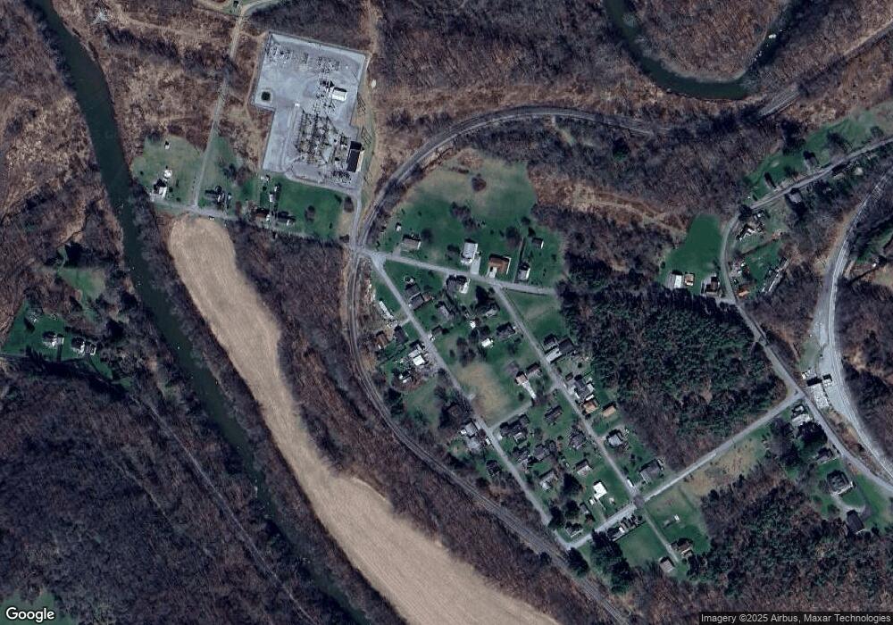
Map
Nearby Homes
- 260 Hoover St
- 0 Railroad St
- 300 Clark St
- 160 Church St
- 285 Sugar St
- 128 Ashbrook Rd
- 146 Back St
- 0 Ridge Rd Unit 96036692
- 194 Pheasant Rd
- 527 Sugar Maple Ave
- 118 1st St
- 5164 Lincoln Hwy
- 208 E Main St
- 308 E Main St
- 640 W Main St
- 248 Thomas St
- 153 Berkeys Ln
- 0 Seanor Rd Lot Unit WP001
- 0 Fyock Dr
- 1411 Camp Dr