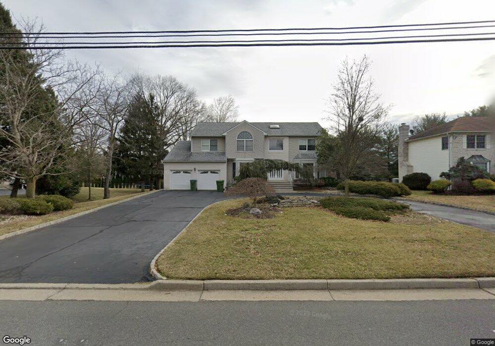
374 Rahway Rd Edison, NJ 08820
Estimated Value: $1,121,479 - $1,532,000
5
Beds
4
Baths
2,888
Sq Ft
$447/Sq Ft
Est. Value
About This Home
This home is located at 374 Rahway Rd, Edison, NJ 08820 and is currently estimated at $1,289,870, approximately $446 per square foot. 374 Rahway Rd is a home located in Middlesex County with nearby schools including Martin Luther King Elementary School, John Adams Middle School, and J.P. Stevens High School.
Ownership History
Date
Name
Owned For
Owner Type
Purchase Details
Closed on
Jan 15, 2019
Sold by
Cham Matthew D and Cham Amy C
Bought by
Salian Rajesh R and Salian Sujata R
Current Estimated Value
Home Financials for this Owner
Home Financials are based on the most recent Mortgage that was taken out on this home.
Original Mortgage
$614,061
Outstanding Balance
$538,783
Interest Rate
4.5%
Mortgage Type
FHA
Estimated Equity
$751,087
Purchase Details
Closed on
Feb 4, 2014
Sold by
Bershtein Mike and Bershtein Julia
Bought by
Cham Matthew D and Cham Amy C
Home Financials for this Owner
Home Financials are based on the most recent Mortgage that was taken out on this home.
Original Mortgage
$675,000
Interest Rate
3.5%
Mortgage Type
Adjustable Rate Mortgage/ARM
Create a Home Valuation Report for This Property
The Home Valuation Report is an in-depth analysis detailing your home's value as well as a comparison with similar homes in the area
Home Values in the Area
Average Home Value in this Area
Purchase History
| Date | Buyer | Sale Price | Title Company |
|---|---|---|---|
| Salian Rajesh R | $710,000 | First American Title Ins Co | |
| Cham Matthew D | $775,000 | Agent For First Amer Title |
Source: Public Records
Mortgage History
| Date | Status | Borrower | Loan Amount |
|---|---|---|---|
| Open | Salian Rajesh R | $614,061 | |
| Previous Owner | Cham Matthew D | $675,000 |
Source: Public Records
Tax History
| Year | Tax Paid | Tax Assessment Tax Assessment Total Assessment is a certain percentage of the fair market value that is determined by local assessors to be the total taxable value of land and additions on the property. | Land | Improvement |
|---|---|---|---|---|
| 2025 | $19,996 | $335,900 | $115,500 | $220,400 |
| 2024 | $19,889 | $335,900 | $115,500 | $220,400 |
Source: Public Records
Map
Nearby Homes