374 River Rd Westport, MA 02790
Acoaxet NeighborhoodEstimated Value: $1,302,960
3
Beds
1
Bath
1,995
Sq Ft
$653/Sq Ft
Est. Value
About This Home
This home is located at 374 River Rd, Westport, MA 02790 and is currently estimated at $1,302,960, approximately $653 per square foot. 374 River Rd is a home located in Bristol County with nearby schools including Alice A. Macomber Primary School, Westport Elementary School, and Westport Middle-High School.
Ownership History
Date
Name
Owned For
Owner Type
Purchase Details
Closed on
Sep 16, 1991
Sold by
Black Samuel L
Bought by
Wickes William G and Wickes Eleanor G
Current Estimated Value
Home Financials for this Owner
Home Financials are based on the most recent Mortgage that was taken out on this home.
Original Mortgage
$178,000
Interest Rate
9.34%
Mortgage Type
Purchase Money Mortgage
Create a Home Valuation Report for This Property
The Home Valuation Report is an in-depth analysis detailing your home's value as well as a comparison with similar homes in the area
Home Values in the Area
Average Home Value in this Area
Purchase History
| Date | Buyer | Sale Price | Title Company |
|---|---|---|---|
| Wickes William G | $305,000 | -- | |
| Wickes William G | $305,000 | -- |
Source: Public Records
Mortgage History
| Date | Status | Borrower | Loan Amount |
|---|---|---|---|
| Open | Wickes William G | $100,000 | |
| Closed | Wickes William G | $10,000 | |
| Closed | Wickes William G | $140,000 | |
| Closed | Wickes William G | $178,000 |
Source: Public Records
Tax History Compared to Growth
Tax History
| Year | Tax Paid | Tax Assessment Tax Assessment Total Assessment is a certain percentage of the fair market value that is determined by local assessors to be the total taxable value of land and additions on the property. | Land | Improvement |
|---|---|---|---|---|
| 2025 | $10,552 | $1,416,400 | $814,500 | $601,900 |
| 2024 | $10,403 | $1,345,800 | $754,600 | $591,200 |
| 2023 | $10,341 | $1,267,300 | $718,600 | $548,700 |
| 2022 | $8,392 | $1,208,800 | $718,600 | $490,200 |
| 2021 | $8,392 | $973,600 | $653,300 | $320,300 |
| 2020 | $6,875 | $815,500 | $627,200 | $188,300 |
| 2019 | $3,717 | $810,500 | $627,200 | $183,300 |
| 2018 | $6,795 | $831,700 | $663,500 | $168,200 |
| 2017 | $3,535 | $834,200 | $663,500 | $170,700 |
| 2016 | $6,484 | $819,700 | $645,100 | $174,600 |
| 2015 | $7,181 | $905,500 | $737,300 | $168,200 |
Source: Public Records
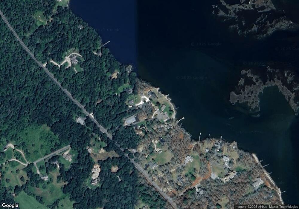
Map
Nearby Homes
- 19 Seabury Ln
- 1580 Main Rd
- 1749 Main Rd
- 255 John Dyer Rd
- 245 John Dyer Rd
- 1346 Main Rd Unit B
- 1881 Main Rd
- 17 Quail Trail
- 189 Brayton Point Rd
- 1702J Drift Rd
- 1702 Drift Rd
- 116 Amy Hart Path
- 505 Long Hwy
- 304 Brayton Point Rd
- 101 Adamsville Rd
- 184 Field Stone Ln
- 90 Two Rod Rd
- 83 Long Hwy
- 99 Sylvia Ln
- 225 Hixbridge Rd
- 370 River Rd Unit 370A
- 378 River Rd Unit 380
- 362 River Rd
- 388 River Rd
- 390 River Rd
- 394 River Rd
- 394/398 River Rd
- 342A River Rd
- 342 River Rd
- 342 River Rd
- 398 River Rd
- 408 River Rd
- 175 River Rd
- 0 Great Island River Rd Unit 30762943
- 412 River Rd
- 395 River Rd
- 375 River Rd
- 424 River Rd
- 416 River Rd
- 401 River Rd