374 Road T Clarkson, NE 68629
Estimated Value: $329,000 - $462,295
4
Beds
2
Baths
1,720
Sq Ft
$223/Sq Ft
Est. Value
About This Home
This home is located at 374 Road T, Clarkson, NE 68629 and is currently estimated at $382,765, approximately $222 per square foot. 374 Road T is a home located in Colfax County with nearby schools including Leigh Elementary School and Leigh High School.
Ownership History
Date
Name
Owned For
Owner Type
Purchase Details
Closed on
Dec 10, 2019
Sold by
Engelbart Roger and Engelbart Lynn
Bought by
Urban Thomas J
Current Estimated Value
Home Financials for this Owner
Home Financials are based on the most recent Mortgage that was taken out on this home.
Original Mortgage
$262,500
Interest Rate
3.7%
Mortgage Type
Commercial
Create a Home Valuation Report for This Property
The Home Valuation Report is an in-depth analysis detailing your home's value as well as a comparison with similar homes in the area
Home Values in the Area
Average Home Value in this Area
Purchase History
| Date | Buyer | Sale Price | Title Company |
|---|---|---|---|
| Urban Thomas J | -- | None Available |
Source: Public Records
Mortgage History
| Date | Status | Borrower | Loan Amount |
|---|---|---|---|
| Previous Owner | Urban Thomas J | $262,500 |
Source: Public Records
Tax History Compared to Growth
Tax History
| Year | Tax Paid | Tax Assessment Tax Assessment Total Assessment is a certain percentage of the fair market value that is determined by local assessors to be the total taxable value of land and additions on the property. | Land | Improvement |
|---|---|---|---|---|
| 2025 | $2,684 | $270,095 | $78,520 | $191,575 |
| 2024 | $2,684 | $318,565 | $57,200 | $261,365 |
| 2023 | $3,739 | $304,530 | $57,200 | $247,330 |
| 2022 | $3,226 | $242,830 | $57,200 | $185,630 |
| 2021 | $2,356 | $186,580 | $47,200 | $139,380 |
| 2020 | $2,223 | $179,695 | $47,200 | $132,495 |
| 2019 | $1,792 | $153,285 | $33,320 | $119,965 |
| 2018 | $1,621 | $144,625 | $33,320 | $111,305 |
| 2017 | $1,565 | $139,905 | $28,600 | $111,305 |
| 2016 | $1,380 | $123,925 | $28,600 | $95,325 |
| 2015 | $1,355 | $123,925 | $28,600 | $95,325 |
| 2014 | $2,007 | $119,295 | $23,970 | $95,325 |
Source: Public Records
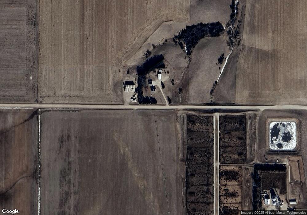
Map
Nearby Homes
- 335 E Short St
- 219 E Short St
- 111 Ash St
- 127 N Oak St
- 237 W 2nd St
- 325 N Main St
- 517 W 3rd St
- 0 See Legal Address- Stanton Parcel 3740 03 Unit 250844
- 223 S 6th St
- 711 Main St
- 218 N 6th St
- 30166 190th Ave
- Lot 9 & 10 Blk 1 Lincoln
- 00 1206120
- 203 Maple St
- 51636 280th Ave
- 301 Main St
- 306 N 5th St
- 4747 Highland Ct
- 805 Maple St