3740 Sampson Rd Camden, MI 49232
Estimated Value: $351,000 - $594,000
4
Beds
--
Bath
2,048
Sq Ft
$230/Sq Ft
Est. Value
About This Home
This home is located at 3740 Sampson Rd, Camden, MI 49232 and is currently estimated at $471,337, approximately $230 per square foot. 3740 Sampson Rd is a home located in Hillsdale County with nearby schools including Camden-Frontier High School and Camden-Frontier K-8 School.
Ownership History
Date
Name
Owned For
Owner Type
Purchase Details
Closed on
Jul 30, 2019
Sold by
Steury Adam R and Steury Maggie B
Bought by
Miller Michael D and Miller Sylvia G
Current Estimated Value
Home Financials for this Owner
Home Financials are based on the most recent Mortgage that was taken out on this home.
Original Mortgage
$330,000
Outstanding Balance
$290,022
Interest Rate
3.87%
Mortgage Type
USDA
Estimated Equity
$181,315
Purchase Details
Closed on
Sep 22, 2010
Sold by
Delagrange Ben H and Delagrange Lavina
Bought by
Steury Adam R and Steury Maggie B
Home Financials for this Owner
Home Financials are based on the most recent Mortgage that was taken out on this home.
Original Mortgage
$175,000
Interest Rate
4.37%
Mortgage Type
Purchase Money Mortgage
Purchase Details
Closed on
Apr 25, 2000
Sold by
Delagrange Henry W and Delagrange Mary A
Bought by
Krasny Michael M
Purchase Details
Closed on
Nov 24, 1986
Bought by
Delagrange Henry W and Delagrange Mary A
Create a Home Valuation Report for This Property
The Home Valuation Report is an in-depth analysis detailing your home's value as well as a comparison with similar homes in the area
Home Values in the Area
Average Home Value in this Area
Purchase History
| Date | Buyer | Sale Price | Title Company |
|---|---|---|---|
| Miller Michael D | $330,000 | Public Title Co | |
| Steury Adam R | $205,000 | Midstate Title Agency | |
| Krasny Michael M | $214,000 | -- | |
| Delagrange Henry W | $59,000 | -- |
Source: Public Records
Mortgage History
| Date | Status | Borrower | Loan Amount |
|---|---|---|---|
| Open | Miller Michael D | $330,000 | |
| Previous Owner | Steury Adam R | $175,000 |
Source: Public Records
Tax History Compared to Growth
Tax History
| Year | Tax Paid | Tax Assessment Tax Assessment Total Assessment is a certain percentage of the fair market value that is determined by local assessors to be the total taxable value of land and additions on the property. | Land | Improvement |
|---|---|---|---|---|
| 2025 | $1,527 | $230,200 | $0 | $0 |
| 2024 | $741 | $207,000 | $0 | $0 |
| 2023 | $706 | $183,600 | $0 | $0 |
| 2022 | $1,453 | $168,000 | $0 | $0 |
| 2021 | $1,412 | $166,600 | $0 | $0 |
| 2020 | $1,432 | $187,200 | $0 | $0 |
| 2019 | $1,606 | $174,900 | $0 | $0 |
| 2018 | $1,534 | $153,000 | $0 | $0 |
| 2017 | $1,489 | $158,700 | $0 | $0 |
| 2016 | $1,473 | $143,100 | $0 | $0 |
| 2015 | $594 | $143,100 | $0 | $0 |
| 2013 | $576 | $152,940 | $0 | $0 |
| 2012 | $562 | $138,360 | $0 | $0 |
Source: Public Records
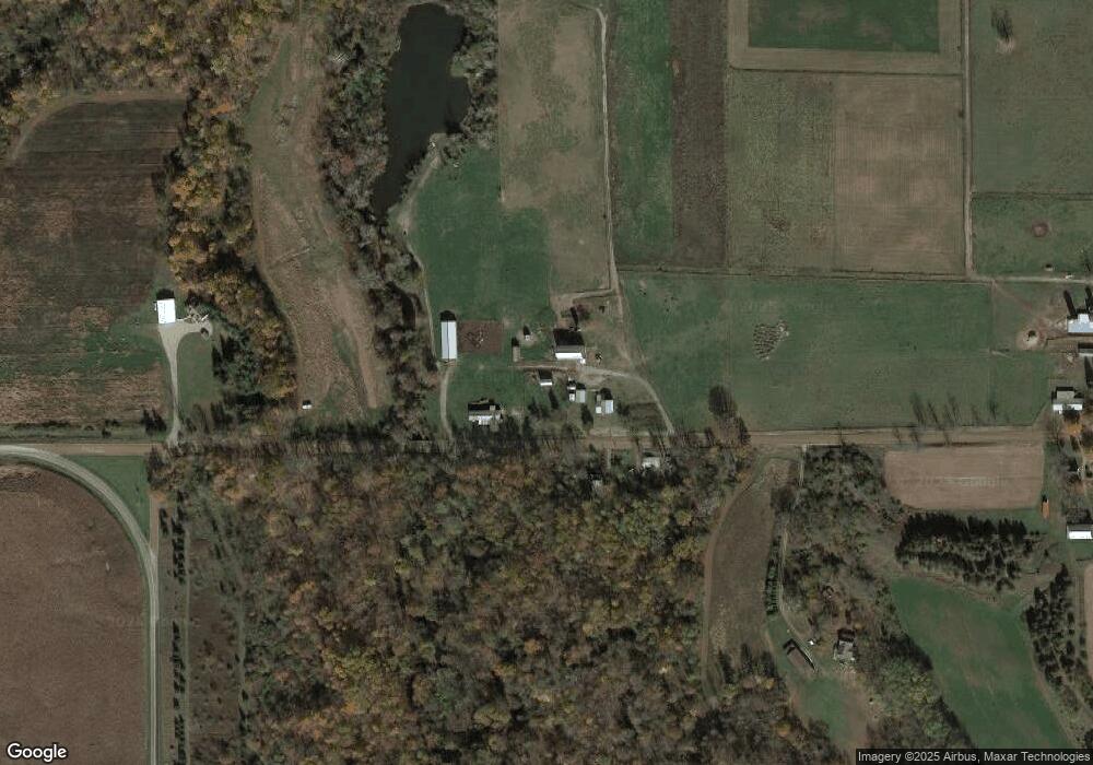
Map
Nearby Homes
- 14934 Heather Ct
- 0 W Territorial Rd Unit 25043960
- 0 W Territorial Rd Unit 11603977
- 14364 Horn Dr
- 13551 Hillsdale Rd
- 623-624 Yuma Trail
- 988-989 Seneca Dr
- 107 Mary St
- 600 Seneca Dr
- 207 Modoc Trail
- 0 Pontiac Trail Unit 10001711
- 213 Navajo Trail
- 638 Seneca Dr
- 234 Seneca Dr
- 155 Navajo Trail
- 131 Choctaw Trail
- 6524 W Montgomery Rd
- 145 Lumbee Ln
- 0 Dimmers Rd
- 9791 S Hillsdale Rd
- 3711 Sampson Rd
- 4126 Sampson Rd
- 3689 Sampson Rd
- 14235 Carpenter Rd
- 3480 Sampson Rd
- 3531 Sampson Rd
- 4211 Sampson Rd
- 14251 Carpenter Rd
- 13751 Carpenter Rd
- 14243 Carpenter Rd
- 3371 Sampson Rd
- 3440 Sampson Rd
- 3405 Sampson Rd
- 4331 Sampson Rd
- 3160 Sampson Rd
- 13752 Cambria Rd
- 3091 Sampson Rd
- 14591 Carpenter Rd
- 13360 Carpenter Rd
- 14740 Carpenter Rd