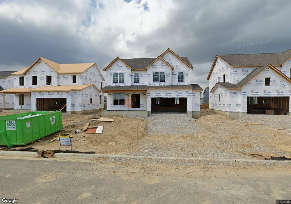
3742 Mantle Dr Powell, OH 43065
Liberty Township NeighborhoodEstimated Value: $557,910 - $564,000
4
Beds
3
Baths
2,319
Sq Ft
$242/Sq Ft
Est. Value
About This Home
This home is located at 3742 Mantle Dr, Powell, OH 43065 and is currently estimated at $561,978, approximately $242 per square foot. 3742 Mantle Dr is a home located in Delaware County with nearby schools including Indian Springs Elementary School, Hyatts Middle School, and Olentangy Liberty High School.
Ownership History
Date
Name
Owned For
Owner Type
Purchase Details
Closed on
Nov 16, 2022
Sold by
M/I Homes Of Central Ohio Llc
Bought by
Kumarasamy Madheswaran
Current Estimated Value
Home Financials for this Owner
Home Financials are based on the most recent Mortgage that was taken out on this home.
Original Mortgage
$462,000
Outstanding Balance
$447,674
Interest Rate
6.95%
Mortgage Type
New Conventional
Estimated Equity
$114,304
Purchase Details
Closed on
Nov 15, 2022
Sold by
M/I Homes Of Central Ohio Llc
Bought by
Kumarasamy Madheswaran
Home Financials for this Owner
Home Financials are based on the most recent Mortgage that was taken out on this home.
Original Mortgage
$462,000
Outstanding Balance
$447,674
Interest Rate
6.95%
Mortgage Type
New Conventional
Estimated Equity
$114,304
Create a Home Valuation Report for This Property
The Home Valuation Report is an in-depth analysis detailing your home's value as well as a comparison with similar homes in the area
Home Values in the Area
Average Home Value in this Area
Purchase History
| Date | Buyer | Sale Price | Title Company |
|---|---|---|---|
| Kumarasamy Madheswaran | $531,600 | Transohio Residential Title | |
| Kumarasamy Madheswaran | $531,600 | Transohio Residential Title |
Source: Public Records
Mortgage History
| Date | Status | Borrower | Loan Amount |
|---|---|---|---|
| Open | Kumarasamy Madheswaran | $462,000 | |
| Closed | Kumarasamy Madheswaran | $462,000 |
Source: Public Records
Tax History Compared to Growth
Tax History
| Year | Tax Paid | Tax Assessment Tax Assessment Total Assessment is a certain percentage of the fair market value that is determined by local assessors to be the total taxable value of land and additions on the property. | Land | Improvement |
|---|---|---|---|---|
| 2024 | $9,640 | $167,230 | $29,750 | $137,480 |
| 2023 | $9,609 | $167,230 | $29,750 | $137,480 |
| 2022 | $2,043 | $26,780 | $26,780 | $0 |
| 2021 | $0 | $0 | $0 | $0 |
Source: Public Records
Map
Nearby Homes
- 6859 Dulles Dr
- 6781 Dulles Dr
- 6506 White Star Dr
- 6425 White Star Dr
- 6473 White Star Dr
- 6465 White Star Dr
- 6445 White Star Dr
- 7094 Unitas Loop
- 7074 Unitas Loop
- 6507 White Star Dr
- 7080 Unitas Loop
- 7153 Unitas Loop
- 7088 Unitas Loop
- 7032 Unitas Loop
- 3682 Eagles Landing Dr
- 3809 Shoal Way
- 6523 White Star Dr
- 3803 Shoal Way
- 3769 Shoal Way
- 7042 Celebration Dr