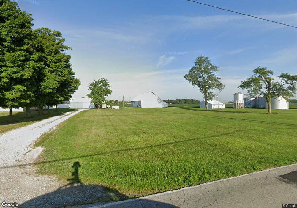
3744 S 575 E Whitestown, IN 46075
Estimated Value: $363,000
3
Beds
1
Bath
2,282
Sq Ft
$159/Sq Ft
Est. Value
About This Home
This home is located at 3744 S 575 E, Whitestown, IN 46075 and is currently estimated at $363,000, approximately $159 per square foot. 3744 S 575 E is a home located in Boone County with nearby schools including Perry Worth Elementary School, Lebanon Middle School, and Lebanon Senior High School.
Ownership History
Date
Name
Owned For
Owner Type
Purchase Details
Closed on
Aug 23, 2017
Sold by
Saunders Traci and Peabody Harold E
Bought by
Peabody Family Farm Llc
Current Estimated Value
Purchase Details
Closed on
May 29, 2013
Sold by
Peadody Harold E and The Harold E Peabody Trust
Bought by
The Board Of Commissioners Of Boone Coun
Purchase Details
Closed on
Mar 23, 2013
Sold by
Peabody Harold E and Peabody Madalyn Peabody
Bought by
Saunders Traci and Peabody Gary Lynn
Create a Home Valuation Report for This Property
The Home Valuation Report is an in-depth analysis detailing your home's value as well as a comparison with similar homes in the area
Home Values in the Area
Average Home Value in this Area
Purchase History
| Date | Buyer | Sale Price | Title Company |
|---|---|---|---|
| Peabody Family Farm Llc | -- | None Available | |
| The Board Of Commissioners Of Boone Coun | -- | None Available | |
| Saunders Traci | -- | None Available |
Source: Public Records
Tax History Compared to Growth
Tax History
| Year | Tax Paid | Tax Assessment Tax Assessment Total Assessment is a certain percentage of the fair market value that is determined by local assessors to be the total taxable value of land and additions on the property. | Land | Improvement |
|---|---|---|---|---|
| 2025 | $8,142 | $211,200 | $211,200 | $0 |
| 2024 | $8,142 | $352,600 | $352,600 | $0 |
| 2023 | $18,639 | $787,700 | $584,200 | $203,500 |
| 2022 | $18,024 | $717,500 | $467,800 | $249,700 |
| 2021 | $14,071 | $588,800 | $406,100 | $182,700 |
| 2020 | $13,938 | $580,100 | $403,100 | $177,000 |
| 2019 | $15,331 | $653,500 | $485,300 | $168,200 |
| 2018 | $15,290 | $659,700 | $500,100 | $159,600 |
| 2017 | $17,009 | $727,700 | $570,300 | $157,400 |
| 2016 | $19,089 | $818,100 | $673,000 | $145,100 |
| 2014 | $18,110 | $803,400 | $702,700 | $100,700 |
| 2013 | $16,117 | $710,000 | $609,300 | $100,700 |
Source: Public Records
Map
Nearby Homes
- 3610 Duncan Ct
- 5678 Harper Dr
- 5708 Harper Dr
- 3575 Sugar Grove Dr
- Roxbury II Plan at Peabody Farms West - Peabody Farms West Cottage
- Ironwood Plan at Peabody Farms West - Peabody Farms West Venture
- Trenton II Plan at Peabody Farms West - Peabody Farms West Cottage
- Broadmoor Plan at Peabody Farms West - Peabody Farms West Venture
- 3550 Sugar Grove Dr
- 5925 Sterling Dr
- 2543 Lamar Dr
- 3453 Sugar Grove Dr
- 3922 Sterling Dr
- 3456 Sugar Grove Dr
- 3888 Riverstone Dr
- 3902 Riverstone Dr
- 3408 Sugar Grove Dr
- 3784 Dusty Sands Rd
- 3421 Firethorn Dr
- 3743 Indigo Blue Blvd
- 5722 Harper Dr Unit 38325821
- 5722 Harper Dr Unit 38265287
- 3956 S 575 E
- 3478 S 575 E
- 5790 Sunrise Way Unit ID1228595P
- 6901 E State Road 32
- 6830 Seattle Slew Dr
- 6761 Seattle Slew Dr
- 6748 Seattle Slew Dr
- 6850 Seattle Slew Dr
- 6838 Seattle Slew Dr
- 6754 Seattle Slew Dr
- 6918 Seattle Slew Dr
- 2564 Barstow Dr
- 2573 Plano Dr
- 6907 Seattle Slew Dr
- 6913 Seattle Slew Dr
- 2557 Lamar Dr
- 6056 Madera Dr
- 2548 Lamar Dr