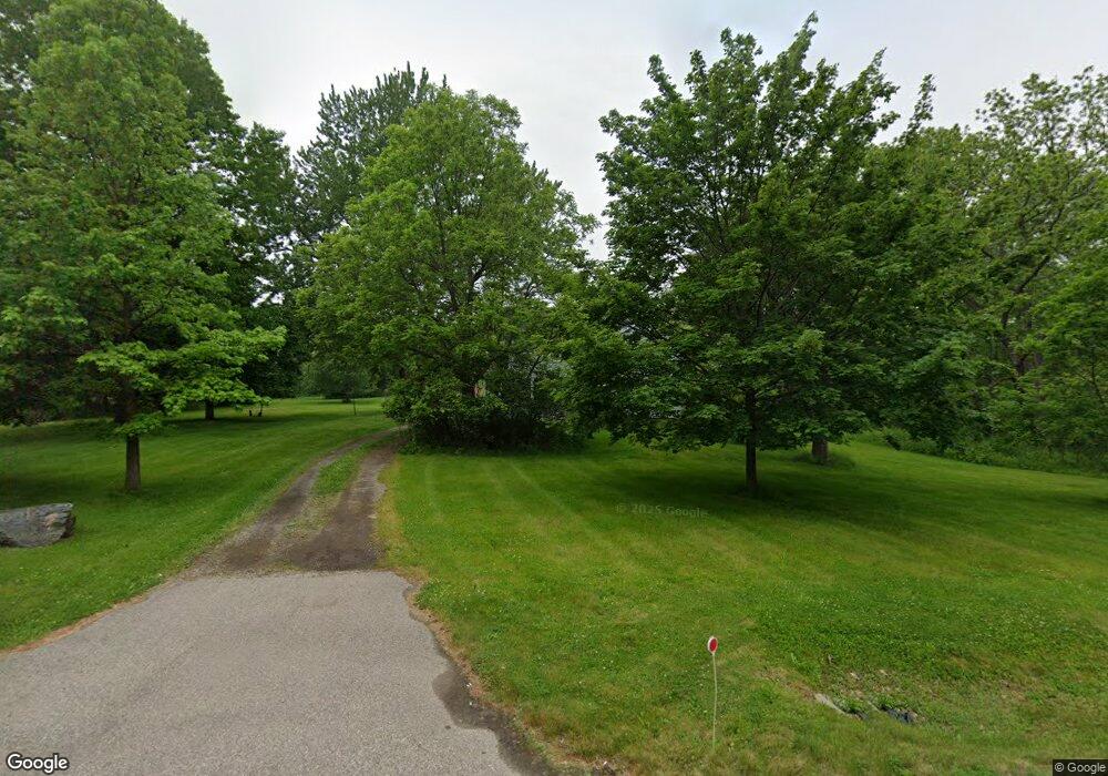
3745 N Squirrel Rd Auburn Hills, MI 48326
Estimated Value: $301,792 - $498,000
3
Beds
1
Bath
1,913
Sq Ft
$220/Sq Ft
Est. Value
About This Home
This home is located at 3745 N Squirrel Rd, Auburn Hills, MI 48326 and is currently estimated at $419,948, approximately $219 per square foot. 3745 N Squirrel Rd is a home located in Oakland County with nearby schools including Rogers Elementary, Pontiac Middle School, and Pontiac High School.
Ownership History
Date
Name
Owned For
Owner Type
Purchase Details
Closed on
Nov 12, 2013
Sold by
Foster Richard L
Bought by
Foster Marilyn J and Marilyn J Foster Revocable Trust
Current Estimated Value
Purchase Details
Closed on
May 22, 2003
Sold by
Foster Marilyn J and Tack Janet L
Bought by
Foster Marilyn J
Purchase Details
Closed on
Feb 2, 2002
Sold by
Foster Richard L
Bought by
Richard L Foster Tr
Purchase Details
Closed on
Jan 12, 2002
Sold by
Mildred I Foster Tr
Bought by
Foster Richard L
Create a Home Valuation Report for This Property
The Home Valuation Report is an in-depth analysis detailing your home's value as well as a comparison with similar homes in the area
Home Values in the Area
Average Home Value in this Area
Purchase History
| Date | Buyer | Sale Price | Title Company |
|---|---|---|---|
| Foster Marilyn J | -- | None Available | |
| Foster Marilyn J | -- | -- | |
| Foster Marilyn J | -- | Philip R Seaver Title Co Inc | |
| Richard L Foster Tr | -- | -- | |
| Foster Richard L | -- | -- |
Source: Public Records
Tax History Compared to Growth
Tax History
| Year | Tax Paid | Tax Assessment Tax Assessment Total Assessment is a certain percentage of the fair market value that is determined by local assessors to be the total taxable value of land and additions on the property. | Land | Improvement |
|---|---|---|---|---|
| 2024 | $710 | $113,560 | $0 | $0 |
| 2023 | $1,355 | $109,370 | $0 | $0 |
| 2022 | $1,864 | $104,270 | $0 | $0 |
| 2021 | $2,803 | $99,330 | $0 | $0 |
| 2020 | $1,700 | $107,050 | $0 | $0 |
| 2019 | $2,889 | $152,930 | $0 | $0 |
| 2018 | $1,898 | $146,780 | $0 | $0 |
| 2017 | $2,767 | $100,480 | $0 | $0 |
| 2016 | $2,751 | $92,420 | $0 | $0 |
| 2015 | -- | $93,980 | $0 | $0 |
| 2014 | -- | $85,260 | $0 | $0 |
| 2011 | -- | $82,120 | $0 | $0 |
Source: Public Records
Map
Nearby Homes
- 4035 Hillsdale Dr Unit 275
- 3534 Riverside Dr Unit 141
- 3780 Bald Mountain Rd
- 3640 Camden Ct
- 3634 Camden Ct
- 3633 Thornwood Dr
- 3095 Bridgewater Rd Unit 30
- 3057 Bridgewater Rd
- 3879 Teakwood Ln
- 3111 Ramzi Ln
- 3674 Merriweather Ln
- 3101 Elstead St
- 423 Silvervale Dr
- 2638 Patrick Henry Rd
- 2530 Patrick Henry St
- 1906 Independence Ct
- 3164 Bookham Cir
- 3160 Bookham Cir
- 3639 Heatherwood Ct
- 5700 Rolling Hills Dr
- 3725 N Squirrel Rd
- 3800 Hillsdale Dr Unit 252
- 3804 Hillsdale Dr Unit 254
- 3802 Hillsdale Dr Unit 253
- 3806 Hillsdale Dr Unit 255
- 4044 Hillsdale Dr Unit 251
- 3808 Hillsdale Dr
- 3810 Hillsdale Dr
- 4039 Hillsdale Dr Unit 277
- 4042 Hillsdale Dr Unit 250
- 3805 Hillsdale Dr Unit 278
- 4037 Hillsdale Dr Unit 276
- 3807 Hillsdale Dr
- 4040 Hillsdale Dr Unit 249
- 3811 Hillsdale Dr
- 4038 Hillsdale Dr Unit Bldg-Unit
- 4038 Hillsdale Dr Unit 248
- 3813 Hillsdale Dr
- 4036 Hillsdale Dr Unit 247
- 4031 Hillsdale Dr