Estimated Value: $304,000 - $368,380
4
Beds
2
Baths
2,712
Sq Ft
$124/Sq Ft
Est. Value
About This Home
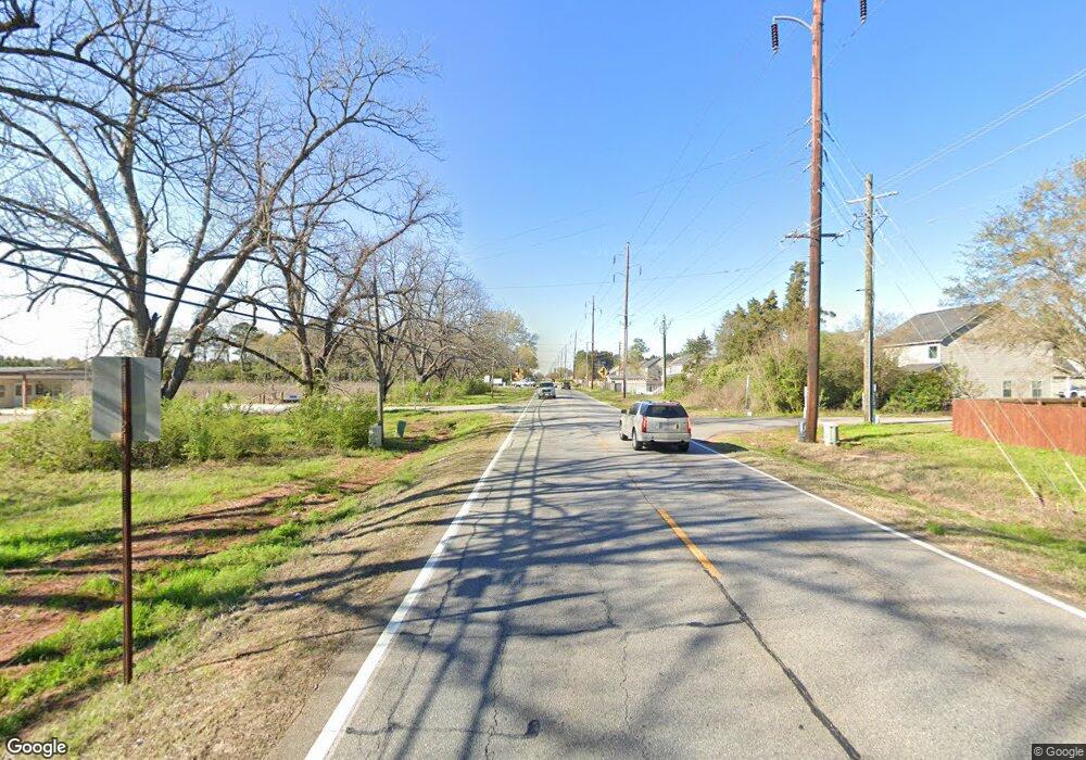
This home is located at 3745 Us Highway 41 N, Byron, GA 31008 and is currently estimated at $335,793, approximately $123 per square foot. 3745 Us Highway 41 N is a home located in Houston County with nearby schools including Eagle Springs Elementary School, Thomson Middle School, and Northside High School.
Ownership History
Date
Name
Owned For
Owner Type
Purchase Details
Closed on
Jun 10, 1994
Sold by
Pratt Jerry A
Bought by
Goodwin Jimmy L and Goodwin Barbara D
Current Estimated Value
Purchase Details
Closed on
Oct 28, 1986
Sold by
Pratt Albert William Estate
Bought by
Pratt Pattie Stalnaker
Purchase Details
Closed on
Sep 9, 1979
Sold by
Pratt Jerry Albert
Bought by
Pratt Albert William
Purchase Details
Closed on
Aug 7, 1941
Bought by
Pratt Albert William
Create a Home Valuation Report for This Property
The Home Valuation Report is an in-depth analysis detailing your home's value as well as a comparison with similar homes in the area
Home Values in the Area
Average Home Value in this Area
Purchase History
| Date | Buyer | Sale Price | Title Company |
|---|---|---|---|
| Goodwin Jimmy L | -- | -- | |
| Pratt Jerry A | -- | -- | |
| Pratt Pattie Stalnaker | -- | -- | |
| Pratt Albert William | -- | -- | |
| Pratt Albert William | -- | -- |
Source: Public Records
Tax History
| Year | Tax Paid | Tax Assessment Tax Assessment Total Assessment is a certain percentage of the fair market value that is determined by local assessors to be the total taxable value of land and additions on the property. | Land | Improvement |
|---|---|---|---|---|
| 2024 | $2,270 | $104,000 | $53,920 | $50,080 |
| 2023 | $2,005 | $92,040 | $52,080 | $39,960 |
| 2022 | $1,974 | $90,760 | $52,080 | $38,680 |
| 2021 | $1,760 | $81,520 | $45,760 | $35,760 |
| 2020 | $1,175 | $57,240 | $27,200 | $30,040 |
| 2019 | $1,175 | $57,240 | $27,200 | $30,040 |
| 2018 | $1,175 | $57,240 | $27,200 | $30,040 |
| 2017 | $1,176 | $57,240 | $27,200 | $30,040 |
| 2016 | $1,178 | $57,240 | $27,200 | $30,040 |
| 2015 | $1,178 | $57,240 | $27,200 | $30,040 |
| 2014 | -- | $57,240 | $27,200 | $30,040 |
| 2013 | -- | $57,240 | $27,200 | $30,040 |
Source: Public Records
Map
Nearby Homes
- 175 Arbor Creek
- 120 Marlin Terrace
- 108 Amelia Dr
- 104 Arbor Creek
- 184 Amelia Dr
- 119 Sourwood Ln
- 104 Sourwood Ln
- 184 Giles Rd
- 207 Gleneagle Dr
- 221 Hanover Dr
- 109 Belfair Dr
- 119 Bulloch Ct
- 118 Bulloch Ct
- 99 Bermuda Dr
- 706 Georgian Walk
- 108 Chatham Ct
- 721 Georgian Walk
- 732 Georgian Walk
- 98 Coastal Dr
- 214 Coastal Dr
- 206 Centennial Dr
- 212 Centennial Dr
- 214 Centennial Dr
- 209 Centennial Dr
- 1338 Dunbar Rd
- 207 Centennial Dr
- 1340 Dunbar Rd
- 216 Centennial Dr
- 213 Centennial Dr
- 1334 Dunbar Rd
- 104 Liberty Ln
- 103 Ceremonial Ct
- 326 Cavalry Ct
- 102 Liberty Ln
- 1402 Dunbar Rd
- 200 Pulaski Ct
- 3801 N Hwy
- 101 Centennial Dr
- 324 Cavalry Ct
- 109 Marlin Terrace
Your Personal Tour Guide
Ask me questions while you tour the home.
