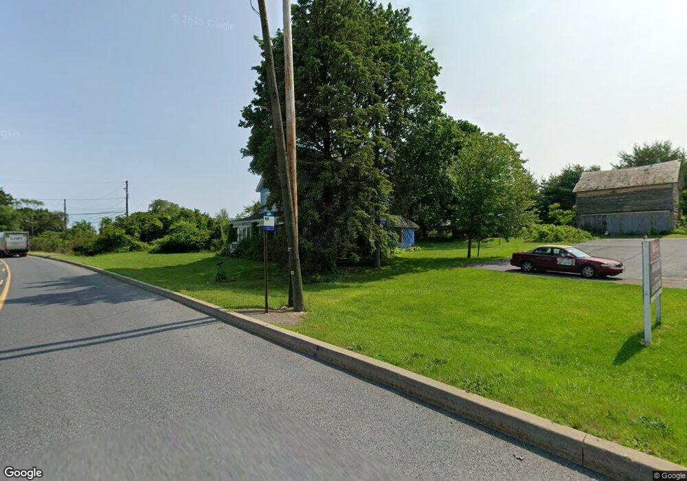
3746 Route 309 Orefield, PA 18069
North Whitehall Township NeighborhoodEstimated Value: $322,000 - $645,000
5
Beds
2
Baths
2,714
Sq Ft
$174/Sq Ft
Est. Value
About This Home
This home is located at 3746 Route 309, Orefield, PA 18069 and is currently estimated at $471,255, approximately $173 per square foot. 3746 Route 309 is a home located in Lehigh County with nearby schools including Parkland Kernsville Elementary School, Orefield Middle School, and Parkland High School.
Ownership History
Date
Name
Owned For
Owner Type
Purchase Details
Closed on
May 29, 2024
Sold by
Orefield Cold Storage & Distribution Cen and Sco Holding Inc
Bought by
Route 309 Holdings Llc
Current Estimated Value
Purchase Details
Closed on
May 19, 2000
Sold by
Miller Carl and Miller Betty
Bought by
Orefield Cold Storage & Distribution Cen
Purchase Details
Closed on
Aug 13, 1991
Bought by
Miller Terry F Estate
Create a Home Valuation Report for This Property
The Home Valuation Report is an in-depth analysis detailing your home's value as well as a comparison with similar homes in the area
Home Values in the Area
Average Home Value in this Area
Purchase History
| Date | Buyer | Sale Price | Title Company |
|---|---|---|---|
| Route 309 Holdings Llc | $155,000 | None Listed On Document | |
| Orefield Cold Storage & Distribution Cen | $251,000 | -- | |
| Miller Terry F Estate | $185,000 | -- |
Source: Public Records
Tax History Compared to Growth
Tax History
| Year | Tax Paid | Tax Assessment Tax Assessment Total Assessment is a certain percentage of the fair market value that is determined by local assessors to be the total taxable value of land and additions on the property. | Land | Improvement |
|---|---|---|---|---|
| 2025 | $5,201 | $234,300 | $77,600 | $156,700 |
| 2024 | $4,892 | $234,300 | $77,600 | $156,700 |
| 2023 | $4,752 | $234,300 | $77,600 | $156,700 |
| 2022 | $4,731 | $234,300 | $156,700 | $77,600 |
| 2021 | $4,731 | $234,300 | $77,600 | $156,700 |
| 2020 | $4,731 | $234,300 | $77,600 | $156,700 |
| 2019 | $4,606 | $234,300 | $77,600 | $156,700 |
| 2018 | $4,515 | $234,300 | $77,600 | $156,700 |
| 2017 | $4,449 | $234,300 | $77,600 | $156,700 |
| 2016 | -- | $234,300 | $77,600 | $156,700 |
| 2015 | -- | $234,300 | $77,600 | $156,700 |
| 2014 | -- | $234,300 | $77,600 | $156,700 |
Source: Public Records
Map
Nearby Homes
- 3739 Lindy Dr
- 3461 Wolf Pack Dr
- 3360 Woodlea Rd
- 3413 Cougar Cir
- 3256 Woodlea Rd
- 4403 Wolfs Crossing Rd
- 4332 Route 309
- 3054 Jordan Rd
- 3063 Jordan Rd
- 2845 Pacific Ave
- 2695 Apple Valley Estates Dr
- 4168 Orefield Rd
- 4482 Valley Green Dr Unit 37
- 4473 Valley Green Dr Unit 38
- 5053 Lilac Dr
- 2507 Rachael Ln
- 4450 Maple St
- Maverick Plan at Greenleaf Fields at Parkland
- Preakness Plan at Greenleaf Fields at Parkland
- Churchill Plan at Greenleaf Fields at Parkland
- 4601 York Dr
- 3752 Pennsylvania 309
- 4368 Cortland Dr
- 4615 Cortland Dr
- 3642 Mcintosh Dr
- 4609 York Dr
- 4600 York Dr
- 4623 Cortland Dr
- 3729 Mcintosh Dr
- 3721 Mcintosh Dr
- 4608 York Dr
- 3737 Mcintosh Dr
- 3636 Mcintosh Dr
- 3750 Mcintosh Dr
- 4622 Cortland Dr
- 4631 Cortland Dr
- 3639 Mcintosh Dr
- 3745 Mcintosh Dr
- 3630 Mcintosh Dr
- 3822 Mcintosh Dr