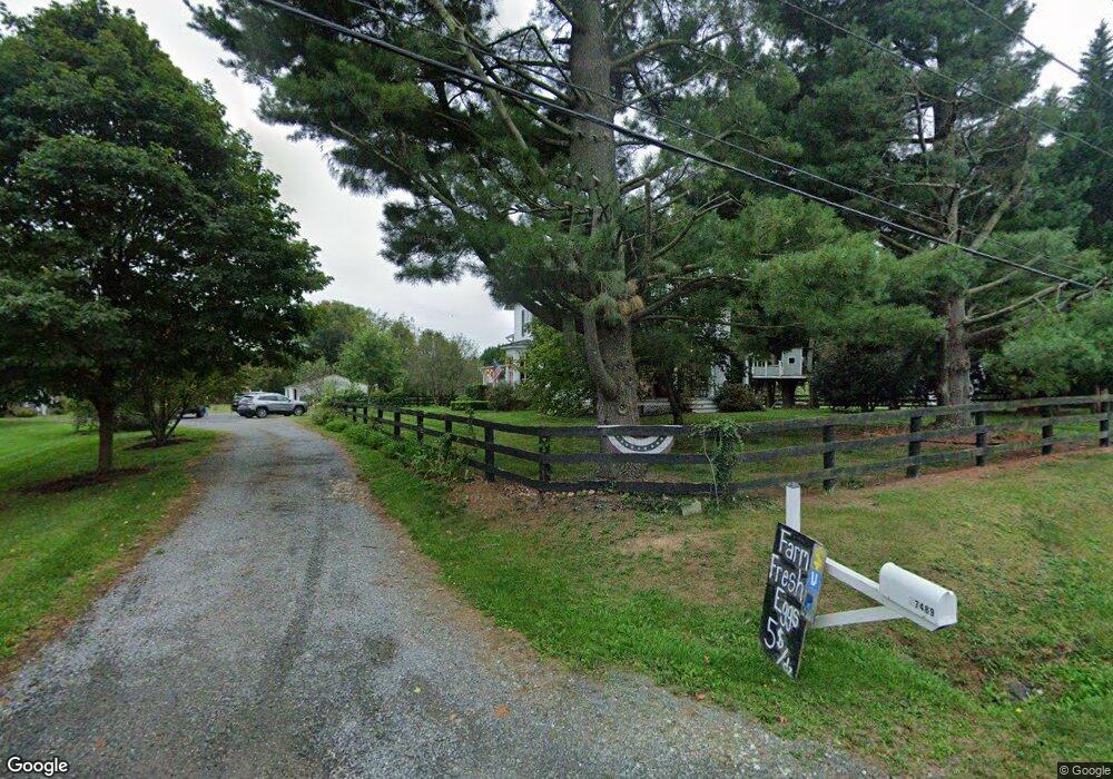
37489 E A St Purcellville, VA 20132
Estimated Value: $856,000 - $903,000
5
Beds
2
Baths
2,588
Sq Ft
$337/Sq Ft
Est. Value
About This Home
This home is located at 37489 E A St, Purcellville, VA 20132 and is currently estimated at $871,006, approximately $336 per square foot. 37489 E A St is a home located in Loudoun County with nearby schools including Emerick Elementary School, Blue Ridge Middle School, and Loudoun Valley High School.
Ownership History
Date
Name
Owned For
Owner Type
Purchase Details
Closed on
Jan 31, 2012
Sold by
Morgan Samuel M and Falknor Catherine M
Bought by
Edwards Blake H
Current Estimated Value
Home Financials for this Owner
Home Financials are based on the most recent Mortgage that was taken out on this home.
Original Mortgage
$417,000
Outstanding Balance
$286,098
Interest Rate
3.92%
Mortgage Type
New Conventional
Estimated Equity
$584,908
Create a Home Valuation Report for This Property
The Home Valuation Report is an in-depth analysis detailing your home's value as well as a comparison with similar homes in the area
Home Values in the Area
Average Home Value in this Area
Purchase History
| Date | Buyer | Sale Price | Title Company |
|---|---|---|---|
| Edwards Blake H | $467,000 | -- |
Source: Public Records
Mortgage History
| Date | Status | Borrower | Loan Amount |
|---|---|---|---|
| Open | Edwards Blake H | $417,000 |
Source: Public Records
Tax History
| Year | Tax Paid | Tax Assessment Tax Assessment Total Assessment is a certain percentage of the fair market value that is determined by local assessors to be the total taxable value of land and additions on the property. | Land | Improvement |
|---|---|---|---|---|
| 2025 | $6,435 | $770,650 | $279,700 | $490,950 |
| 2024 | $6,348 | $709,280 | $255,600 | $453,680 |
| 2023 | $6,240 | $713,130 | $196,800 | $516,330 |
| 2022 | $6,187 | $695,200 | $183,000 | $512,200 |
| 2021 | $5,217 | $532,330 | $153,000 | $379,330 |
| 2020 | $4,960 | $479,220 | $133,000 | $346,220 |
| 2019 | $4,922 | $470,970 | $133,000 | $337,970 |
| 2018 | $4,868 | $448,650 | $133,000 | $315,650 |
| 2017 | $4,885 | $434,260 | $133,000 | $301,260 |
| 2016 | $5,013 | $437,850 | $0 | $0 |
| 2015 | $4,808 | $290,570 | $0 | $290,570 |
| 2014 | $4,693 | $288,280 | $0 | $288,280 |
Source: Public Records
Map
Nearby Homes
- 37517 Bernardini Ct
- 37517 Bernardini Ct Unit 21
- 3 Springbury Dr
- 604 Elliot Dr
- 425 - 431 E St
- 341 E G St
- 118 Amalfi Ct
- 513 Gentlewood Square
- 325 Bill Brower Ct
- 37857 Alberts Farm Dr
- 150 S 20th St
- 311 Mcdaniel Dr
- 101 & 109 N 21st St
- 531 S Nursery Ave
- 17747 Silcott Springs Rd
- 140 S 26th St
- 200 S Orchard Dr
- 230 N Brewster Ln
- 110 W O St
- 115 W O St
- 37489 E A St
- 425 Crosman Ct
- 421 Crosman Ct
- 417 Crosman Ct
- 429 Crosman Ct
- 413 Crosman Ct
- 511 E A St
- 409 Crosman Ct
- 501 Crosman Ct
- 424 Crosman Ct
- 420 Crosman Ct
- 428 Crosman Ct
- 416 Crosman Ct
- 432 Crosman Ct
- 405 Crosman Ct
- 800 Valley Springs Dr
- 465 E A St
- 804 Valley Springs Dr
- 412 Crosman Ct
- 500 Crosman Ct
Your Personal Tour Guide
Ask me questions while you tour the home.