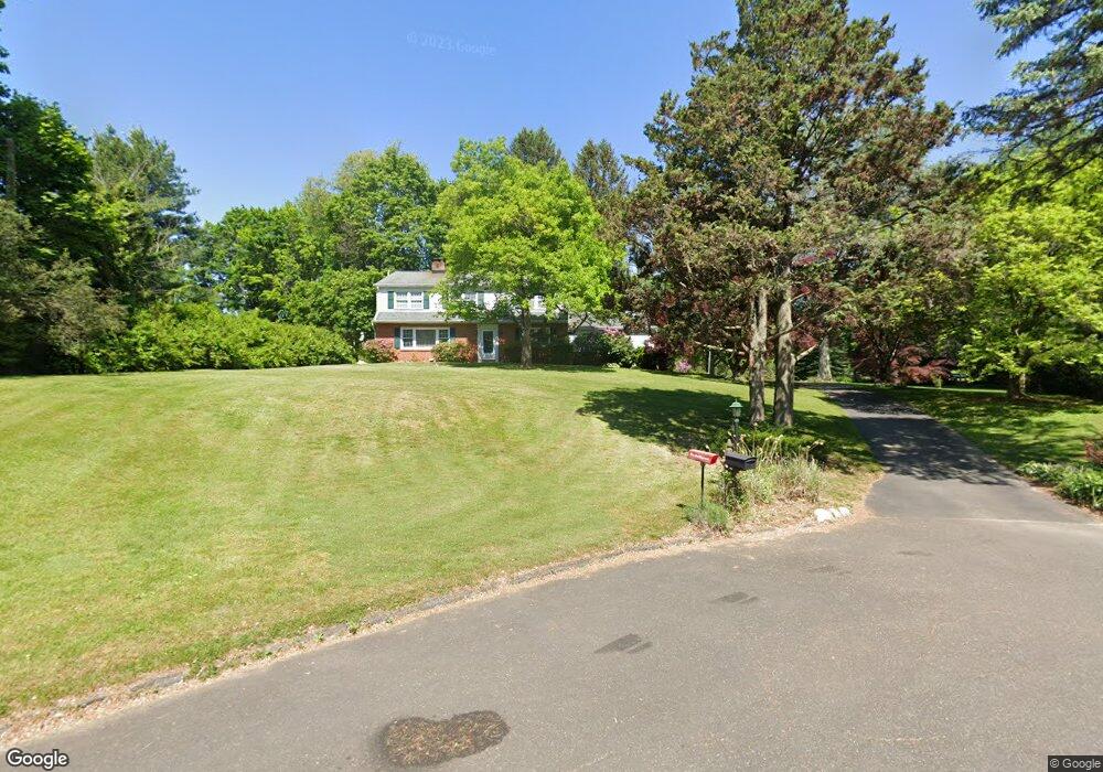
3749 Phillips Cir Doylestown, PA 18902
Estimated Value: $676,000 - $737,000
4
Beds
3
Baths
2,408
Sq Ft
$290/Sq Ft
Est. Value
About This Home
This home is located at 3749 Phillips Cir, Doylestown, PA 18902 and is currently estimated at $698,347, approximately $290 per square foot. 3749 Phillips Cir is a home located in Bucks County with nearby schools including Buckingham Elementary School, Holicong Middle School, and Central Bucks High School - East.
Ownership History
Date
Name
Owned For
Owner Type
Purchase Details
Closed on
Jan 22, 1999
Sold by
Henry David C and Wettach Audrey Lynn
Bought by
Perez Barry and Perez Anne
Current Estimated Value
Home Financials for this Owner
Home Financials are based on the most recent Mortgage that was taken out on this home.
Original Mortgage
$75,000
Outstanding Balance
$17,306
Interest Rate
6.7%
Estimated Equity
$681,041
Purchase Details
Closed on
Oct 16, 1997
Sold by
Henry David C and Wettach Audrey Lynn
Bought by
Henry David C and Wettach Audrey Lynn
Create a Home Valuation Report for This Property
The Home Valuation Report is an in-depth analysis detailing your home's value as well as a comparison with similar homes in the area
Home Values in the Area
Average Home Value in this Area
Purchase History
| Date | Buyer | Sale Price | Title Company |
|---|---|---|---|
| Perez Barry | $230,000 | -- | |
| Henry David C | -- | -- |
Source: Public Records
Mortgage History
| Date | Status | Borrower | Loan Amount |
|---|---|---|---|
| Open | Perez Barry | $75,000 |
Source: Public Records
Tax History
| Year | Tax Paid | Tax Assessment Tax Assessment Total Assessment is a certain percentage of the fair market value that is determined by local assessors to be the total taxable value of land and additions on the property. | Land | Improvement |
|---|---|---|---|---|
| 2025 | $5,796 | $35,600 | $10,600 | $25,000 |
| 2024 | $5,796 | $35,600 | $10,600 | $25,000 |
| 2023 | $5,600 | $35,600 | $10,600 | $25,000 |
| 2022 | $5,533 | $35,600 | $10,600 | $25,000 |
| 2021 | $5,466 | $35,600 | $10,600 | $25,000 |
| 2020 | $5,466 | $35,600 | $10,600 | $25,000 |
| 2019 | $5,431 | $35,600 | $10,600 | $25,000 |
| 2018 | $5,431 | $35,600 | $10,600 | $25,000 |
| 2017 | $5,386 | $35,600 | $10,600 | $25,000 |
| 2016 | $5,440 | $35,600 | $10,600 | $25,000 |
| 2015 | -- | $35,600 | $10,600 | $25,000 |
| 2014 | -- | $35,600 | $10,600 | $25,000 |
Source: Public Records
Map
Nearby Homes
- 3795 Route 202
- 2980 Yorkshire Rd
- 3889 Robin Rd
- 45 Creek Dr
- 000 Cherry Ln
- 607 S Chubb Dr
- 150 Watercrest Dr
- 223 Cherry Ln
- 152 Watercrest Dr
- 7 Mercer Gate Dr
- 563 Pebble Hill Rd
- 333 Lacey Ave Unit B9
- 146 E Court St
- 110 E Ashland St
- 2361 Turk Rd
- 85 E Oakland Ave
- 150 Selner Ln
- 236 Green St
- 69 E Oakland Ave
- 169 N Main St
- 3181 Berkshire Rd
- 3237 Berkshire Rd
- 3783 Route 202
- 3762 Phillips Cir
- 3758 Phillips Cir
- 3171 Berkshire Rd
- 3718 Route 202
- 3184 Berkshire Rd
- 3206 Berkshire Rd
- 3805 U S 202
- 3234 Berkshire Rd
- 3166 Berkshire Rd
- 3145 Berkshire Rd
- 3785 Lancaster Dr
- 3152 Berkshire Rd
- 3775 Lancaster Dr
- 3754 Buckingham Dr
- 3710 Anne Ln
- 3805 Route 202
- 3140 Berkshire Rd
Your Personal Tour Guide
Ask me questions while you tour the home.