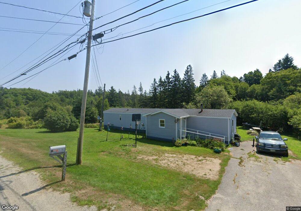
375 Airport Rd Stonington, ME 04681
Estimated Value: $91,000 - $218,000
--
Bed
--
Bath
--
Sq Ft
0.46
Acres
About This Home
This home is located at 375 Airport Rd, Stonington, ME 04681 and is currently estimated at $147,835. 375 Airport Rd is a home with nearby schools including Deer Isle-Stonington Elementary School, Deer Isle-Stonington High School, and The Heritage School.
Create a Home Valuation Report for This Property
The Home Valuation Report is an in-depth analysis detailing your home's value as well as a comparison with similar homes in the area
Home Values in the Area
Average Home Value in this Area
Tax History Compared to Growth
Tax History
| Year | Tax Paid | Tax Assessment Tax Assessment Total Assessment is a certain percentage of the fair market value that is determined by local assessors to be the total taxable value of land and additions on the property. | Land | Improvement |
|---|---|---|---|---|
| 2024 | $588 | $57,900 | $30,300 | $27,600 |
| 2023 | $630 | $40,500 | $20,200 | $20,300 |
| 2022 | $630 | $40,500 | $20,200 | $20,300 |
| 2021 | $636 | $40,500 | $20,200 | $20,300 |
| 2020 | $636 | $40,500 | $20,200 | $20,300 |
| 2019 | $0 | $40,500 | $20,200 | $20,300 |
| 2018 | $652 | $40,500 | $20,200 | $20,300 |
| 2017 | $4,469 | $40,500 | $20,200 | $20,300 |
| 2016 | $684 | $40,500 | $20,200 | $20,300 |
| 2015 | $695 | $40,500 | $20,200 | $20,300 |
| 2014 | $621 | $41,100 | $20,200 | $20,900 |
| 2013 | $583 | $41,100 | $20,200 | $20,900 |
Source: Public Records
Map
Nearby Homes
- 18 Davids Way
- 145 Stanley Field Rd
- 176 N Main St
- 27 Spofford Dr
- M3L66&66-2 Sunset Cross Rd
- 191 Sunset Cross Rd
- 17 Barbour Farm Rd
- 12-3 S Burnt Cove Rd
- 12-4 S Burnt Cove Rd
- 12-2 S Burnt Cove Rd
- 12-1 S Burnt Cove Rd
- 102 S Burnt Cove Rd
- 3-11-G Cat Cove Rd
- 32 Burnt Cove Rd
- 68 Main St Unit 3
- 51 Main St Unit A
- 643 Sunset Rd
- 36 Green Head Rd
- 36 Treasure Ln
- 36 Greenlaw District Rd