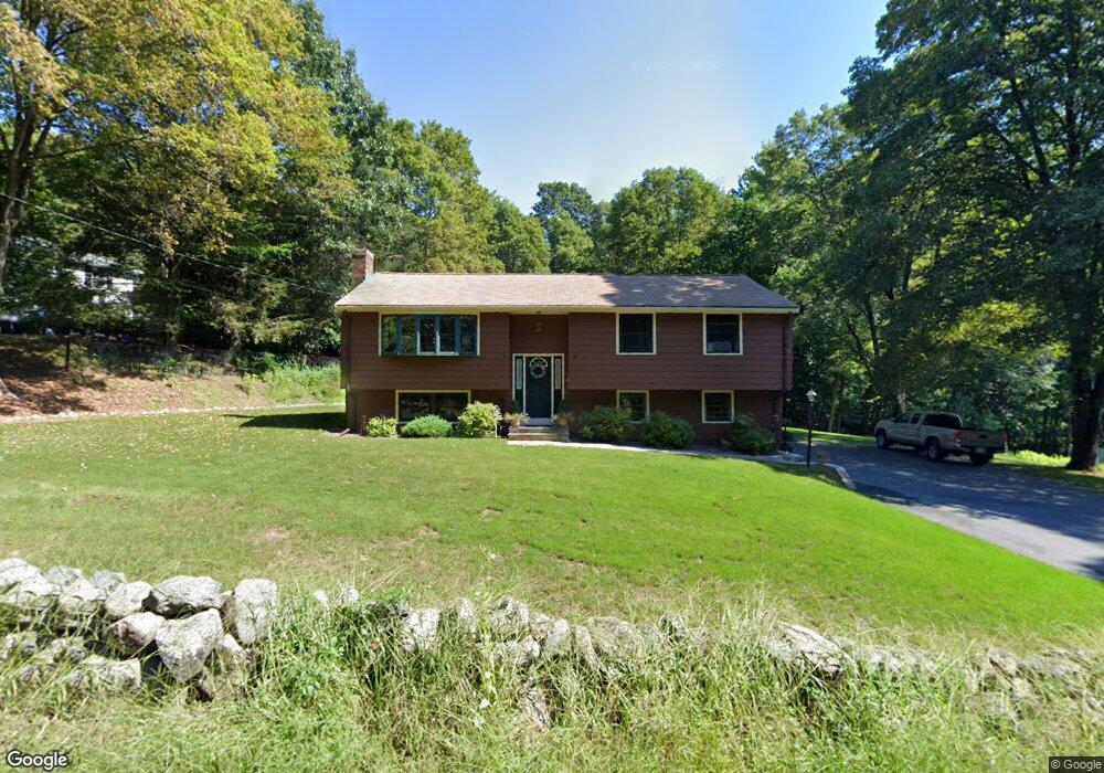
375 Brigham St Marlborough, MA 01752
Estimated Value: $590,720 - $644,000
3
Beds
2
Baths
1,408
Sq Ft
$441/Sq Ft
Est. Value
About This Home
This home is located at 375 Brigham St, Marlborough, MA 01752 and is currently estimated at $621,180, approximately $441 per square foot. 375 Brigham St is a home located in Middlesex County with nearby schools including Marlborough High School, Advanced Math & Science Academy, and New Covenant Christian School.
Ownership History
Date
Name
Owned For
Owner Type
Purchase Details
Closed on
Oct 31, 1996
Sold by
Mcgrath Suzanne B and Mcgrath William J
Bought by
Letendre Joseph and Letendre Marisa
Current Estimated Value
Home Financials for this Owner
Home Financials are based on the most recent Mortgage that was taken out on this home.
Original Mortgage
$155,800
Interest Rate
8.07%
Mortgage Type
Purchase Money Mortgage
Purchase Details
Closed on
Aug 31, 1989
Sold by
Warren William E
Bought by
Mcgrath William J
Home Financials for this Owner
Home Financials are based on the most recent Mortgage that was taken out on this home.
Original Mortgage
$156,000
Interest Rate
9.7%
Mortgage Type
Purchase Money Mortgage
Create a Home Valuation Report for This Property
The Home Valuation Report is an in-depth analysis detailing your home's value as well as a comparison with similar homes in the area
Home Values in the Area
Average Home Value in this Area
Purchase History
| Date | Buyer | Sale Price | Title Company |
|---|---|---|---|
| Letendre Joseph | $164,000 | -- | |
| Mcgrath William J | $179,900 | -- |
Source: Public Records
Mortgage History
| Date | Status | Borrower | Loan Amount |
|---|---|---|---|
| Open | Mcgrath William J | $150,000 | |
| Closed | Mcgrath William J | $155,800 | |
| Previous Owner | Mcgrath William J | $148,500 | |
| Previous Owner | Mcgrath William J | $156,000 |
Source: Public Records
Tax History Compared to Growth
Tax History
| Year | Tax Paid | Tax Assessment Tax Assessment Total Assessment is a certain percentage of the fair market value that is determined by local assessors to be the total taxable value of land and additions on the property. | Land | Improvement |
|---|---|---|---|---|
| 2025 | $5,409 | $548,600 | $232,100 | $316,500 |
| 2024 | $5,290 | $516,600 | $211,100 | $305,500 |
| 2023 | $5,555 | $481,400 | $182,500 | $298,900 |
| 2022 | $5,407 | $412,100 | $173,800 | $238,300 |
| 2021 | $422 | $382,300 | $144,900 | $237,400 |
| 2020 | $5,143 | $362,700 | $135,700 | $227,000 |
| 2019 | $5,048 | $358,800 | $135,200 | $223,600 |
| 2018 | $4,862 | $332,300 | $119,000 | $213,300 |
| 2017 | $4,858 | $317,100 | $119,400 | $197,700 |
| 2016 | $4,760 | $310,300 | $119,400 | $190,900 |
| 2015 | $4,334 | $275,000 | $123,000 | $152,000 |
Source: Public Records
Map
Nearby Homes
- 43 Stearns Rd
- 39 Desimone Dr
- 11 Whispering Brook Rd Unit 55
- 58 Walker St
- 8 Saint Mary's Way Unit 8
- 30 Broad St Unit 104
- 102 Liberty St
- 2 Adams St
- 30A Winter Ave
- 146 Framingham Rd
- 3 Madison St
- 76 Broad St
- 11 Paris St
- 144 Howe St
- 87 Neil St
- 61 Fairmount St Unit 11
- 115 W Main St
- lot 1 Sears Rd
- 32 Water St
- 111 Howe St