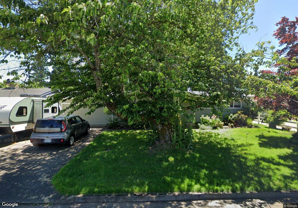
375 Cambridge St Springfield, OR 97477
North Springfield NeighborhoodEstimated Value: $440,124 - $476,000
3
Beds
2
Baths
1,653
Sq Ft
$278/Sq Ft
Est. Value
About This Home
This home is located at 375 Cambridge St, Springfield, OR 97477 and is currently estimated at $460,281, approximately $278 per square foot. 375 Cambridge St is a home located in Lane County with nearby schools including Guy Lee Elementary School, Hamlin Middle School, and Springfield High School.
Ownership History
Date
Name
Owned For
Owner Type
Purchase Details
Closed on
Nov 20, 2012
Sold by
Mclean Steven D
Bought by
Rutherford Jeremiah
Current Estimated Value
Home Financials for this Owner
Home Financials are based on the most recent Mortgage that was taken out on this home.
Original Mortgage
$171,770
Outstanding Balance
$118,045
Interest Rate
3.35%
Mortgage Type
FHA
Estimated Equity
$342,236
Purchase Details
Closed on
Oct 4, 2006
Sold by
Mclean Don C
Bought by
Mclean Donald C and Donald Mclean Living Trust
Create a Home Valuation Report for This Property
The Home Valuation Report is an in-depth analysis detailing your home's value as well as a comparison with similar homes in the area
Home Values in the Area
Average Home Value in this Area
Purchase History
| Date | Buyer | Sale Price | Title Company |
|---|---|---|---|
| Rutherford Jeremiah | $178,000 | First American | |
| Mclean Donald C | -- | None Available |
Source: Public Records
Mortgage History
| Date | Status | Borrower | Loan Amount |
|---|---|---|---|
| Open | Rutherford Jeremiah | $171,770 |
Source: Public Records
Tax History
| Year | Tax Paid | Tax Assessment Tax Assessment Total Assessment is a certain percentage of the fair market value that is determined by local assessors to be the total taxable value of land and additions on the property. | Land | Improvement |
|---|---|---|---|---|
| 2025 | $3,318 | $226,542 | -- | -- |
| 2024 | $3,228 | $219,944 | -- | -- |
| 2023 | $3,228 | $213,538 | $0 | $0 |
| 2022 | $3,069 | $207,319 | $0 | $0 |
| 2021 | $3,003 | $201,281 | $0 | $0 |
| 2020 | $2,916 | $195,419 | $0 | $0 |
| 2019 | $2,813 | $189,728 | $0 | $0 |
| 2018 | $2,706 | $178,837 | $0 | $0 |
| 2017 | $2,626 | $178,837 | $0 | $0 |
| 2016 | $2,567 | $173,628 | $0 | $0 |
| 2015 | $2,504 | $168,571 | $0 | $0 |
| 2014 | $2,399 | $163,661 | $0 | $0 |
Source: Public Records
Map
Nearby Homes
- 421 Woodlane Dr
- 212 Hayden Bridge Way
- 126 Woodlane Dr
- 817 River Knoll Way
- 40 Allen Ave
- 2136 8th St
- 2268 9th St
- 77 Shady Loop
- 2545 Walnut Ridge Dr
- 970 T St
- 2150 Laura (#57) St Unit 57
- 2150 Laura St Unit 119
- 2150 Laura St Unit 111
- 2150 Laura St Unit 39
- 2150 Laura St Unit 57
- 2150 Laura St Unit 83
- 2150 Laura St Unit 44
- 937 S St
- 780 Q St
- 364 Scotts Glen Dr
- 357 Cambridge St
- 397 Cambridge St
- 415 Cambridge St
- 339 Cambridge St
- 390 Cambridge St
- 368 Cambridge St
- 410 Cambridge St
- 2463 Laralee St
- 2463 Laralee (-2487) St
- 344 Cambridge St
- 433 Cambridge St
- 2525 3rd St
- 367 Hayden Bridge Way
- 428 Cambridge St
- 425 Hayden Bridge Way
- 2466 Laralee St
- 0 Laralee St
- 312 Cambridge St Unit 1
- 455 Cambridge St
- 333 Blackstone St
Your Personal Tour Guide
Ask me questions while you tour the home.