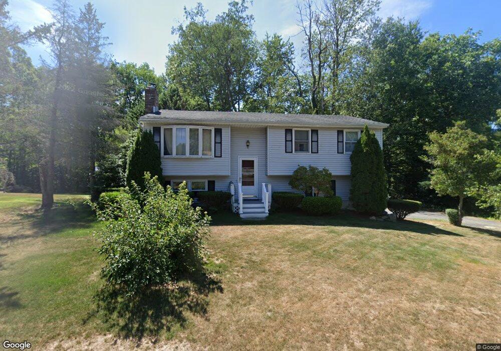
375 Heights Dr Torrington, CT 06790
Estimated Value: $311,000 - $339,000
3
Beds
2
Baths
1,028
Sq Ft
$317/Sq Ft
Est. Value
About This Home
This home is located at 375 Heights Dr, Torrington, CT 06790 and is currently estimated at $325,535, approximately $316 per square foot. 375 Heights Dr is a home located in Litchfield County with nearby schools including Torrington Middle School, Torrington High School, and St. John Paul the Great Academy.
Ownership History
Date
Name
Owned For
Owner Type
Purchase Details
Closed on
Jan 2, 2007
Sold by
Garcia Antonio J
Bought by
Kovacs Brian M and Driscoll Heidi E
Current Estimated Value
Home Financials for this Owner
Home Financials are based on the most recent Mortgage that was taken out on this home.
Original Mortgage
$187,775
Interest Rate
6.29%
Create a Home Valuation Report for This Property
The Home Valuation Report is an in-depth analysis detailing your home's value as well as a comparison with similar homes in the area
Home Values in the Area
Average Home Value in this Area
Purchase History
| Date | Buyer | Sale Price | Title Company |
|---|---|---|---|
| Kovacs Brian M | $200,000 | -- |
Source: Public Records
Mortgage History
| Date | Status | Borrower | Loan Amount |
|---|---|---|---|
| Open | Kovacs Brian M | $167,850 | |
| Closed | Kovacs Brian M | $187,775 | |
| Previous Owner | Kovacs Brian M | $55,000 |
Source: Public Records
Tax History Compared to Growth
Tax History
| Year | Tax Paid | Tax Assessment Tax Assessment Total Assessment is a certain percentage of the fair market value that is determined by local assessors to be the total taxable value of land and additions on the property. | Land | Improvement |
|---|---|---|---|---|
| 2025 | $6,815 | $177,240 | $37,730 | $139,510 |
| 2024 | $4,706 | $98,100 | $30,870 | $67,230 |
| 2023 | $4,705 | $98,100 | $30,870 | $67,230 |
| 2022 | $4,624 | $98,100 | $30,870 | $67,230 |
| 2021 | $4,529 | $98,100 | $30,870 | $67,230 |
| 2020 | $4,529 | $98,100 | $30,870 | $67,230 |
| 2019 | $4,285 | $92,820 | $34,300 | $58,520 |
| 2018 | $4,285 | $92,820 | $34,300 | $58,520 |
| 2017 | $4,247 | $92,820 | $34,300 | $58,520 |
| 2016 | $4,247 | $92,820 | $34,300 | $58,520 |
| 2015 | $4,247 | $92,820 | $34,300 | $58,520 |
| 2014 | $4,350 | $119,770 | $46,410 | $73,360 |
Source: Public Records
Map
Nearby Homes
- 136 Wyoming Ave
- 398 Funston Ave
- 7 Ford Ln
- 155 Allen Rd
- 0 Peck Rd
- 0 Highland Ave Unit 24088105
- 173 Chestnut Ave
- 39 Baron Ln
- 231 Beechwood Ave
- 121 Culvert St
- 68 Westledge Terrace
- 80 Baron Ln
- 163 Beechwood Ave
- 108 Culvert St
- 115 Beechwood Ave
- 75 Maple St
- 22 Beechwood Ave
- 60 Guilford St
- 80 Washington Ave
- 136 Peck Rd