375 Herrontown Rd Princeton, NJ 08540
Estimated Value: $1,580,000 - $1,990,000
--
Bed
--
Bath
3,630
Sq Ft
$484/Sq Ft
Est. Value
About This Home
This home is located at 375 Herrontown Rd, Princeton, NJ 08540 and is currently estimated at $1,758,437, approximately $484 per square foot. 375 Herrontown Rd is a home located in Mercer County with nearby schools including Littlebrook Elementary School, Princeton Middle School, and Princeton High School.
Ownership History
Date
Name
Owned For
Owner Type
Purchase Details
Closed on
Mar 4, 2024
Sold by
Mahon James and Mahon Mairead
Bought by
Mahon James and Birnbaum Marilyn
Current Estimated Value
Purchase Details
Closed on
Dec 10, 1987
Bought by
Mahon James and Mahon Mairead
Create a Home Valuation Report for This Property
The Home Valuation Report is an in-depth analysis detailing your home's value as well as a comparison with similar homes in the area
Home Values in the Area
Average Home Value in this Area
Purchase History
| Date | Buyer | Sale Price | Title Company |
|---|---|---|---|
| Mahon James | $182,569 | None Listed On Document | |
| Mahon James | $182,569 | None Listed On Document | |
| Mahon James | $727,200 | -- |
Source: Public Records
Tax History Compared to Growth
Tax History
| Year | Tax Paid | Tax Assessment Tax Assessment Total Assessment is a certain percentage of the fair market value that is determined by local assessors to be the total taxable value of land and additions on the property. | Land | Improvement |
|---|---|---|---|---|
| 2025 | $23,544 | $1,205,700 | $378,500 | $827,200 |
| 2024 | $21,221 | $884,100 | $378,500 | $505,600 |
| 2023 | $21,221 | $844,100 | $378,500 | $465,600 |
| 2022 | $20,588 | $844,100 | $378,500 | $465,600 |
| 2021 | $20,588 | $844,100 | $378,500 | $465,600 |
| 2020 | $21,402 | $884,400 | $418,800 | $465,600 |
| 2019 | $20,978 | $884,400 | $418,800 | $465,600 |
| 2018 | $21,860 | $937,400 | $432,500 | $504,900 |
| 2017 | $21,560 | $937,400 | $432,500 | $504,900 |
| 2016 | $21,223 | $937,400 | $432,500 | $504,900 |
| 2015 | $20,735 | $937,400 | $432,500 | $504,900 |
| 2014 | $20,482 | $937,400 | $432,500 | $504,900 |
Source: Public Records
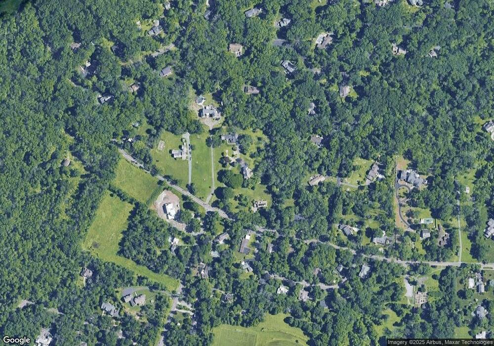
Map
Nearby Homes
- 231 Bertrand Dr
- 36 Needham Way Unit D
- 36 -D Needham Way
- 19G Evert Ct
- 8B Brookline Ct
- 8 -B Brookline Ct Unit B
- 119 Poe Rd
- 1082 Princeton Kingston Rd
- 1082 Kingston Rd
- 50 Broadripple Dr
- 32 Gulick Rd
- 100 Jackson Ave
- 150 Leabrook Ln
- 8 Governors Ln
- 33 Kennedy Ct
- 617 Mount Lucas Rd
- 23 Taft Ct
- 835 Mount Lucas Rd
- 851 Mount Lucas Rd
- 201 Grover Ave
- 383 Herrontown Rd
- 351 Herrontown Rd
- 397 Herrontown Rd
- 49 Crooked Tree Ln
- 417 Herrontown Rd
- 31 Crooked Tree Ln
- 372 Herrontown Rd
- 658 Snowden Ln
- 665 Snowden Ln
- 360 Herrontown Rd
- 99 Crooked Tree Ln
- 69 Crooked Tree Ln
- 350 Herrontown Rd
- 62 Herrontown Cir
- 640 Snowden Ln
- 342 Herrontown Rd
- 93 Crooked Tree Ln
- 643 Snowden Ln
- 16 Crooked Tree Ln
- 54 Herrontown Cir