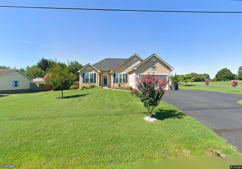
375 Maloney Rd Elkton, MD 21921
Estimated Value: $376,000 - $407,000
Studio
2
Baths
1,620
Sq Ft
$239/Sq Ft
Est. Value
About This Home
This home is located at 375 Maloney Rd, Elkton, MD 21921 and is currently estimated at $386,789, approximately $238 per square foot. 375 Maloney Rd is a home located in Cecil County with nearby schools including Holly Hall Elementary School, Bohemia Manor Middle School, and Bohemia Manor High School.
Ownership History
Date
Name
Owned For
Owner Type
Purchase Details
Closed on
Sep 11, 2020
Sold by
Stoops Shirliann
Bought by
Temple Shelagh
Current Estimated Value
Home Financials for this Owner
Home Financials are based on the most recent Mortgage that was taken out on this home.
Original Mortgage
$142,450
Outstanding Balance
$126,415
Interest Rate
2.9%
Mortgage Type
FHA
Estimated Equity
$260,374
Purchase Details
Closed on
Jan 8, 2004
Sold by
Hutchison George I
Bought by
Stoops Shirliann
Purchase Details
Closed on
Apr 1, 1981
Sold by
Precision Builders Inc
Bought by
Hutchison George I
Home Financials for this Owner
Home Financials are based on the most recent Mortgage that was taken out on this home.
Original Mortgage
$5,000
Interest Rate
15.4%
Create a Home Valuation Report for This Property
The Home Valuation Report is an in-depth analysis detailing your home's value as well as a comparison with similar homes in the area
Home Values in the Area
Average Home Value in this Area
Purchase History
| Date | Buyer | Sale Price | Title Company |
|---|---|---|---|
| Temple Shelagh | $270,000 | Ardent Title Company Llc | |
| Stoops Shirliann | $65,000 | -- | |
| Hutchison George I | $10,000 | -- |
Source: Public Records
Mortgage History
| Date | Status | Borrower | Loan Amount |
|---|---|---|---|
| Open | Temple Shelagh | $142,450 | |
| Previous Owner | Hutchison George I | $5,000 | |
| Closed | Stoops Shirliann | -- |
Source: Public Records
Tax History
| Year | Tax Paid | Tax Assessment Tax Assessment Total Assessment is a certain percentage of the fair market value that is determined by local assessors to be the total taxable value of land and additions on the property. | Land | Improvement |
|---|---|---|---|---|
| 2025 | $3,444 | $309,167 | $0 | $0 |
| 2024 | $2,820 | $284,200 | $70,600 | $213,600 |
| 2023 | $2,469 | $281,533 | $0 | $0 |
| 2022 | $3,201 | $278,867 | $0 | $0 |
| 2021 | $3,137 | $276,200 | $70,600 | $205,600 |
| 2020 | $3,092 | $262,833 | $0 | $0 |
| 2019 | $2,877 | $249,467 | $0 | $0 |
| 2018 | $2,783 | $236,100 | $85,600 | $150,500 |
| 2017 | $2,665 | $236,100 | $0 | $0 |
| 2016 | $2,700 | $236,100 | $0 | $0 |
| 2015 | $2,700 | $239,400 | $0 | $0 |
| 2014 | $2,903 | $239,400 | $0 | $0 |
Source: Public Records
Map
Nearby Homes
- 0 Delaware Ave Unit MDCC2018992
- 0 E Pulaski Hwy
- 126 Jarmon Rd
- 105 W Village Rd
- 111 Saint Louis Dr
- 120 Michaels Way
- 107 Michaels Way
- 210 Bruce Ct
- 606 Gray Mount Cir
- 1059 Frenchtown Rd
- 110 Whitehall Rd
- 111 N Tartan Dr
- 335 E Village Rd
- 6 Shade Tree Ln
- 186 Cherry Tree Ln
- 414 S Barrington Ct
- 6 Transom Ct
- 248 Red Hill Rd
- 18 Hatteras Ct
- 10 Hatteras Ct
Your Personal Tour Guide
Ask me questions while you tour the home.