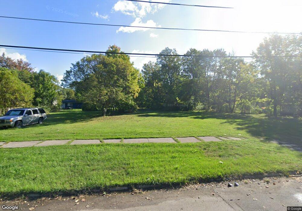
375 N Winans St Benton Harbor, MI 49022
Estimated Value: $14,000 - $138,000
--
Bed
--
Bath
--
Sq Ft
5,750
Sq Ft Lot
About This Home
This home is located at 375 N Winans St, Benton Harbor, MI 49022 and is currently estimated at $76,000. 375 N Winans St is a home located in Berrien County with nearby schools including Fair Plain Middle School, Benton Harbor High School, and Mildred C. Wells Preparatory Academy.
Ownership History
Date
Name
Owned For
Owner Type
Purchase Details
Closed on
Mar 23, 2018
Sold by
Berrein County Land Bank Authority
Bought by
Jones Bilal U and Jones Shanika C
Current Estimated Value
Purchase Details
Closed on
Jan 2, 2018
Sold by
Berrien County
Bought by
Berrien County Land Bank
Purchase Details
Closed on
Nov 14, 2012
Sold by
Wright Joe and Wright Doris
Bought by
Stigall Carl E
Purchase Details
Closed on
Feb 2, 2011
Sold by
Golliday Maurice L
Bought by
Wright Joe and Wright Doris
Create a Home Valuation Report for This Property
The Home Valuation Report is an in-depth analysis detailing your home's value as well as a comparison with similar homes in the area
Home Values in the Area
Average Home Value in this Area
Purchase History
| Date | Buyer | Sale Price | Title Company |
|---|---|---|---|
| Jones Bilal U | -- | None Available | |
| Berrien County Land Bank | -- | None Available | |
| Stigall Carl E | $2,000 | None Available | |
| Wright Joe | $4,000 | None Available |
Source: Public Records
Tax History Compared to Growth
Tax History
| Year | Tax Paid | Tax Assessment Tax Assessment Total Assessment is a certain percentage of the fair market value that is determined by local assessors to be the total taxable value of land and additions on the property. | Land | Improvement |
|---|---|---|---|---|
| 2025 | $28 | $3,000 | $0 | $0 |
| 2024 | $27 | $2,500 | $0 | $0 |
| 2023 | $21 | $500 | $0 | $0 |
| 2022 | $24 | $400 | $0 | $0 |
| 2021 | $44 | $700 | $700 | $0 |
| 2020 | $44 | $700 | $0 | $0 |
| 2019 | $44 | $700 | $0 | $0 |
| 2018 | $0 | $0 | $0 | $0 |
| 2017 | $0 | $11,900 | $0 | $0 |
| 2016 | $1,088 | $12,000 | $0 | $0 |
| 2015 | $887 | $11,000 | $0 | $0 |
| 2014 | $744 | $13,300 | $0 | $0 |
Source: Public Records
Map
Nearby Homes
- 470 N Mccord St
- 530 Rembert Ct
- 6525 Territorial Rd
- 696 Highland Ave
- 238 Pine St
- 137 Cornelia St
- 710 Buss Ave
- 992 Highland Ave
- 1069 E Main St
- 363 Brunson Ave
- 234 Walnut St
- 309 High St
- 255 High St
- 1226 Chicago Ave
- 394 Linden St
- 419 Packard St
- 391 Pipestone St
- 378 Pipestone St
- 416 E Britain Ave
- 806 Pitkins Ave