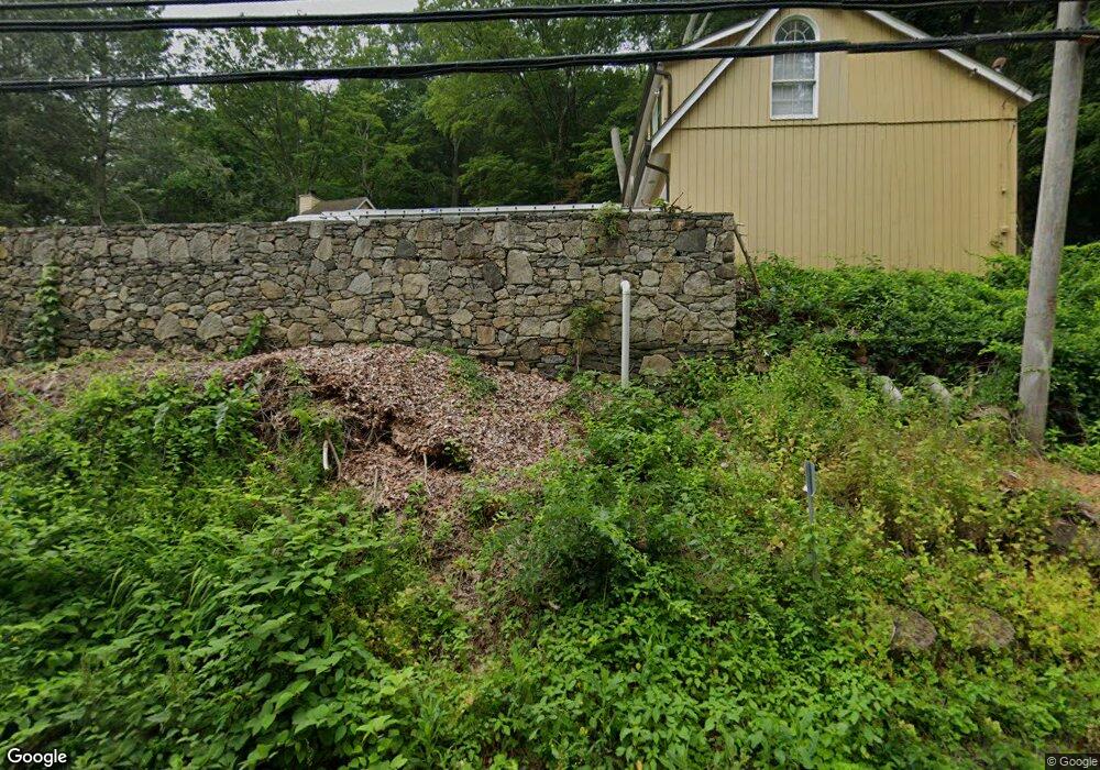
375 Pound Ridge Rd Bedford, NY 10506
Estimated Value: $3,544,000 - $4,443,000
7
Beds
6
Baths
5,868
Sq Ft
$656/Sq Ft
Est. Value
About This Home
This home is located at 375 Pound Ridge Rd, Bedford, NY 10506 and is currently estimated at $3,846,673, approximately $655 per square foot. 375 Pound Ridge Rd is a home located in Westchester County with nearby schools including Bedford Village Elementary School, Fox Lane Middle School, and Fox Lane High School.
Ownership History
Date
Name
Owned For
Owner Type
Purchase Details
Closed on
Aug 5, 2016
Sold by
Falise Katharine S and Falise Robert A
Bought by
Freund Anthony and Freund Joan
Current Estimated Value
Home Financials for this Owner
Home Financials are based on the most recent Mortgage that was taken out on this home.
Original Mortgage
$1,543,500
Outstanding Balance
$1,228,743
Interest Rate
3.41%
Mortgage Type
New Conventional
Estimated Equity
$2,617,930
Create a Home Valuation Report for This Property
The Home Valuation Report is an in-depth analysis detailing your home's value as well as a comparison with similar homes in the area
Home Values in the Area
Average Home Value in this Area
Purchase History
| Date | Buyer | Sale Price | Title Company |
|---|---|---|---|
| Freund Anthony | $2,205,000 | Benchmark Title Agency |
Source: Public Records
Mortgage History
| Date | Status | Borrower | Loan Amount |
|---|---|---|---|
| Open | Freund Anthony | $1,543,500 |
Source: Public Records
Tax History Compared to Growth
Tax History
| Year | Tax Paid | Tax Assessment Tax Assessment Total Assessment is a certain percentage of the fair market value that is determined by local assessors to be the total taxable value of land and additions on the property. | Land | Improvement |
|---|---|---|---|---|
| 2024 | $61,608 | $251,635 | $76,400 | $175,235 |
| 2023 | $60,528 | $251,635 | $76,400 | $175,235 |
| 2022 | $57,312 | $251,635 | $76,400 | $175,235 |
| 2021 | $57,392 | $251,635 | $76,400 | $175,235 |
| 2020 | $54,408 | $251,635 | $76,400 | $175,235 |
| 2019 | $54,004 | $251,635 | $76,400 | $175,235 |
| 2018 | $51,304 | $251,635 | $76,400 | $175,235 |
| 2017 | $0 | $225,795 | $76,400 | $149,395 |
| 2016 | $44,520 | $211,600 | $76,400 | $135,200 |
Source: Public Records
Map
Nearby Homes
- 1 Pine Brook Rd
- 65 Hickory Ln
- 56 Brook Farm Ln
- 9 Old Corner Rd
- 383 Pine Brook Rd
- 201 Long Ridge Rd
- 16 Millers Mill Rd
- 51 Major Lockwood Ln
- 15 Cartway Ln E
- 28 Heron Lake Rd
- 0 Brook Farm Rd E
- 17 Great Hill Farms Rd
- 23 Tatomuck Rd
- 24 Twin Fawn Ln
- 147 Mianus River Rd
- 77 Pound Ridge Rd
- 110 Oliver Rd
- 25 Col Sheldon Ln
- 40 Baylis Ln
- 16 Col Sheldon Ln
- 19 Upland Rd N
- 7 Upland Rd N
- 51 Upland Rd N
- 9 Pine Brook Rd
- 397 Pound Ridge Rd
- 407 Pound Ridge Rd
- 387 Pound Ridge Rd
- 5 Pine Brook Rd
- 10 Upland Rd N
- 20 Pine Brook Rd
- 57 Upland Rd N
- 32 Upland Rd N
- 44 Upland Rd N
- 4 Loop Rd
- 400 Pound Ridge Rd
- 3 Appleby Dr
- 34 Pine Brook Rd
- 4 Appleby Dr
- 49 Pine Brook Rd
- 2 Helena Dr