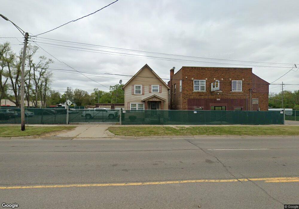
375 South Blvd E Pontiac, MI 48341
Estimated Value: $90,907 - $136,000
2
Beds
1
Bath
1,183
Sq Ft
$89/Sq Ft
Est. Value
About This Home
This home is located at 375 South Blvd E, Pontiac, MI 48341 and is currently estimated at $105,477, approximately $89 per square foot. 375 South Blvd E is a home located in Oakland County with nearby schools including Walt Whitman Elementary School, Pontiac Middle School, and Pontiac High School.
Ownership History
Date
Name
Owned For
Owner Type
Purchase Details
Closed on
Dec 3, 2021
Sold by
Charles Johnson
Bought by
Owen Randy
Current Estimated Value
Purchase Details
Closed on
Jun 3, 2016
Sold by
Bunch Patsy M
Bought by
Johnson Charles
Purchase Details
Closed on
Jan 19, 2010
Sold by
Saylor Argene
Bought by
Saylor Agrene and Bunch Patsy M
Purchase Details
Closed on
Jun 7, 1979
Sold by
Limbaugh Barbara Sue and Saylor Barbara Sue
Bought by
Saylor Argene
Create a Home Valuation Report for This Property
The Home Valuation Report is an in-depth analysis detailing your home's value as well as a comparison with similar homes in the area
Home Values in the Area
Average Home Value in this Area
Purchase History
| Date | Buyer | Sale Price | Title Company |
|---|---|---|---|
| Owen Randy | $425,000 | None Listed On Document | |
| Johnson Charles | $10,000 | Seaver Title Agency | |
| Saylor Agrene | -- | None Available | |
| Saylor Argene | -- | Lawyers Title Insurance Corp |
Source: Public Records
Tax History Compared to Growth
Tax History
| Year | Tax Paid | Tax Assessment Tax Assessment Total Assessment is a certain percentage of the fair market value that is determined by local assessors to be the total taxable value of land and additions on the property. | Land | Improvement |
|---|---|---|---|---|
| 2024 | $1,354 | $29,100 | $0 | $0 |
| 2023 | $1,290 | $25,570 | $0 | $0 |
| 2022 | $1,308 | $22,370 | $0 | $0 |
| 2021 | $938 | $19,860 | $0 | $0 |
| 2020 | $754 | $17,840 | $0 | $0 |
| 2019 | $805 | $15,370 | $0 | $0 |
| 2018 | $531 | $13,530 | $0 | $0 |
| 2017 | $507 | $12,900 | $0 | $0 |
| 2016 | $706 | $12,570 | $0 | $0 |
| 2015 | -- | $11,750 | $0 | $0 |
| 2014 | -- | $11,490 | $0 | $0 |
| 2011 | -- | $17,560 | $0 | $0 |
Source: Public Records
Map
Nearby Homes
- 455 Irwin Ave
- 583 Going St
- 323 Ferry Ave
- 209 Ferry Ave
- 200 Cedardale Ave
- 465 S Marshall St
- 472 S Jessie St
- 447 S Marshall St
- 159 Alice Ave
- 440 Martin Luther King Junior Blvd S
- 136 Alice Ave
- 273 Dellwood Ave
- 499 Bloomfield Ave
- 488 Bloomfield Ave
- 389 Osmun St
- 371 Nebraska Ave
- 151 South Blvd W
- 200 Astorwood St
- 567 Highland Ave
- 187 Wall St