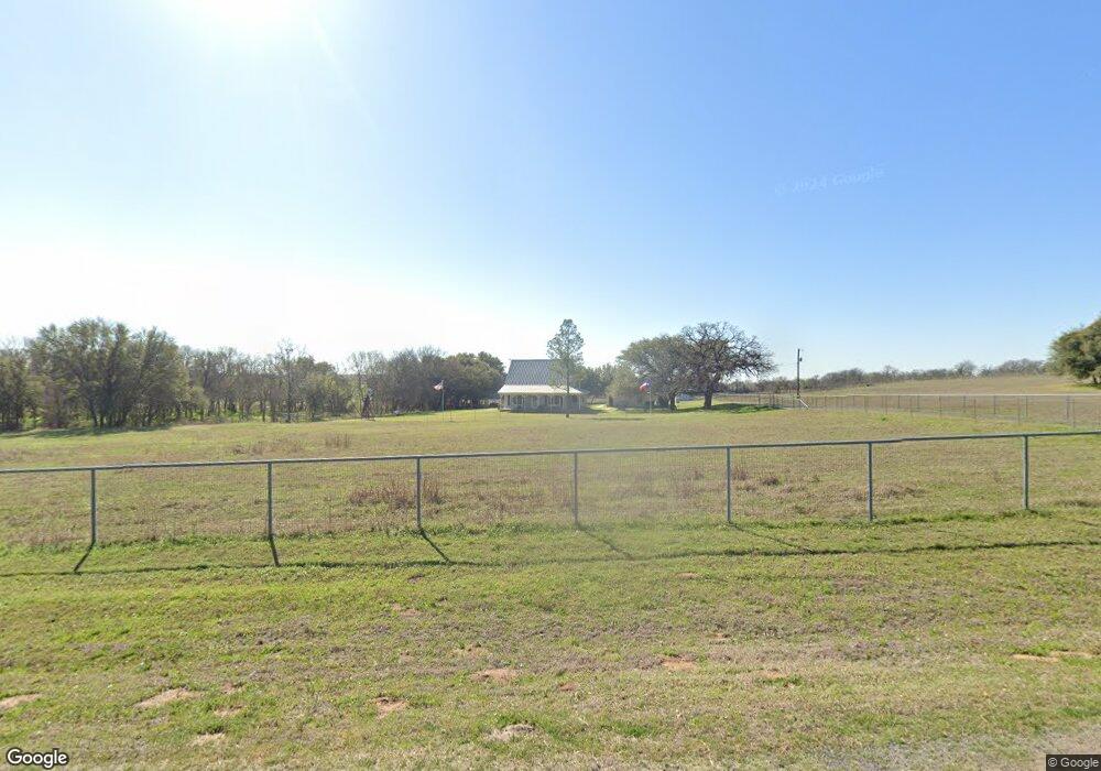
375 Southridge Dr Weatherford, TX 76087
Estimated Value: $358,392 - $462,000
--
Bed
--
Bath
1,728
Sq Ft
$240/Sq Ft
Est. Value
About This Home
This home is located at 375 Southridge Dr, Weatherford, TX 76087 and is currently estimated at $414,348, approximately $239 per square foot. 375 Southridge Dr is a home with nearby schools including Curtis Elementary School, Hall Middle School, and Weatherford High School.
Ownership History
Date
Name
Owned For
Owner Type
Purchase Details
Closed on
Oct 2, 1996
Bought by
Gray Larry M and Gray Ilona R
Current Estimated Value
Purchase Details
Closed on
Jan 2, 1996
Bought by
Gray Larry M and Gray Ilona R
Purchase Details
Closed on
Jan 21, 1993
Bought by
Gray Larry M and Gray Ilona R
Purchase Details
Closed on
Sep 1, 1992
Bought by
Gray Larry M and Gray Ilona R
Purchase Details
Closed on
Dec 31, 1986
Bought by
Gray Larry M and Gray Ilona R
Create a Home Valuation Report for This Property
The Home Valuation Report is an in-depth analysis detailing your home's value as well as a comparison with similar homes in the area
Home Values in the Area
Average Home Value in this Area
Purchase History
| Date | Buyer | Sale Price | Title Company |
|---|---|---|---|
| Gray Larry M | -- | -- | |
| Gray Larry M | -- | -- | |
| Gray Larry M | -- | -- | |
| Gray Larry M | -- | -- | |
| Gray Larry M | -- | -- |
Source: Public Records
Tax History Compared to Growth
Tax History
| Year | Tax Paid | Tax Assessment Tax Assessment Total Assessment is a certain percentage of the fair market value that is determined by local assessors to be the total taxable value of land and additions on the property. | Land | Improvement |
|---|---|---|---|---|
| 2025 | $1,759 | $266,260 | $43,170 | $223,090 |
| 2024 | $1,759 | $255,497 | -- | -- |
| 2023 | $1,759 | $232,270 | $0 | $0 |
| 2022 | $3,927 | $211,160 | $20,690 | $190,470 |
| 2021 | $4,037 | $211,160 | $20,690 | $190,470 |
| 2020 | $3,688 | $182,340 | $22,300 | $160,040 |
| 2019 | $3,573 | $182,340 | $22,300 | $160,040 |
| 2018 | $3,276 | $150,630 | $17,960 | $132,670 |
| 2017 | $5,352 | $307,770 | $175,100 | $132,670 |
| 2016 | $4,865 | $219,180 | $103,230 | $115,950 |
| 2015 | $4,395 | $219,180 | $103,230 | $115,950 |
| 2014 | $4,019 | $199,140 | $107,000 | $92,140 |
Source: Public Records
Map
Nearby Homes
- 5444 Meadow Ridge Dr
- 6140 Meadow Ridge Dr
- 0000 Walter Joseph Way
- 2008 Walter Joseph Way
- 113 Oaks Springs Ln
- 128 Southwinds Dr
- TBD Thompson Rd
- 4640 Tin Top Rd
- 153 Twin Springs Ranch Ln
- 2200 Thompson Rd
- 101 Bronco Ln
- 1001 Trinity Oaks Rd
- 4549 Arrowhead Dr
- TBD 11 Gremminger Ct
- TBD Chico Thompson Rd
- 2685 Thompson Rd
- 190 Mesquite Trail
- 112 Pioneer Trail
- 4709 Chisholm Trail
- 191 Wildflower Trail
- 380 Southridge Dr
- 408 Southridge Dr
- 419 Southridge Dr
- 600 Park Meadow Dr
- 416 Southridge Dr
- 211 Southridge Dr
- 220 Southridge Dr
- 5805 Meadow Ridge Dr
- 200 Park Ct
- 205 Southridge Dr
- 475 Park Meadow Dr
- 4402 Tin Top Rd
- 4402 Tin Top Rd
- 503 Park Meadow Dr
- 196 Park Meadow Dr
- 4409 Tin Top Rd
- 5610 Meadow Ridge Dr
- 1001 Rio Grande Way
- 5590 Meadow Ridge Dr
- 5806 Meadow Ridge Dr