375 W 4000 S Victor, ID 83455
Estimated Value: $592,000 - $1,713,000
2
Beds
1
Bath
1,032
Sq Ft
$896/Sq Ft
Est. Value
About This Home
This home is located at 375 W 4000 S, Victor, ID 83455 and is currently estimated at $924,661, approximately $895 per square foot. 375 W 4000 S is a home with nearby schools including Driggs Elementary School, Teton High School, and The Learning Academy of Teton Valley.
Ownership History
Date
Name
Owned For
Owner Type
Purchase Details
Closed on
Mar 20, 2020
Sold by
Robbins Virginia and Ray Nathan
Bought by
Konrath Jessica Marie
Current Estimated Value
Home Financials for this Owner
Home Financials are based on the most recent Mortgage that was taken out on this home.
Original Mortgage
$509,250
Outstanding Balance
$448,407
Interest Rate
3.2%
Mortgage Type
New Conventional
Estimated Equity
$476,254
Purchase Details
Closed on
Mar 18, 2010
Sold by
Ferdinansen Audrey and Ferdinandson Audrey
Bought by
Robbins Virginia and Ray Nathan
Create a Home Valuation Report for This Property
The Home Valuation Report is an in-depth analysis detailing your home's value as well as a comparison with similar homes in the area
Home Values in the Area
Average Home Value in this Area
Purchase History
| Date | Buyer | Sale Price | Title Company |
|---|---|---|---|
| Konrath Jessica Marie | -- | First American Title Driggs | |
| Robbins Virginia | -- | -- |
Source: Public Records
Mortgage History
| Date | Status | Borrower | Loan Amount |
|---|---|---|---|
| Open | Konrath Jessica Marie | $509,250 |
Source: Public Records
Tax History Compared to Growth
Tax History
| Year | Tax Paid | Tax Assessment Tax Assessment Total Assessment is a certain percentage of the fair market value that is determined by local assessors to be the total taxable value of land and additions on the property. | Land | Improvement |
|---|---|---|---|---|
| 2025 | $1,032 | $436,521 | $80,688 | $355,833 |
| 2024 | $1,032 | $421,535 | $65,702 | $355,833 |
| 2023 | $1,032 | $413,577 | $65,681 | $347,896 |
| 2022 | $965 | $336,273 | $40,313 | $295,960 |
| 2021 | $1,720 | $244,948 | $29,624 | $215,324 |
| 2020 | $1,086 | $203,113 | $29,474 | $173,639 |
| 2019 | $1,059 | $203,127 | $29,488 | $173,639 |
| 2018 | $1,065 | $186,067 | $29,153 | $156,914 |
| 2017 | $935 | $180,945 | $24,031 | $156,914 |
| 2016 | $857 | $153,083 | $23,962 | $129,121 |
| 2015 | $883 | $139,472 | $23,778 | $115,694 |
| 2011 | -- | $172,484 | $80,000 | $92,484 |
Source: Public Records
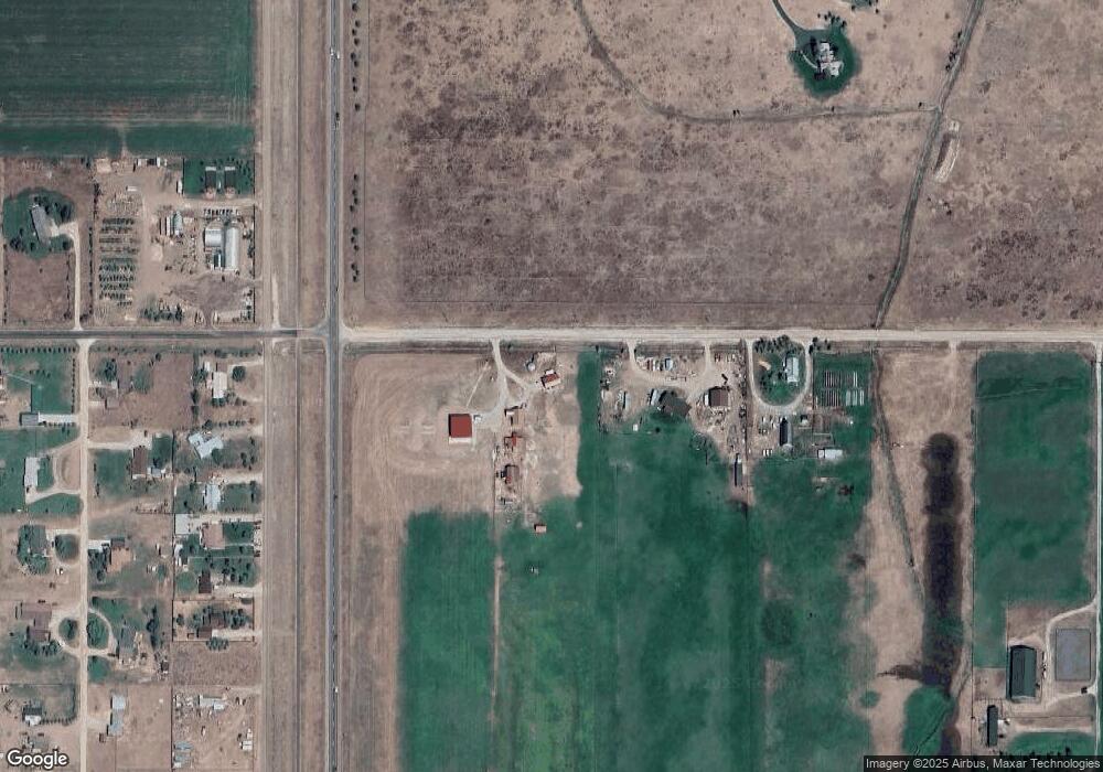
Map
Nearby Homes
- 404 W 4000 S
- 302 W S 4000 S
- 4074 S 500 W
- 525 Amy Ln
- 788 Rachel Rd
- 3829 Spruce Rd
- 4710 S 500 W
- 4710 S Fox Creek Village Dr
- 4641 Country Club Dr
- 4760 S 500 W
- 924 Peak View Rd
- 758 Peak View Estates Rd
- 485 Lone Cowboy Rd
- 840 Peak View Dr
- 840 Peak View Rd
- 882 Peak View Estates Rd
- 5014 S 400 W
- 5144 N 565 W
- 268 Lone Cowboy Rd
- 608 Thistle Creek Dr