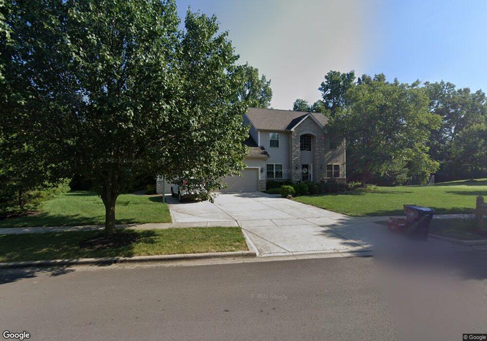
3750 Delwood Dr Powell, OH 43065
Liberty Township NeighborhoodEstimated Value: $537,000 - $582,330
4
Beds
3
Baths
2,374
Sq Ft
$238/Sq Ft
Est. Value
About This Home
This home is located at 3750 Delwood Dr, Powell, OH 43065 and is currently estimated at $566,083, approximately $238 per square foot. 3750 Delwood Dr is a home located in Delaware County with nearby schools including Tyler Run Elementary School, Olentangy Liberty Middle School, and Olentangy Liberty High School.
Ownership History
Date
Name
Owned For
Owner Type
Purchase Details
Closed on
Oct 26, 2022
Sold by
Yamokoski Todd M
Bought by
Yamokoski Laura M
Current Estimated Value
Purchase Details
Closed on
Mar 31, 2005
Sold by
Silvestri Homes Ltd
Bought by
Yamokoski Todd M and Yamokoski Laura M
Home Financials for this Owner
Home Financials are based on the most recent Mortgage that was taken out on this home.
Original Mortgage
$200,000
Interest Rate
5.71%
Mortgage Type
Fannie Mae Freddie Mac
Purchase Details
Closed on
Apr 7, 2004
Sold by
Virginia Homes Ltd
Bought by
Silvestri Homes Ltd
Create a Home Valuation Report for This Property
The Home Valuation Report is an in-depth analysis detailing your home's value as well as a comparison with similar homes in the area
Home Values in the Area
Average Home Value in this Area
Purchase History
| Date | Buyer | Sale Price | Title Company |
|---|---|---|---|
| Yamokoski Laura M | -- | Stewart Title | |
| Yamokoski Todd M | $309,300 | -- | |
| Silvestri Homes Ltd | $125,000 | Stewart Title Agency Of Colu |
Source: Public Records
Mortgage History
| Date | Status | Borrower | Loan Amount |
|---|---|---|---|
| Previous Owner | Yamokoski Todd M | $200,000 |
Source: Public Records
Tax History Compared to Growth
Tax History
| Year | Tax Paid | Tax Assessment Tax Assessment Total Assessment is a certain percentage of the fair market value that is determined by local assessors to be the total taxable value of land and additions on the property. | Land | Improvement |
|---|---|---|---|---|
| 2024 | $8,929 | $169,230 | $37,630 | $131,600 |
| 2023 | $8,964 | $169,230 | $37,630 | $131,600 |
| 2022 | $8,858 | $132,580 | $26,180 | $106,400 |
| 2021 | $8,912 | $132,580 | $26,180 | $106,400 |
| 2020 | $8,954 | $132,580 | $26,180 | $106,400 |
| 2019 | $7,791 | $120,330 | $26,180 | $94,150 |
| 2018 | $7,827 | $120,330 | $26,180 | $94,150 |
| 2017 | $3,867 | $109,980 | $23,420 | $86,560 |
| 2016 | $7,604 | $109,980 | $23,420 | $86,560 |
| 2015 | $6,868 | $109,980 | $23,420 | $86,560 |
| 2014 | $6,962 | $109,980 | $23,420 | $86,560 |
| 2013 | $6,960 | $107,460 | $23,420 | $84,040 |
Source: Public Records
Map
Nearby Homes
- 261 Andover Dr
- 524 Commons Dr Unit 524
- 274 Stamford Dr
- 2672 Sawmill Reserve Dr Unit 2672
- 4933 Emerald Lakes Blvd Unit 4903
- 55 Timber Oak Ct
- 255 Winter Hill Place
- 2300 Benning Dr
- 3910 Summit View Rd
- 10053 Juliana Cir Unit 10053
- 2961 Lexington Dr
- 87 Murphys Oval Unit N87
- 1992 Edmunds Ct
- 2168 Summit Row Blvd
- 1937 Liberty St
- 2105 Liberty St
- 2020 Liberty St
- 10010 Beckford Ct
- 8803 Yates Point Ct
- 120 S Liberty St
- 3770 Delwood Dr
- 443 Zion Dr
- 3718 Manchester Dr
- 433 Zion Dr
- 10460 Dexter Ct
- 3784 Delwood Dr
- 3787 Wedgewood Place Dr
- 423 Zion Dr
- 453 Zion Dr
- 3796 Delwood Dr
- 3795 Wedgewood Place Dr
- 413 Zion Dr
- 10474 Dexter Ct
- 3692 Manchester Dr
- 463 Zion Dr
- 10459 Dexter Ct
- 403 Zion Dr
- 10445 Delwood Place
- 3809 Wedgewood Place Dr
- 3811 Delwood Dr