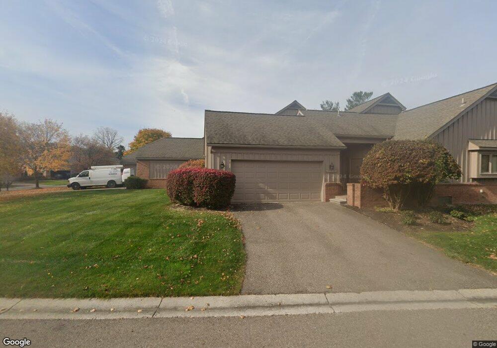
37520 Amber Dr Unit 10 71 Farmington Hills, MI 48331
Estimated Value: $365,000 - $408,000
2
Beds
3
Baths
1,819
Sq Ft
$209/Sq Ft
Est. Value
About This Home
This home is located at 37520 Amber Dr Unit 10 71, Farmington Hills, MI 48331 and is currently estimated at $379,732, approximately $208 per square foot. 37520 Amber Dr Unit 10 71 is a home located in Oakland County with nearby schools including Hillside Elementary School, East Middle School, and North Farmington High School.
Ownership History
Date
Name
Owned For
Owner Type
Purchase Details
Closed on
Aug 11, 2022
Sold by
Lee Edward S
Bought by
Sethuraman Yuvakrithika and Palanisamy Krishna Kumar
Current Estimated Value
Home Financials for this Owner
Home Financials are based on the most recent Mortgage that was taken out on this home.
Original Mortgage
$315,250
Outstanding Balance
$301,395
Interest Rate
5.51%
Mortgage Type
New Conventional
Estimated Equity
$78,337
Purchase Details
Closed on
May 29, 2014
Sold by
Torigian Kathryn A
Bought by
Lee Edward S
Home Financials for this Owner
Home Financials are based on the most recent Mortgage that was taken out on this home.
Original Mortgage
$192,000
Interest Rate
4.34%
Mortgage Type
New Conventional
Purchase Details
Closed on
Apr 28, 1999
Sold by
Smith Wanda Anzieck
Bought by
Torigian Kathryn A
Create a Home Valuation Report for This Property
The Home Valuation Report is an in-depth analysis detailing your home's value as well as a comparison with similar homes in the area
Home Values in the Area
Average Home Value in this Area
Purchase History
| Date | Buyer | Sale Price | Title Company |
|---|---|---|---|
| Sethuraman Yuvakrithika | $325,000 | None Listed On Document | |
| Sethuraman Yuvakrithika | $325,000 | -- | |
| Lee Edward S | $240,000 | None Available | |
| Torigian Kathryn A | $237,500 | -- |
Source: Public Records
Mortgage History
| Date | Status | Borrower | Loan Amount |
|---|---|---|---|
| Open | Sethuraman Yuvakrithika | $315,250 | |
| Previous Owner | Lee Edward S | $192,000 |
Source: Public Records
Tax History Compared to Growth
Tax History
| Year | Tax Paid | Tax Assessment Tax Assessment Total Assessment is a certain percentage of the fair market value that is determined by local assessors to be the total taxable value of land and additions on the property. | Land | Improvement |
|---|---|---|---|---|
| 2024 | $5,770 | $158,920 | $32,500 | $126,420 |
| 2022 | $5,544 | $134,020 | $23,360 | $110,660 |
| 2021 | $5,601 | $132,270 | $23,360 | $108,910 |
| 2020 | $4,687 | $128,640 | $23,360 | $105,280 |
| 2018 | $5,303 | $118,180 | $0 | $0 |
| 2015 | -- | $116,770 | $0 | $0 |
| 2014 | -- | $91,720 | $0 | $0 |
| 2011 | -- | $62,610 | $0 | $0 |
Source: Public Records
Map
Nearby Homes
- 28074 Hickory Dr
- 28090 Hickory Dr
- 28006 Golf Pointe Blvd
- 28046 Hickory Cir
- 28468 Schroeder St
- 28760 Hidden Trail
- 28768 Hidden Trail
- 37907 Turnberry Ct
- 38049 Lantern Hill Ct
- 00000 13 Mile
- 36241 Fredericksburg Rd
- 29445 Laurel Dr Unit 4
- 28947 Glenbrook Dr
- 27950 Copper Creek Ln
- 29671 Sierra Pointe Cir Unit 79
- 38494 Windsor Unit 54
- 29485 Beau Ridge Unit 12
- 37132 Brentwood Cir Unit 129
- 36680 Howard Rd
- 37159 Howard Rd
- 37520 Amber Dr Unit 71
- 37520 Amber Dr
- 37530 Amber Dr
- 37600 Amber Dr Unit 68
- 37601 Russett Dr Unit 79
- 37613 Russett Dr Unit 77
- 37561 Amber Dr
- 37551 Amber Dr
- 37608 Amber Dr
- 37637 Russett Dr
- 37633 Russett Dr
- 37631 Amber Dr
- 37620 Amber Dr
- 37647 Russett Dr
- 37628 Russett Dr Unit Bldg-Unit
- 37628 Russett Dr
- 28621 Auburn Ct Unit 23
- 28625 Auburn Ct Unit 22
- 28625 Auburn Ct
- 28625 Auburn Ct Unit 13 22